

Ravens94
-
Posts
1,832 -
Joined
-
Last visited
Content Type
Profiles
Blogs
Forums
American Weather
Media Demo
Store
Gallery
Everything posted by Ravens94
-
Feb Long Range Discussion (Day 3 and beyond) - MERGED
Ravens94 replied to WinterWxLuvr's topic in Mid Atlantic
The more amped this storm gets the stronger the storm gets it seems. I think it's possible for some more N/S interaction. Won't last super long but could be some heavy rates potentially. Definitely room for improvement -
Feb Long Range Discussion (Day 3 and beyond) - MERGED
Ravens94 replied to WinterWxLuvr's topic in Mid Atlantic
This really does feel like a area wide winner -
Feb Long Range Discussion (Day 3 and beyond) - MERGED
Ravens94 replied to WinterWxLuvr's topic in Mid Atlantic
Euro definitely does look better -
Feb Long Range Discussion (Day 3 and beyond) - MERGED
Ravens94 replied to WinterWxLuvr's topic in Mid Atlantic
I feel like we are in a good spot for this one. Plenty of room for the NW push -
Jan 31st - 33rd Storm Obs and Disco like it's 1979
Ravens94 replied to Bob Chill's topic in Mid Atlantic
Just dumping still Road crews gotta be just frustrated at this point lol -
Jan 31st - 33rd Storm Obs and Disco like it's 1979
Ravens94 replied to Bob Chill's topic in Mid Atlantic
Legit Snapchat-1846185977.mp4 -
Jan 31st - 33rd Storm Obs and Disco like it's 1979
Ravens94 replied to Bob Chill's topic in Mid Atlantic
Snapchat-1658353827.mp4 -
Jan 31st - 33rd Storm Obs and Disco like it's 1979
Ravens94 replied to Bob Chill's topic in Mid Atlantic
Dumping snow -
Jan 31st - 33rd Storm Obs and Disco like it's 1979
Ravens94 replied to Bob Chill's topic in Mid Atlantic
BIG snow band forming for Eastern Shore folks also -
Jan 31st - 33rd Storm Obs and Disco like it's 1979
Ravens94 replied to Bob Chill's topic in Mid Atlantic
-
Jan 31st - 33rd Storm Obs and Disco like it's 1979
Ravens94 replied to Bob Chill's topic in Mid Atlantic
Gotta admit its coming down nicely in Bel air. Can't beat sideways snow -
Jan 31st - 33rd Storm Obs and Disco like it's 1979
Ravens94 replied to Bob Chill's topic in Mid Atlantic
Heavy snow headed down 83 -
Jan 31st - 33rd Storm Obs and Disco like it's 1979
Ravens94 replied to Bob Chill's topic in Mid Atlantic
Banding forming into Eastern Baltimore and up east of 83 -
Jan 31st - 33rd Storm Obs and Disco like it's 1979
Ravens94 replied to Bob Chill's topic in Mid Atlantic
That band should want to try and push back east as the low is starting to pull away -
Jan 31st - 33rd Storm Obs and Disco like it's 1979
Ravens94 replied to Bob Chill's topic in Mid Atlantic
Still getting some really good banding and radar expansion -
Jan 31st - 33rd Storm Obs and Disco like it's 1979
Ravens94 replied to Bob Chill's topic in Mid Atlantic
Decent bands rotating back in Definitely have seen a increase here Big flakes coming down hard now -
Jan 31st - 33rd Storm Obs and Disco like it's 1979
Ravens94 replied to Bob Chill's topic in Mid Atlantic
Back to moderate snow in bel air Bands are really growing fast. Appears to be a atlantic tap to it. Goes all the way to the jersey shore -
Jan 31st - 33rd Storm Obs and Disco like it's 1979
Ravens94 replied to Bob Chill's topic in Mid Atlantic
Band definitely created a lull but it's banding back up behind -
Jan 31st - 33rd Storm Obs and Disco like it's 1979
Ravens94 replied to Bob Chill's topic in Mid Atlantic
Snow is reforming and moving back into Harford and Cecil -
Jan 31st - 33rd Storm Obs and Disco like it's 1979
Ravens94 replied to Bob Chill's topic in Mid Atlantic
Officially 2.5 in a hour -
Jan 31st - 33rd Storm Obs and Disco like it's 1979
Ravens94 replied to Bob Chill's topic in Mid Atlantic
Main roads -
Jan 31st - 33rd Storm Obs and Disco like it's 1979
Ravens94 replied to Bob Chill's topic in Mid Atlantic
-
Jan 31st - 33rd Storm Obs and Disco like it's 1979
Ravens94 replied to Bob Chill's topic in Mid Atlantic
All roads covered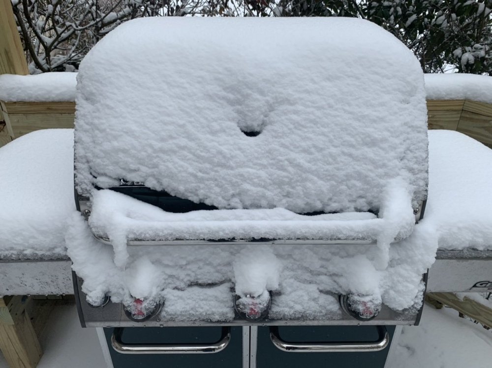
-
Jan 31st - 33rd Storm Obs and Disco like it's 1979
Ravens94 replied to Bob Chill's topic in Mid Atlantic
Just total pummeling Snapchat-269741186.mp4 -
Jan 31st - 33rd Storm Obs and Disco like it's 1979
Ravens94 replied to Bob Chill's topic in Mid Atlantic
1 inch in 20 min on my truck absolutely crazy rates


