

kevlon62
-
Posts
963 -
Joined
-
Last visited
About kevlon62

-
Early evening afterglow, brightened up with the fresh blanket. Looking good out there. 5ish on the ground.
-
Bro just reported thundersnow in Mount Prospect.
-
Great to see the upgrade out west. Edit: And now through our own neck of the woods.
-
The hose is open.
-
4-8 in the point. Oustanding day for tourney and get out for some play later on.
-
2024 Short/Medium Range Severe Weather Discussion
kevlon62 replied to Chicago Storm's topic in Lakes/Ohio Valley
SoWis tornado warning - radar indicated rotation. -
2024 Short/Medium Range Severe Weather Discussion
kevlon62 replied to Chicago Storm's topic in Lakes/Ohio Valley
Looking NNW toward the Wisconsin action. Temp went up a degree or two here. A burst of rain drops with the slightest bit of ice chased me inside.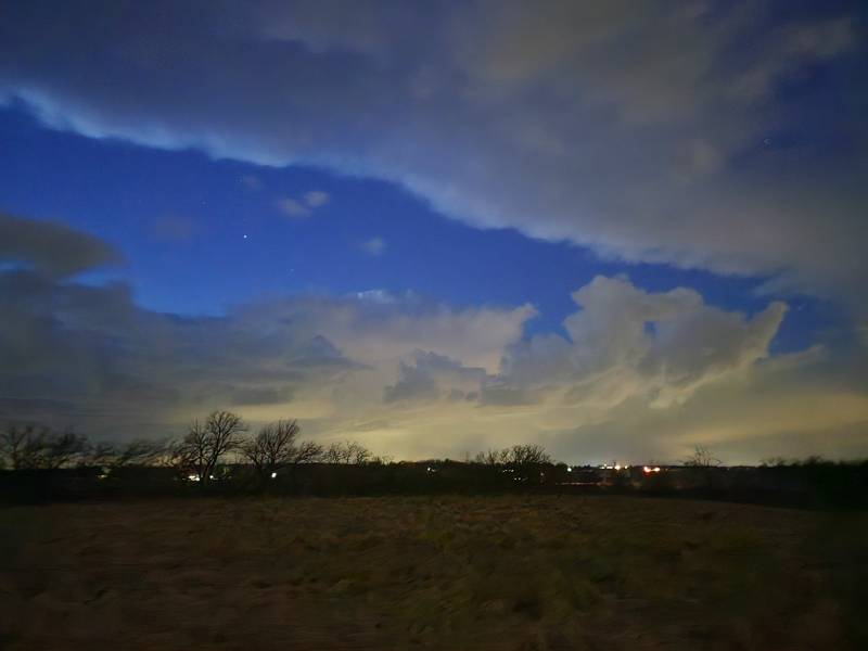
-
Winter 2023/24 Medium/Long Range Discussion
kevlon62 replied to Chicago Storm's topic in Lakes/Ohio Valley
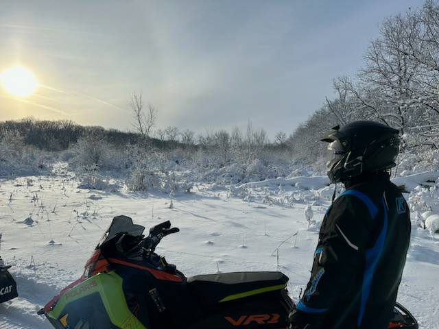
Tomorrow morning marks a full week of trails open in McHenry County. Groomers out. It's been an absolute top shelf, paradise treat.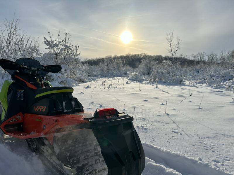
-
Snow continues at home. Power out for last thirty minutes.
-
6" in town. Heavy, full flakeage again.
-
Measured about 5" at 8 a.m. Sleet in the lull and now flakes mixing back.
-
Nearing 3".
-
2" hour rates in Woodstock. Just driveway measured 1.5" at 5:44 and then 2" at 5:57.
-
Aiming to get into Elmhurst before those returns running up I-80 around Joliet make it up. Let's shed some daylight on that.
-
Izzi/Castro AFD is a treat. Describing among other things the "double barrel" low pressure early this morning, with the southern Missouri LP and its likely devolution "later today into more of an inverted trough" amid the overall deepening cyclone.
