

Stradivarious
-
Posts
99 -
Joined
-
Last visited
Content Type
Profiles
Blogs
Forums
American Weather
Media Demo
Store
Gallery
Posts posted by Stradivarious
-
-
a trend?

* Formation chance through 48 hours...low...30 percent.
* Formation chance through 5 days...medium...40 percent.
-
In St Mary’s county onCuckhold creek, at my Dads house it’s clay to @ 10 feet down, then changes to pure white sand...it’s a very clear line delineating the change..and leads to at lot of wonderment about the geological history there..
-
 1
1
-
-
Perhaps this is part of the answer?
-
probably been posted before, but there is an MIT study floating around that strongly implies that the New York mass transit system spread, and is spreading the virus around.
Here is the link to that study, and a link to a list of the busiest mass transit systems in the US.
Seems that cities with big ridership are prone to be hotspots, as opposed to places like Seattle, Dallas etc....
Perhaps the bus and subway systems should be shut down...
http://web.mit.edu/jeffrey/harris/HarrisJE_WP2_COVID19_NYC_13-Apr-2020.pdf
https://en.m.wikipedia.org/wiki/List_of_United_States_rapid_transit_systems_by_ridership
-
Leading edge of Dorian related clouds passing directly overhead here on the boardwalk at Ocean City Maryland
-
URGENT - WINTER WEATHER MESSAGE
National Weather Service Baltimore MD/Washington DC
255 AM EST Sat Mar 2 2019
Carroll-Northern Baltimore-Northwest Harford-
255 AM EST Sat Mar 2 2019
...WINTER WEATHER ADVISORY REMAINS IN EFFECT UNTIL 7 AM EST THIS
MORNING...
...WINTER STORM WATCH IN EFFECT FROM SUNDAY MORNING THROUGH
* WHAT...Snow and freezing rain expected early this morning. Total
snow accumulation of a coating to 2 inches and total ice
accumulation of less than one tenth of an inch early this
morning. Heavy snow possible Sunday and Sunday night. Snow
accumulations of 5 inches or more are possible Sunday and Sunday
night.
* WHERE...Carroll, Northern Baltimore and Northwest Harford
Counties.
* WHEN...For the Winter Weather Advisory, until 7 AM EST this
morning. For the Winter Storm Watch, from Sunday morning
* ADDITIONAL DETAILS...Roads may be slippery early this morning.
Travel could be very difficult Sunday and Sunday night
PRECAUTIONARY/PREPAREDNESS ACTIONS...
A Winter Weather Advisory means that periods of snow, sleet or
freezing rain will cause travel difficulties. Expect slippery
roads and limited visibilities, and use caution while driving.
A Winter Storm Watch means there is potential for significant
snow, sleet or ice accumulations that may impact travel. Continue
to monitor the latest forecasts.
When venturing outside, watch your first few steps taken on
steps, sidewalks, and driveways, which could be icy and slippery,
increasing your risk of a fall and injury.
-
49 minutes ago, WesternFringe said:
Alaska
eta: ninja'd

Alaska is beautiful when you have daylight
-
Snowflakes in Owings Mills
-
33/20 Owings Mills
-
2
-
-
May be that someone put a honey pot close to the sensors....
-
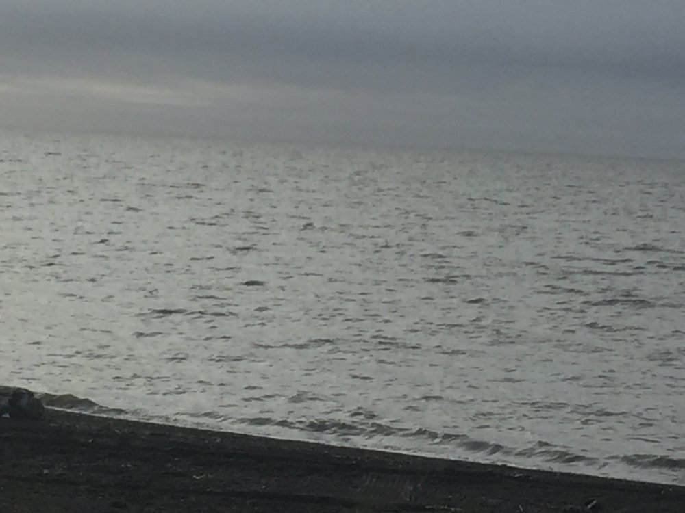
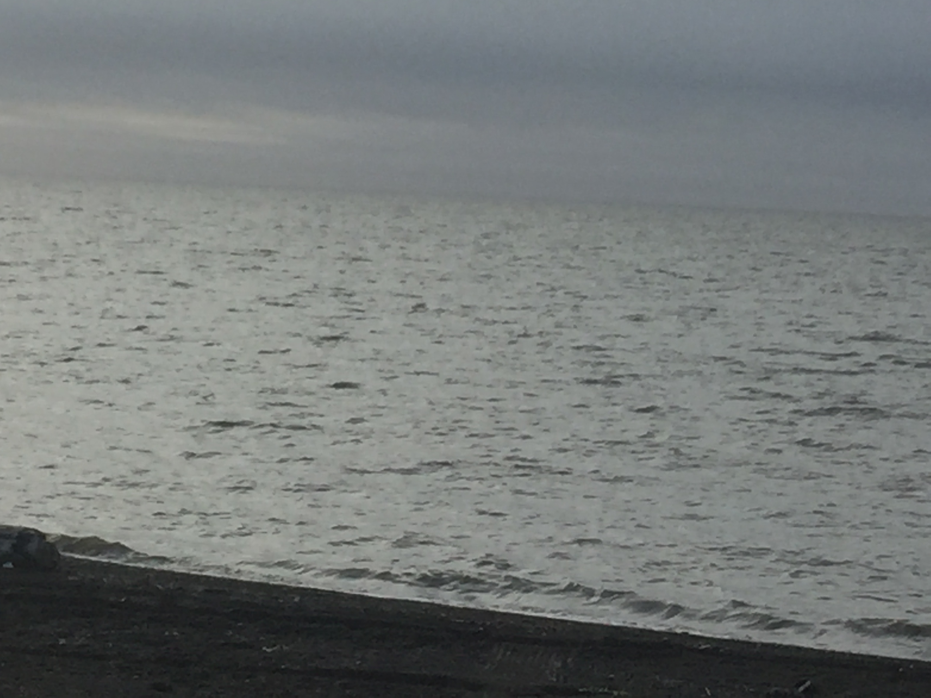
I was just at the northernmost tip of Alaska just outside Barrow on the beach on Wednesday afternoon and there was no ice to be seen...even touched the ocean there...(didn't go swimming)...
January Long Range Disco Thread
in Mid Atlantic
Posted
I lived in Winnipeg during the winter of 76-77. I remember the tv forecaster saying “it’s going to be a beautiful day today, a great day to take the kids to the zoo. The high today will be -15 F ....”.