

Justicebork
-
Posts
178 -
Joined
-
Last visited
Content Type
Profiles
Blogs
Forums
American Weather
Media Demo
Store
Gallery
Posts posted by Justicebork
-
-
45 in downtown Raleigh under glorious clear skies
. -
Sleet near downtown Raleigh.
. -
Currently sleeting at North Hills in Raleigh.
. -
1 minute ago, Iceagewhereartthou said:
Looks like dewpoints right now across the NW upstate are running in the 20s, all the way SW to Clemson/Walhalla area where they hit the 30s. Looks like 23/24 all the way to GMU, 26 here in Easley, 27 Pickens Airport. That is lower than i was expecting for today. Could figure in later for ground temps once that colder push starts.
I am very proud of this forum. After 5 days and 4500 posts, this is the first mention of ground temps.
")
-
 1
1
-
-
GFS takes a torch to everything at hr 60.
-
As per usual, Wake and Mecklenburg Counties are your battlefields. Any forecaster who is bullish or bearish on either metro area is putting up a front.
-
What a disaster.
-
GFS says nice knowing you, Wilmington and Jacksonville; and you'll love the new New Bern and Kinston.
It finally starts meandering SW towards N Myrtle at 72.
-
 1
1
-
-
GFS is just sitting and spinning over Wilmington for hours - on shore.
-
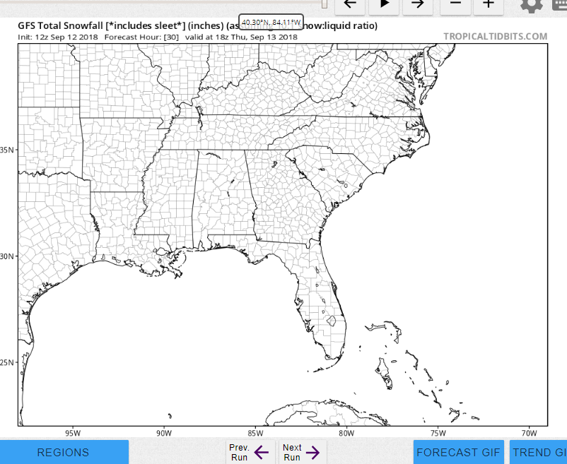
GFS not anticipating much from Florence in the way of snowfall.
-
7
-
-
3 minutes ago, Jet Stream Rider said:
Its a misleading graphic, and I think they should change the way they present that information because it will confuse most of the general public. Why show 5% chances in that manner? The information could still be reported, but not in such an alarming and confusing manner.
Its very useful as a business owner. I'm getting my trucks off the road at noon tomorrow.
-
This cane is destined to become the first tropical cyclone to cross the equator or something
-
6
-
-
And there she goes, pressing SW along the coast starting at 84 -still offshore at 96.
-
Just now, CaryWx said:
So you're telling me I should put the top up on the convertible?
Yes, and put the plants out.
-
NAM - Florence stalls out east of Wilmington at 42 and refuses to budge for the rest of the run. There will be moisture.
-
18z HWRF is a landfall at N Myrtle at hour 60. It pushes WSW into South Carolina from there.
18z HMON is a Wilmington landfall at 63, moving on to Charlotte.
-
 1
1
-
-
GFS stalls the center over Lumberton and provides a nice cooling drizzle for the Piedmont and Coastal Plain.
Very interested to see the rainfall totals from Wilmington to RDU with this one.
-
Am I seeing this right? The GFS stalls it 100 miles offshore where it bombs out before looping around and making landfall south of Hatteras at 162 as a 918 mb incendiary device. OK then.
-
1
-
-
Come on GFS take this thing wide right.
-
HWRF also has a significantly stronger storm at landfall.
-
Looks like the HMON wants to stall it over Goldsboro/Greenville.
-
6z GFS says that, yes, you should evacuate your parents immediately. This poster agrees, thinking "better safe than sorry."
I wish we knew where to take them, though. Maybe DC.
-
1
-
-
The battered wife syndrome on display from our Wake County posters right now is strong to quite strong.
. -
It really is remarkable - the German model's Wake County snow hole looks just like a territorial map of Western Europe at the height of the Battle of the Bulge.
-
1
-
1
-
Feb 20-21 OBS ( all bets off)
in Southeastern States
Posted
Mixed bag in downtown Raleigh
.