

redbanknjandbigbasslakepa
-
Posts
355 -
Joined
-
Last visited
Content Type
Profiles
Blogs
Forums
American Weather
Media Demo
Store
Gallery
Posts posted by redbanknjandbigbasslakepa
-
-
Long range pattern ugly. Aside from wet mood flakes tonight no snow in nyc for at least the next 2-3 weeks. Maybe second half of January might improve.
-
 1
1
-
 1
1
-
-
Warmup is pretty much gone on most NWP. A couple days mild associated with the cutter next weekend but then back to a cooler flow and average temps before one shorter cold shot comes through with the chance of frozen setting the stage for what looks like a big PNA+ pattern for the holidays. Some of the holiday week data is downright heading into the freezer.
-
So much for any December warmup. Aside from any short lived warm punches ahead of a cutter it looks like we generally stay below normal with at least the chance of something frozen from now through the holiday week.
-
Thanks. It doesn’t look like it is potentially that far away in the modeling from happening. Not showing signs of doing it right now but the phase doesn’t look like Hail Mary on that map.
-
Will it is safe to say the only chance this thing has of coming north even into the northern midatlantic is if that Canadian shortwave can dive enough into the backside of that deep trough to tighten up the flow on the eastern side and send it further north than currently progged. I guess that and the NE confluence moves further NE/lessens? Is that pretty much the deal and what are the chances of seeing any of that?
-
BTW, I mostly lurk in NYC and NE thread, especially with a place in Stratton now. But I miss those days of one merged thread with DT, Jerry, Ji, Anthony in NYC, Scott, Jeb all the heavy hitters. Classic stuff and some great meltdowns lol.
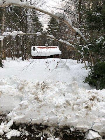
As an aside here is a pic from the front porch of the cabin this weekend.

-
 9
9
-
-
Just now, DavisStraight said:
Did it hit the northeast?
But of course. We got something like 15” of Richmond’s snow up in NJ up northeast on SNE. We always get Richmond’s snow.
-
17 minutes ago, weathafella said:
That’s a good one! How did he track you down! I think I may have had my wife take a picture of me standing in snow in my yard with a sign “this look like rain Dave?”
Jerry to this day I have no idea. And this was pretty early internet, pre social media etc. Somehow he looked me up or something, it's a great mystery. Funny conversation though, the guy has passion I'll give him that. I miss it too, he knows his stuff but swings and misses like everyone. His are legend though because of the bulletin board debates and rants surrounding them, classic stuff.
-
1 hour ago, weathafella said:
funny DT story, I think it's late 2000, maybe the millennial storm. debates were getting heated on model runs, southern snows etc. DT doesn't know me from Adam but we are bantering. The phone rings at my office at Merrill Lynch, Mike it's Dave Tolleris I just don't see this thing hitting the northeast...blah blah. I couldn't believe the guy somehow tracked me down and called me lol
-
1
-
2
-
-
For whatever reason it seems that in recent memory there have been numerous occasions where longer range modeling has a low escaping south and east, starts to show a second double barrel type situation with a second low closer the coast and slowly evolves as the event moves closer to one more consolidated low closer into the coast. We’ve seen the modeled southern slider, we are now seeing some guidance show the second double barrel scraping the coast on the tail end, will we move to one consolidated low further NW in the coming days? May not seem likely, but how many times have we said that and that the S and E guidance was very consistent 5 or 6 days out only to eventually tuck it in closer within 72 hours?
-
I’m in west Wardsboro, snow mountain farms area
-
The cabin at Stratton 1,800’

-
2
-
-
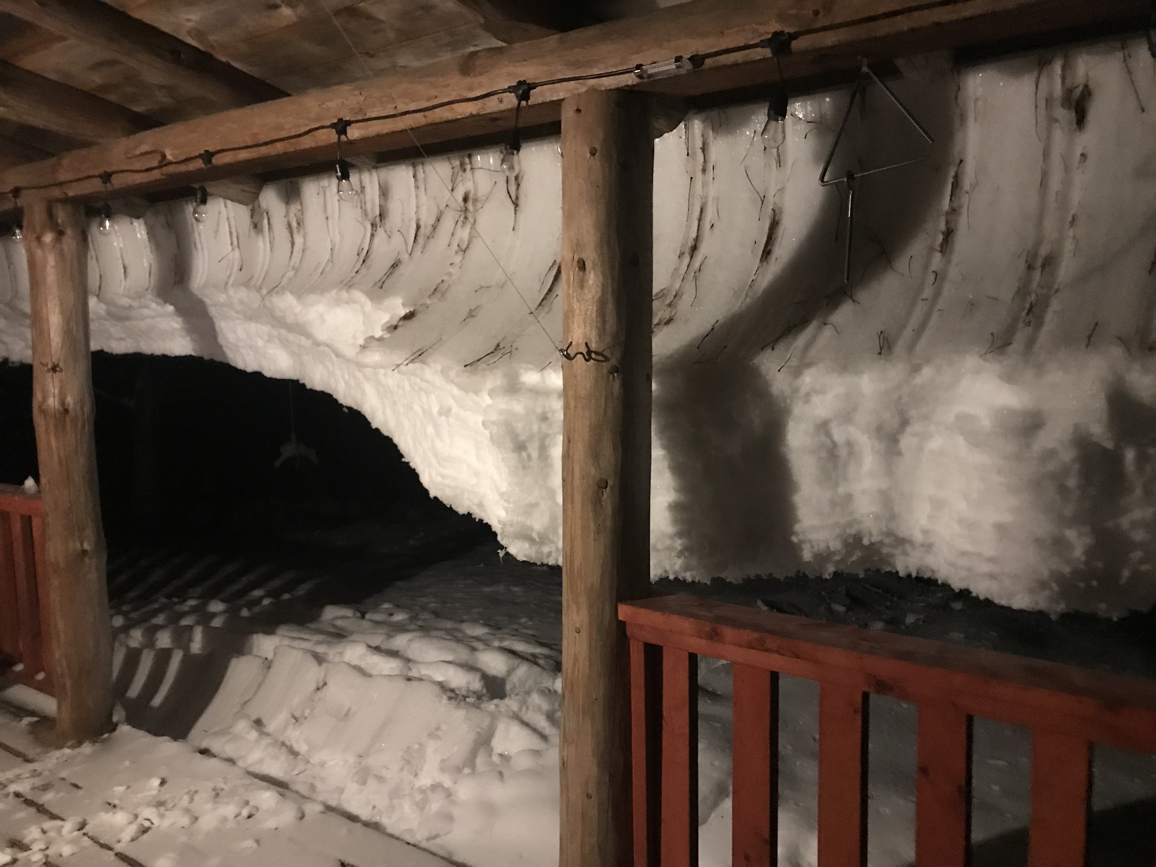
The cabin up at Stratton
-
3
-
-
BTW here in Monmouth County, school dismissal = disaster right now. Roads a mess.
-
Red Bank, NJ
Heavy snow 32
2"
-
we are getting bombed right now in red bank in northern Monmouth. couple of inches down and heavy snow hanging on
-
1
-
-
I’m in Wardsboro, VT between Stratton and Mount Snow at 1,800’ at the cabin. Snowing moderately 33 and about 3” on most surfaces.
-
1
-
 2
2
-
-
Thanks!
-
Posted this in banter but any insight from folks would help.
I just this year purchased a cabin in Wardsboro, VT in between Stratton and Mount Snow. I am at 1,800'. Anyone know that general area well and their experience with how well they do with snow in general, types of events, etc. Thanks!
-
I just bought a cabin in Wardsboro VT between Mt. Snow and Stratton. 1,800’. Aside from the skiing, anyone familiar with that area and general climate for snow and how well the area does.
-
1 hour ago, ORH_wxman said:
I really want to get there. It's one of the few real mid sized mountains with a good rep I haven't been to yet. Everyone raves about it once the snowpack gets deep and the glades are open season.
Beats the hell out of Stratton. Mount snow is a very good mountain too. Skip Stratton.
-
Hidden gem in skiing, Magic Mtn
-
3 hours ago, Paragon said:
It's an entirely different world north and west. Driving tomorrow morning into the Poconos and I see reports that the one inch of snow that fell there a few days ago is still on the ground!
It's not, it melted the next morning. You won't see any snow up there.

December 2018 General Discussion & Observations
in New York City Metro
Posted
Long range model depictions are a train wreck and getting worse. Mild and wet through mid-January. Incoming ratter?