

Quasievil
-
Posts
939 -
Joined
-
Last visited
Content Type
Profiles
Blogs
Forums
American Weather
Media Demo
Store
Gallery
Posts posted by Quasievil
-
-
24 minutes ago, NorthArlington101 said:
Much like the OP… not a lot on the snow front but rather massive jump southward on the LP
12z EPS
6z EPS
Great pickup, yeah, that is trending in the right direction. Rain/snow lines should be ignored for now!
-
For those watching storms long enough, when the GFS is out on an island, it doesn't bode well for us. Fingers crossed though.
-
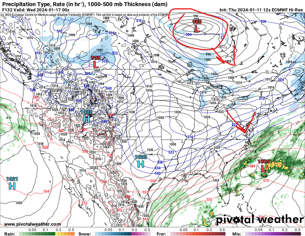
Suppression City on 12Z Euro. Lower, stronger LOW over Canada. Doesn't raise the heights. Flatter over coastal NC and Bye Felicia out to sea. MEH.
-
1 minute ago, CAPE said:

That’s how we would setup the snow map if we wanted it to snow here. High pressure just in Canada, low over Hatteras, 50/50, a little east but whatever. Nearly Textbook.
-
 2
2
-
-
1 minute ago, Heisy said:
12z gfs will be amped, 50/50 backing off a bit and main wave is even stronger, congrats buffalo this run
.That's no bueno.
-
I know we shouldn't focus of thermals this far out, the storm idea is the only key, but it does show how us east of 95 folks can really fail hard here
-
For now, I'm just happy that the idea of the storm is on most models. It's time to track ya'll.
-
25 minutes ago, clskinsfan said:
Pretty unreal national snow accum map. 70+ inches in the midwest. 50+ in the NE. Crazy storm

...and nearly ZERO here. Welcome to WinTurd 2022-2023.
-
1
-
-
10 minutes ago, Ji said:
i see even in MJO Phase 8--the gfs is still giving us cutters

GFS has no blocking. This a year for cutters.
-
Vorts over Texas really aren’t that far apart from GFS vs CMC…the Canadian has this blocking feature, GFS has it north and weaker.

-
Neutral tilted 500 at 126 over central Texas def isn’t a good sign for us. Ack. Going to go negative way too early, IMO. Even further west at 138 vs 18Z. Meh. Ensembles!
-
The ICON is a bomb. We normally ignore that model for good reasons but I love snow pron.
-
50 minutes ago, anotherman said:
He just wants to crush our dreams.We don’t need him to crush dreams, wait for GFS 0Z to do that.
-
 6
6
-
-
51 minutes ago, Ralph Wiggum said:
That bust of march '01 didnt fall apart until 18 hours prior, at least up my way. Modeling has come a long way since that time.
I think I'm still bitter over that storm.
-
1
-
-
36 minutes ago, Bob Chill said:
Check out some of these analogs... top tier stuff. Late Dec 2000 had an historic NE Miller B. We were subject to typical bad luck/timing/poor spacing when it mattered. It was a bomb tho.
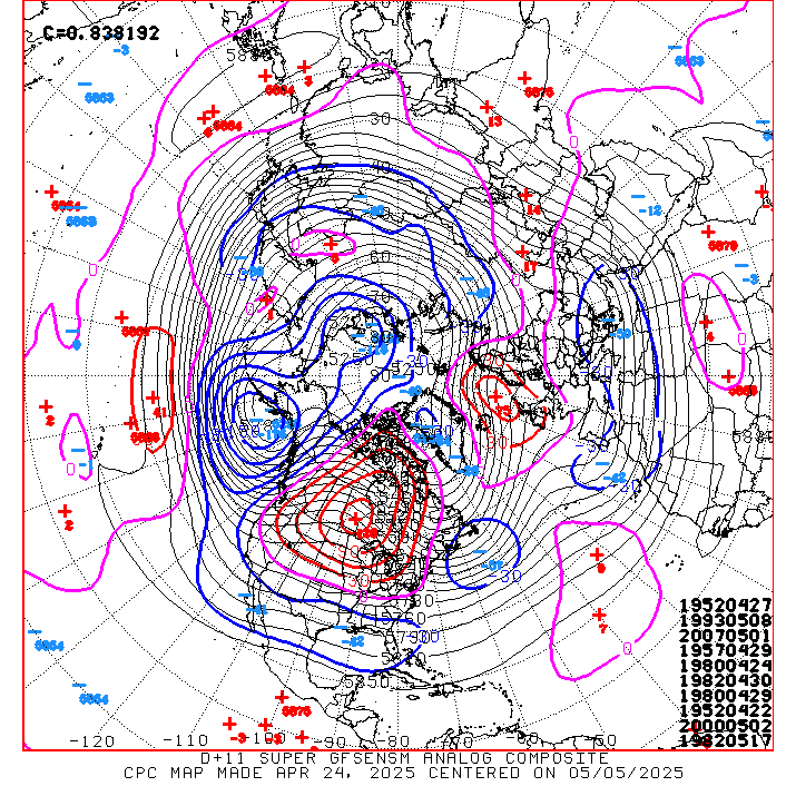
12-18-2009 is an exceptional analog!
-
1
-
 1
1
-
-
3 hours ago, The Dude said:
Welcome! Good to see you here.
3 hours ago, DarkSharkWX said:Welcome!
3 hours ago, Solution Man said:Congrats
2 hours ago, WxUSAF said:Request submitted. Welcome @wxmvpete!
This place sure has gotten polite!
")
-
2
-
-
3 minutes ago, Solution Man said:
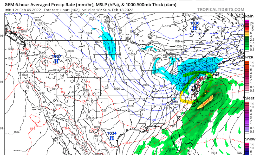
I expect the GFS to look better than the ICON....that Sucks. Browsing to increase significantly in 15 mins
At the bare minimum, it needs to look better than the 12Z NAM. That was a hot mess. EDIT: 12Z NAM.
-
1
-
-
39 minutes ago, Chris78 said:
Canadian is very consistent.

I'm glad it gave up that horrendous 12Z look.
-
5 minutes ago, WxUSAF said:
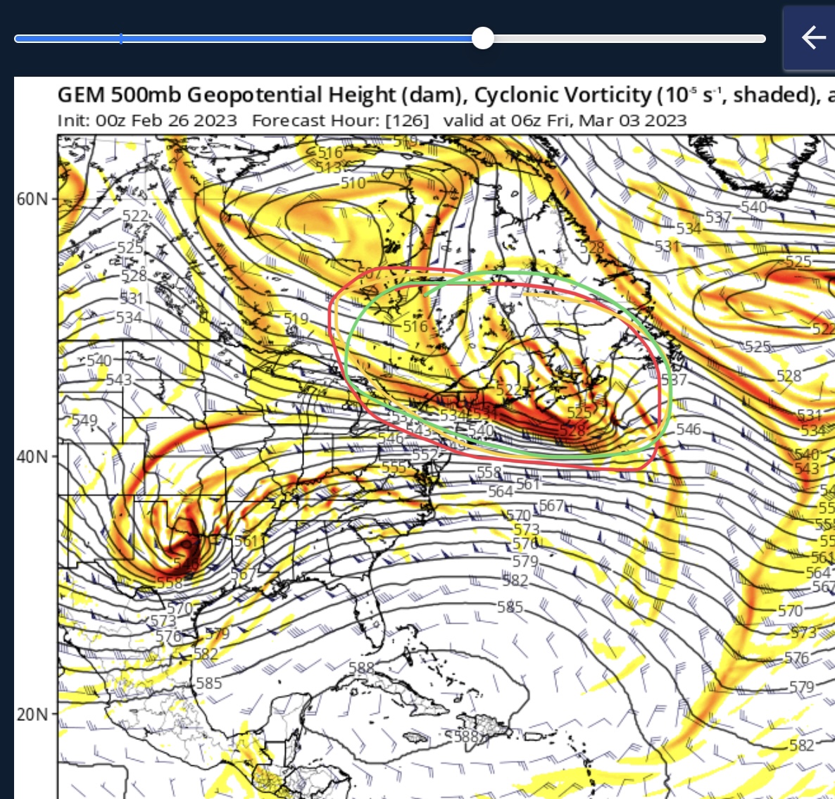
Need to see more, but one animation I saw elsewhere suggests EPS has no members which look like the GGEM. As @psuhoffman, yesterdays 18z EPS had a shotgun of scenarios including some like that.
I'm astounded at the virtually ZERO southern stream (southern stream.. .what southern stream?) interaction. Trough doesn't go further south than northern KY where on the GFS it's in northern FL. Bananas.
-
 1
1
-
-
Weenie model if I've ever seen it.


-
1
-
-
1 minute ago, WxUSAF said:
This was a pretty massive jump from the euro so I don’t think we’ve found anything approaching the final solution. EPS will be interesting.
The northern stream dropping into the trough could be really good. But we do want some southern stream involved. That affects moisture northward so we perhaps at least get that frontal snow even if we miss the coastal. Hard to lean against the seasonal/Niña trend for areas closer to the coast to be favored for the coastal.
I feel like the front end is going to make everyone happiest in this forum. Miller B type coastal storms during a La Nina and lack of blocking is not going to work well for everyone. IMO.
-
14 minutes ago, WxUSAF said:
The northern stream comes in too far east so it acts more like a kicker than a phase. Obviously some huge variance in that strength and position between the GGEM, Euro, and GFS.
Man I'd hate to say it but in a La Nina, this result seems more likely, IMO.
-
This is NOT a good look for us.
-
1
-
 1
1
-
-
3 minutes ago, snowmagnet said:
I’m definitely not frustrated with the tracking this year. Even tracking the blizzard that hit the coast was fun for me. When there is nothing to track (like 2020), winter becomes extremely long and depressing. I agree about wanting a big storm (or 2!) at this point in the winter.
Agree. The past few years have been depressingly quiet and boring.
-
1
-

2024 Valentines Day Who the Hell Knows - Comeback Thread
in Mid Atlantic
Posted
The NAM is south of previous runs…only thing we should focus on right now.