
Blacksburg Coach
-
Posts
190 -
Joined
-
Last visited
Content Type
Profiles
Blogs
Forums
American Weather
Media Demo
Store
Gallery
Everything posted by Blacksburg Coach
-
Southern Crippler - Get well soon Jimbo Storm Obs
Blacksburg Coach replied to BooneWX's topic in Southeastern States
It's hard to believe we could see freezing rain with temps in the mid teens -
Southern Crippler - Get well soon Jimbo Storm Obs
Blacksburg Coach replied to BooneWX's topic in Southeastern States
I know it, I was watching how cold it was getting around 5k FT and thought maybe it would be delayed. Makes me worry about freezing rain. -
Southern Crippler - Get well soon Jimbo Storm Obs
Blacksburg Coach replied to BooneWX's topic in Southeastern States
Just changed over, all sleet. -
Southern Crippler - Get well soon Jimbo Storm Obs
Blacksburg Coach replied to BooneWX's topic in Southeastern States
https://www.wunderground.com/dashboard/pws/KVANEWPO63 You'll notice another station about 2 miles from this one with very similar readings. Now down to 3F on mountain lake -
Southern Crippler - Get well soon Jimbo Storm Obs
Blacksburg Coach replied to BooneWX's topic in Southeastern States
The good news- Dry powdery snow will not allow sleet to pile up on electric lines and trees. -
Southern Crippler - Get well soon Jimbo Storm Obs
Blacksburg Coach replied to BooneWX's topic in Southeastern States
Weather station just north of me, at 4500' dropped about 6 degrees in the last hour. They currently sit at 4 F. -
Southern Crippler - Get well soon Jimbo Storm Obs
Blacksburg Coach replied to BooneWX's topic in Southeastern States
13.9 F- temperature still dropping. Moderate snow -
Southern Crippler - Get well soon Jimbo Storm Obs
Blacksburg Coach replied to BooneWX's topic in Southeastern States
Darker greens over me now, Slightly bigger flakes, some penny sized. I see some yellow radar signals popping up to my West, waiting for those to cross. -
Southern Crippler - Get well soon Jimbo Storm Obs
Blacksburg Coach replied to BooneWX's topic in Southeastern States
Been watching it, I'll update when I see it. -
Southern Crippler - Get well soon Jimbo Storm Obs
Blacksburg Coach replied to BooneWX's topic in Southeastern States
-
Southern Crippler - Get well soon Jimbo Storm Obs
Blacksburg Coach replied to BooneWX's topic in Southeastern States
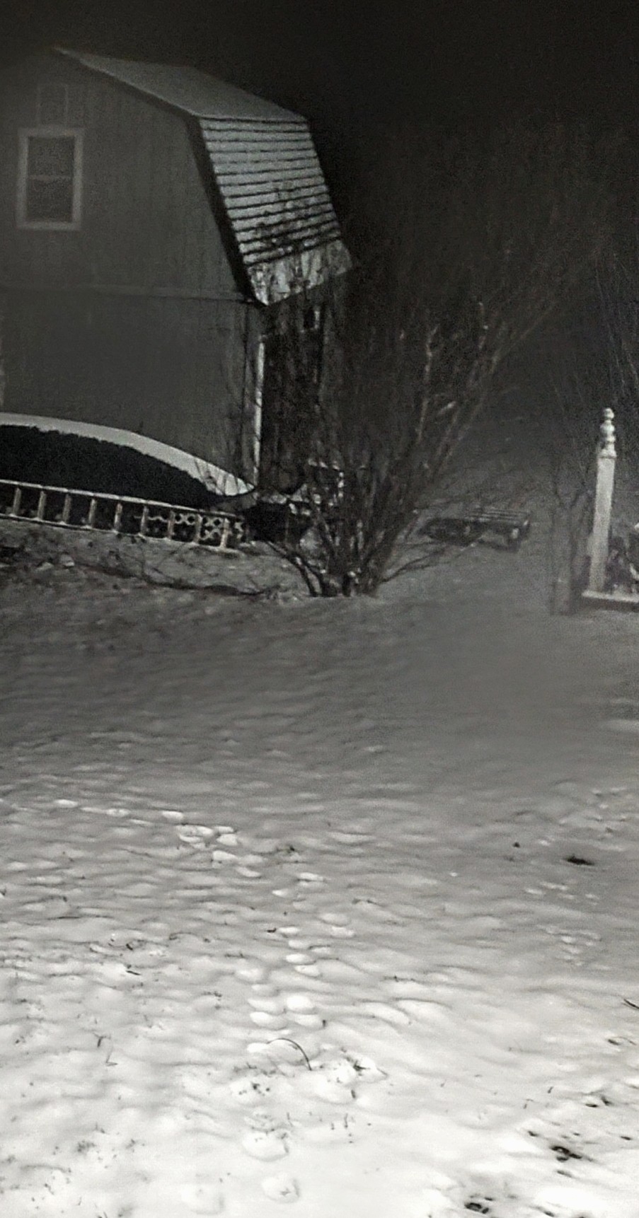
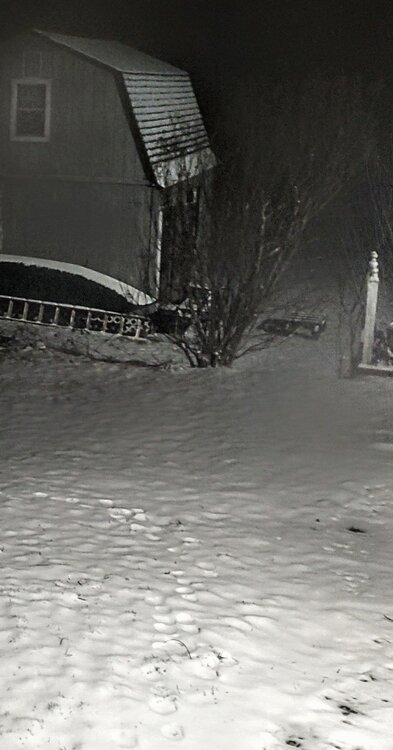
Got it! This was around 5:15
-
Southern Crippler - Get well soon Jimbo Storm Obs
Blacksburg Coach replied to BooneWX's topic in Southeastern States
I mean to post a picture -
Southern Crippler - Get well soon Jimbo Storm Obs
Blacksburg Coach replied to BooneWX's topic in Southeastern States
Did you have to modify your picture? It keeps telling me the file is to big -
Southern Crippler - Get well soon Jimbo Storm Obs
Blacksburg Coach replied to BooneWX's topic in Southeastern States
15.1 F Really Snowing now. -
Southern Crippler - Get well soon Jimbo Storm Obs
Blacksburg Coach replied to BooneWX's topic in Southeastern States
Given the above, still think sleet will be the predominant precip type for a while on Sunday, but some guidance now indicating an earlier transition to freezing rain, especially across the VA/NC border and south. With the higher confidence of more freezing rain, have kept ice amounts to 0.4" to 0.75" for most of North Carolina and southern/SW Virginia, with localized higher amounts along the crest of the Blue Ridge. This is a significant amount of ice... downed trees and power lines, resulting in extended power outages are now becoming more likely. Since sleet typically has a liquid equivalent ratio of roughly (2- 1/3-1), we could potentially see additional sleet totals on top of any snow that falls early on in the event. The snow that does fall into this extremely cold and dry airmass will be very fluffy and light, while the sleet that falls on top, combined with freezing rain, will lead to a heavy crust on top of the previously fallen snow. -
Southern Crippler - Get well soon Jimbo Storm Obs
Blacksburg Coach replied to BooneWX's topic in Southeastern States
Is there a calculator online to determine evaporational cooling? Being 15.5F with a RH of 81% would the temps still drop? -
Southern Crippler - Get well soon Jimbo Storm Obs
Blacksburg Coach replied to BooneWX's topic in Southeastern States
15.2 degrees Moderate snow falling -
Southern Crippler - Get well soon Jimbo Storm Obs
Blacksburg Coach replied to BooneWX's topic in Southeastern States
Really hammering outside. 17.2 F -
Southern Crippler - Get well soon Jimbo Storm Obs
Blacksburg Coach replied to BooneWX's topic in Southeastern States
Another band of moderate snow just passed, slowing down now. Temps falling Down to 16 now IMBY -
Southern Crippler - Get well soon Jimbo Storm Obs
Blacksburg Coach replied to BooneWX's topic in Southeastern States
For those in northern NC and SWVA 5k ft https://econet.climate.ncsu.edu/m/?id=GRANDFATHR 4k ft https://www.wunderground.com/dashboard/pws/KVANEWPO63 5k ft https://dyacon.net/station.php?pid=df805c8d2406a8585d5a7100e5d3de62 Use these to see the warm nose moving in -
Southern Crippler - Get well soon Jimbo Storm Obs
Blacksburg Coach replied to BooneWX's topic in Southeastern States
Snowing a pretty good clip here. 18 degrees and falling -
January 25/26 Jimbo Back Surgery Storm
Blacksburg Coach replied to Jimbo!'s topic in Southeastern States
It's a monopoly on public infrastructure. They control waterways, politicians and make money hand over first. There is nothing safer than an investment in utilities and their dividends.Power companies often charge too much because most customers have little to no choice in who provides their electricity, giving these companies monopoly power with limited competition. Rates continue to rise faster than wages, even though service reliability and customer support do not always improve at the same rate. At the same time, power companies frequently report strong profits and high executive pay. The lack of transparency in how rates are set ? If you were on the up and up you wouldn't need to hide charges like a credit card company. Not a knock on you, I have several friends who are linemen and I appreciate them, these companies are a business and legally their CEOs are required to make these companies as profitable as they can and profitability always trumps affordability for families. Sorry guys, I know this is a storm thread. I'll make this my last post on the issue. -
Southern Crippler - Get well soon Jimbo Storm Obs
Blacksburg Coach replied to BooneWX's topic in Southeastern States
Steady snow here, 19 degrees. Looking at temps above 4000' sudden drop on temps of about 4 degrees -
January 25/26 Jimbo Back Surgery Storm
Blacksburg Coach replied to Jimbo!'s topic in Southeastern States
Other than skyrocketing for no reason lol! -
Southern Crippler - Get well soon Jimbo Storm Obs
Blacksburg Coach replied to BooneWX's topic in Southeastern States
You're about 4 degrees colder than me, don't see that very often.