

Solo2
-
Posts
1,468 -
Joined
-
Last visited
Content Type
Profiles
Blogs
Forums
American Weather
Media Demo
Store
Gallery
Posts posted by Solo2
-
-
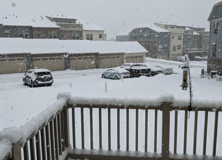
Probably some of the largest snowflakes I've ever seen today...pretty cool.
-
Second yellow band not what the first was so far...compacting/melting quicker than it is accumulating...
-
Although we won't end up with what PSU has...3rd warning even here now as well and snow picking back up after a lull.
-
Overperformer in my book, even if the next band doesn't add up to much given the temps.
-
About to cross over into warning criteria land...
-
 5
5
-
-
-
Probably 60-90 mins away from low end warning criteria amounts...awesome snow rates and flake size.
-
From about 20 mins ago...probably another .5" since:
-
4
-
-
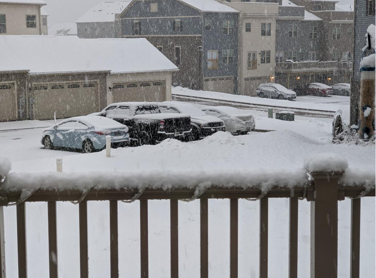
Well under 1/4mi vis and probably 2" an hour rates at the moment. The would could shoulda had these rates and flake size been last week! Pretty awesome out....
-
1
-
-
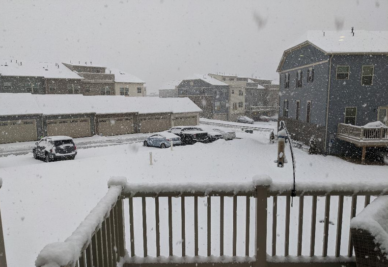
Pouring snow...started about 5:15ish and we are closing in on 2.5" on elevated areas and normal favored surfaces.
-
This has all the feeling of a normal even that jogs 30-50mi NW of guidance right at onset and smokes parrs ridge area.
-
 1
1
-
-
13 minutes ago, Eskimo Joe said:
That area averages 1100 to 2000 feet (Ft. Ritchie) it's such a weird, cool area!
Yup...generally if there are a few outliers in total accumulations relative to other areas in the mtns...it is because they are just 600-1000' higher than the normal 1000' elevation measurements...
-
2 minutes ago, mappy said:
Orographic lift I think is helping?
Yep...a perfect spot for this type of storm. That is probably at 1700-1900'.
-
The last two hours saved this storm here...it's been pretty great. Legit SN+ with big pillow flakes for about 2 hours of the last 3. I don't know the total but nearby reported 3-4 yesterday and we have easily exceeded that since 1pm today.
-
1
-
-
SN+ has returned
-
1
-
-
Just need that ~40mi wide area of heavy snow to cycle down from the M/D line on through in tact and things get fun again....
-
1
-
-
3 minutes ago, MillvilleWx said:
Considering the current radar, orographic orientation of the area, 85H and 7H moisture layer, and weak ascent due to 850-700mb frontogen, this is the area I’d say is in good shape for 2-4” additional inches minimum, mainly on the southern edge. 4-8” is possible across the northern tier, especially north-central and northwest Carroll, northern Frederick county, and northern Washington County.

.So basically 2-4 for the I70 crew moving up from that 4" the farther north you venture....?
-
Kind of strange LWX didn't issue the same update for Wash/FDK counties (stuck with 2-4...splitting hairs I know)...the northern areas are going to stay in the good stuff a while it seems.
-
Just now, Eskimo Joe said:
Several 12 - 16 reports in some earlier pages in northern Frederick County. Might see someone pop a 20" number towards Ft. Ritchie or Sabillasville.
My guess is that area is poised for a bit more than that...I would bet there is some 2'+ numbers above 1600' by the time it settles down.
-
Band dying off as it hits 70 in FDK, but still best snow of the event by a longgg shot.
-
SN+ but small flakes so far...
-
First real band of the storm starting....game time.
-
Please sweet baby jebus keep that yellow/orange band together through New Market/FDK
-
Only concerning thing here is it has gotten much brighter out....
February 7th Storm Threat Discussion/Obs
in Mid Atlantic
Posted
Winding down on the radar but going out with a bang...