Double Action
Members-
Posts
27 -
Joined
-
Last visited
About Double Action

Recent Profile Visitors
The recent visitors block is disabled and is not being shown to other users.
-
Nothing much to report from my house. Lots of rain but that was expected. I hope people that are new to Florida don’t disregard any future warnings when a system comes in. They are all dangerous and unpredictable. We just got lucky this one succumbed to shear.
-
The inner band is about to come over me here in pinellas. I’ll see what it brings. So far we have had some gusty wind nothing to write home about and the last hour heavy rain.
-
Tampa has an Indian burial ground that protects us. I have heard that and I now fully believe it.
-
Darn. I’m sure I’ll be next. BTW happy birthday. Iam new here but already feel like Iam home. Bridges are closed and police blocking travel to the beach strip as I tried to go. Still close to water and seeing some gusts. I too hope nobody gets hurt or any damage but these systems are exciting.
-
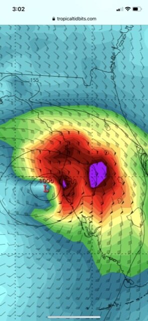
Unfortunately the strongest winds in this one are north in those two heavy bands around center and over water. 70 mph sustained and that’s going to hit Pinellas county and Tampa. Good news is it will be a East and SE direction so flooding less an issue but I see power outages and some damage a certainty. Dark night is coming.
-
Iam right on the coast next to belleair bridge. I’ll try and take some video if things get interesting.
-
We could be seeing the enhancement going on as it interacts with that frontal boundary that was mentioned. Why do these things always hit at night.
-
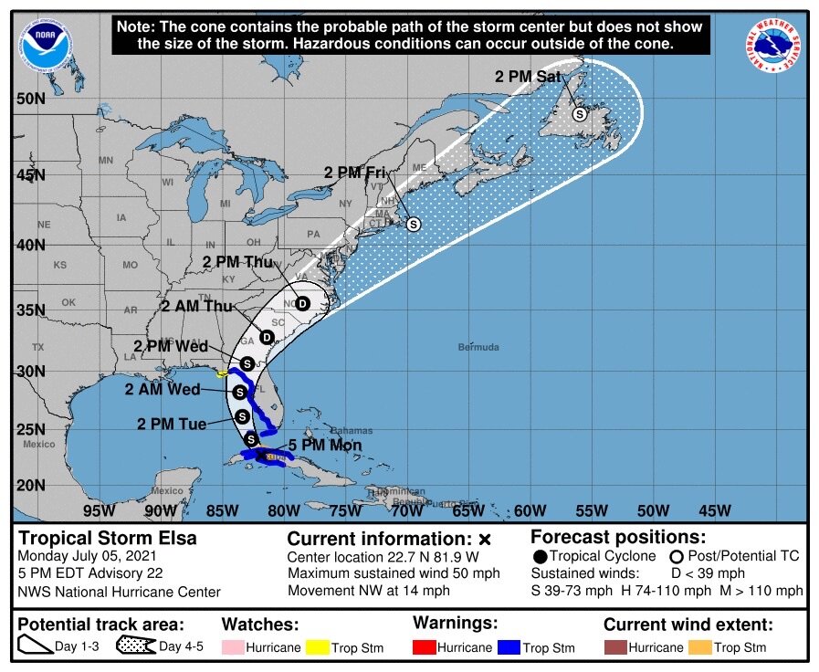
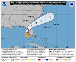
NHC nudged east. Anyone in Tampa wanting to see what a strong TS is like is going to get their wish. This one is coming closer to us than ETA and could be a direct hit.
-
It’s the upside down U on the left of your X
-
I lost power here 25 minutes ago from a lightening strike. Good news is I have a generator and it works. First real test.
-
The impact and last day of the track is going to mirror ETA. Unless of course it comes in stronger than ETA but right now looking pretty similar. There’s going to be a greater impact to south Florida though due to proximity as ETA came in from farther out.
-
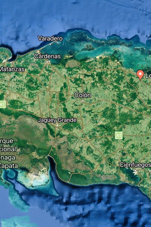
Made landfall in Cuba. Should be exiting in 4 hrs.
-
-
The GFS actually shows the worst possible approach to tampa. Would rather have it go right over my head. Even the NHC forecast puts us on the worst side.
-
Looks to be much better organized despite the westerly shear. Difference is it’s not plowing directly into it at breakneck speed. It also has picked a less hostile area to cross. The water stays exceptionally warm and deep right up to land and the mountains of Escambray are east of Cienfuegos. The only thing in the gulf to hold it back is going to be shear. Going to be interesting for sure.


