DirtySnowDen
-
Posts
87 -
Joined
-
Last visited
Content Type
Profiles
Blogs
Forums
American Weather
Media Demo
Store
Gallery
Everything posted by DirtySnowDen
-
I’m still hungry. Still waiting for my dinner of “words”, cuz I do not want this for me/family and friends, but sadly the trend is not a friend I have..
-
Only reason k remember 3ff of snow is because, the precursor storm was plowing MLway above model expectations.
-
Remember “Nemo”? Convecfive feedback is what changed the area of highest impact 50 miles east from whom was supposed to jackpot. This is very similar. No one is gonna going to know till the beast is unleashed, and she’s just getting her tether.
-
Granted, go-time is getting close, but the the dynamics of the beast are dynamics.
-
Not done yet “doing the shuffle.”
-
I’m thinking a soft, yet strong landfall on LI, doing its dance and meandering around BIS as it kaboots in its feeble state Monday.
-
Yes.
-
Last post for the night; it’s looking worse and worse for us. All depends on if it does a 50/50 split or a 40/60.
-
Really curious what the Goofus does
-
-
No Sandy was. Because it wasn’t tropical, NHC “threw hands up” saying it’s ET.
-
It’s Spanish for “The Niño”
-
-
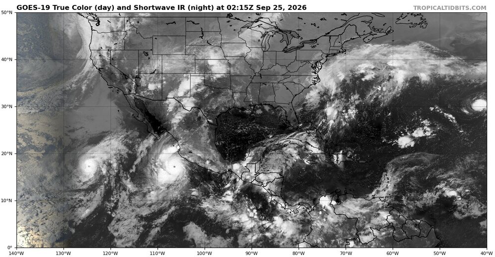
If you swing your eyes. You can the eye form
-
It’s gonna ride and a tuck, the west-based high pressure wraps in the upper cold air, while the weaker easterly Atlantic high pressure fuels it with low level moisture.
-
Take aways for the LI Waddler: 1. Anomalously (and broad) high-pressure system that is trying to sink South and West. 2. Some sort of Tropical burp that is intensifying. 3. The lack of an Atlantic Hurricane thus far. 4. The chance of said high pressure system splitting. 5. One of the strongest El Niños (if not the strongest) on record. 6. SST near or record levels. 6.1 Gas getting close to its record levels (for the generators) 7. Full-moon. This thing will wreck havoc, 12z runs were the 3-day burp that happens.
-
Mother Nature has a sense of humor, and I’m pretty sure she is trying to tell a joke to Humanity.
-
It’s picking-up on its convective nature to wrap-in. A LIS or RI special, while the Globals are tuned differently…. You take the middle road at this timeframe.
-
It’s picking-up on its convective nature to wrap-in. A LIS or RI special, while the Globals are tuned differently…. You take the middle road at this timeframe.
-
Do we trust the NAM this far out?
-
If that high-pressure splits at the right time, it will “ dual-carb” the low with cold-ish water vapor off the North Atlantic, whilst also not allowing a clear “path of least resistance.” Hence the Fujiwara effect all models have.
-
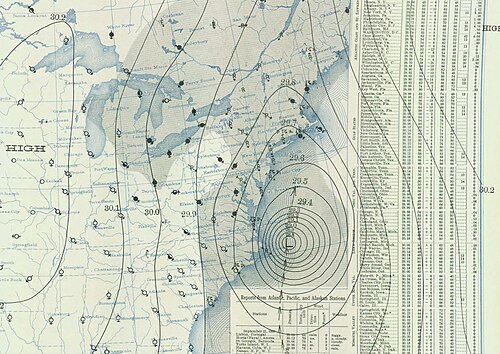
The only difference is that was a lot more tropical in nature , but the high to the north is more potent, ergo the pressure difference will be the same, high-pressure placement will be key to “meh” to something a lot more significant, over the next day. The area of the low pressure’s location makes me wonder.
-
This is going to be the Long Island Waddle, lol.
-
The trend is not our friend, if you don’t want bad weather.
-
You can see the skew-Ts for yourself, this things is getting funneled in cold air from aloft, as its surface low is feeding off a near-record or (record?) warm Atlantic.