

Cambria County Wx
-
Posts
44 -
Joined
-
Last visited
Content Type
Profiles
Blogs
Forums
American Weather
Media Demo
Store
Gallery
Posts posted by Cambria County Wx
-
-
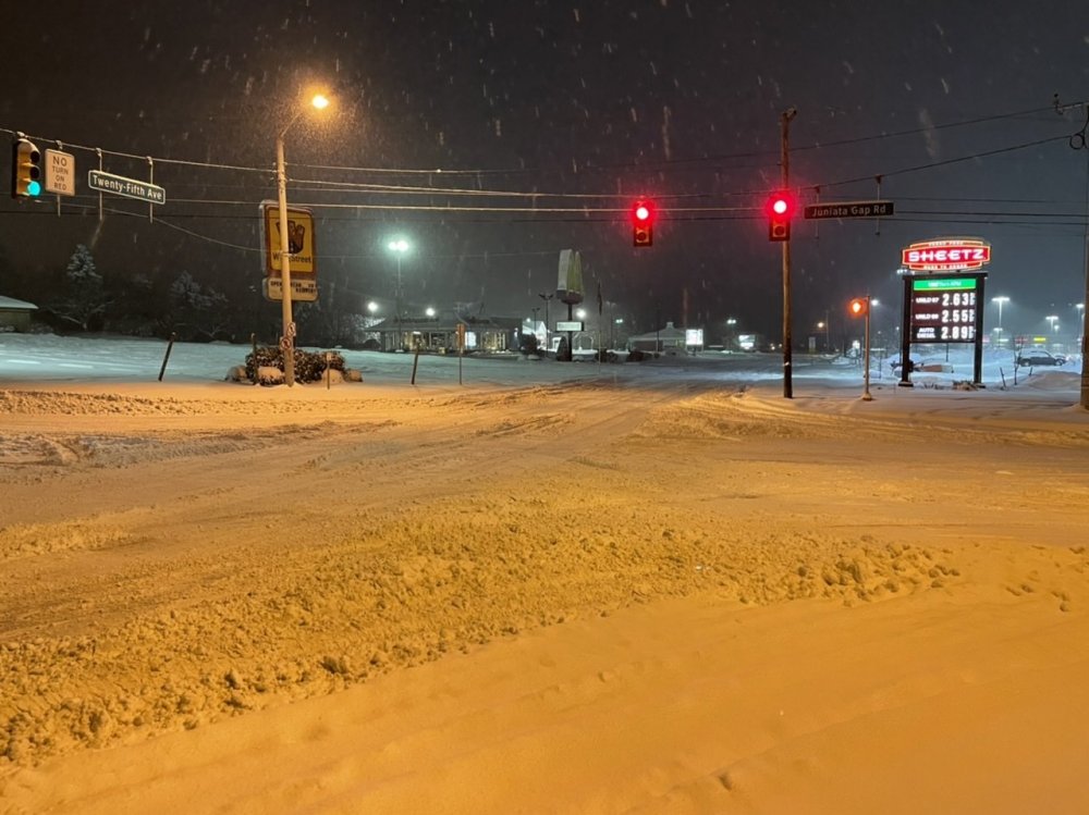
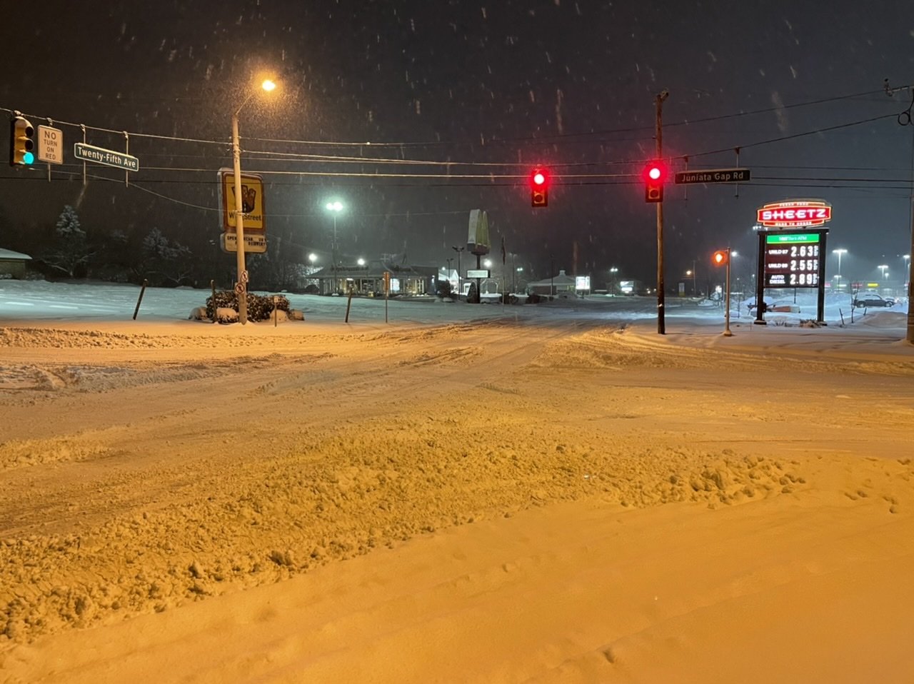
Steady light snow continues, dusting on the car.
-
Snow has started. 27 degrees
-
17 minutes ago, MAG5035 said:
I Jebwalked on down to Sheetz just a bit ago. Prob gonna take a good part of the morning to get roads straightened up after the snow stops.

You live over by Penn State Altoona....I went to school there for 2 years.
-
2 minutes ago, 2001kx said:
Congrats..What an awesome storm here (sorry for the ones mixing)
Yeah would have been nice if everyone would have been all snow.
-
2 minutes ago, 2001kx said:
15.5" as of 10:25
2.5" in last hour.
.thumb.jpg.95f1fd3292541e6eaba132cc66cce9f7.jpg)
Very nice! I just measured 12 inches. Struggled to get the door open. lol
-
Looks like dry slot coming up 219, then batch over near Pittsburgh should eventually swing through.
-
5 minutes ago, MAG5035 said:
Next couple hours are crucial but my chances for getting that high are slipping away the longer that band stays arced to my NW and north. It seems to be setting up over 2001kx over to just NW of IPT. @2001kx has to be getting crushed. This is the band that's going to see the excessive totals and it's setting more NW than any guidance had it earlier today.
Up to 8" with moderate rates. Snowing decent but I probably lost my outside chance at 20".
Just measured 11 inches. The end of the band is parked over here
-
-
2 minutes ago, 2001kx said:
PAZ017-024-033-170130-
Somerset PA-Clearfield PA-Cambria PA-
729 PM EST Wed Dec 16 2020

...A BAND OF HEAVY SNOW WILL AFFECT SOMERSET...CLEARFIELD...AND
CAMBRIA COUNTIES...

HAZARDS...A slow-moving band of heavy snow which can rapidly reduce
visibility to near zero. The snow intensity is extremely high and
thunder has occurring close to Johnstown.

LOCATION AND MOVEMENT...At 726 PM EST, a band of heavy snow was
along a line extending from near S.B. Elliot State Park to Prince
Gallitzin State Park to near New Centerville, moving east at 15 MPH.
I had thunder in that band. It's really impressive!
-
This band means business. Visibility is extremely low. Puking snow.
-
Thundersnow!!!!
-
 1
1
-
-
10 minutes ago, MAG5035 said:
7.0" Moderate snow.
That band associated with the thundersnow over Mt Davis (Somerset County) is lurking. I did see the GLM flash product on the COD satellite page pick up on about two or three strikes back about an hour ago. The extra instability likely aided by the SE flow over the one ridge line in that region.
It just arrived here. Snowing the hardest its snowed all day. Big flakes falling.
-
Measured close to 6 inches here. Waiting for the megaband to move in...hoping for thundersnow.
-
2 minutes ago, canderson said:
Tom Russell (CBS21) says dry air is gonna hurt everyone in the LSV.
Dry slot hasn't really advanced north of the Turnpike, going to be a close for you guys.
-
A very nice band moving up towards JST-AOO corridor from Brush Valley to Seven Springs.
-
1 minute ago, MAG5035 said:
Yea we might have some lower rates or at least more varying rates during about the 6pm hour or so. The stuff building on Pittsburgh radar should pivot over and I think the real height of this thing could be roughly 0-3z (7-10pm) with the max rates of the storm.
Agree really hoping for a foot. Haven't had a foot here since Feb 9/10 2010 storm. Really some impressive bands heading up towards the UNV area now.
-
For those in the JST-AOO-UNV corridor, really nice band out by Pittsburgh , watching the dry slot down by Meyersdale(Somerset County). That band looks to be slowly moving east towards the region.
-
Moderate to Heavy Snow in Northern Cambria. 4 inches so far.

.jpg.bba10c9e7e6e843cf58480ee48fcc323.jpg)
.jpg.b4b61615bc4c6f38e07983bf0f77592a.jpg)
Central PA - Winter 2020/2021 Part 2
in Upstate New York/Pennsylvania
Posted
Same here. Really small, fine flakes.