Joseph Torre
-
Posts
17 -
Joined
-
Last visited
Content Type
Profiles
Blogs
Forums
American Weather
Media Demo
Store
Gallery
Posts posted by Joseph Torre
-
-
5 minutes ago, Prospero said:
The spaghetti plots are inching westward.
http://flhurricane.com/modelanimator.php?storm=26&year=2020&title=26
Honestly, it's better that it keeps inching westward. If it hits areas recovering from Laura, there will be less damage, due to all the damage that is still left over from Laura. Hitting Lafayette or eastward would be another billion dollar disaster
-
7 hours ago, ldub23 said:
Exactly. I believe we may make it through the whole alphabet with these storms, but not exactly hyper active with mainly homegrown storms. MDR is too dry and I think that's what is stopping this from producing 2017 style storms
-
3 minutes ago, yoda said:
TS at 11
Not surprised. Main impacts will be heavy rain and little wind from this system. Will probably make landfall tomorrow afternoon in MS as a weak tropical storm
-
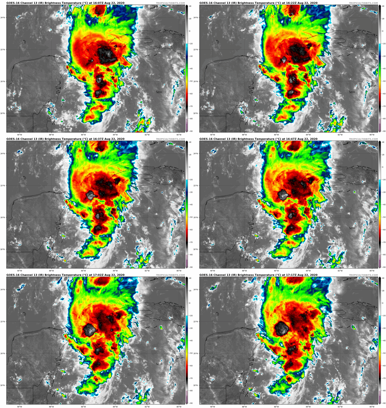
Marco is pretty much going to be a non issue for the Gulf of Mexico at this point. Shear, which was well forecasted, is tearing it to pieces, and it's beginning to decouple. All the signs were pointing towards that, yet NHC went ahead with a hurricane landfalling along LA coast and still has hurricane warnings in effect, when at this point, tropical storm force gusts will be the max
-
 1
1
-
 1
1
-
-
1 minute ago, vortex95 said:
If Macro is hurricane now, it is still not that impressive on satellite. Minimal banding and transient convective blow-ups. It is also elongated N-S. 12z SHIPS output shows significant shear by 18 hr with RH dropping below 60%. As mentioned in previous posts, it is likely going to get torn apart as it moves further N esp. due to its small size.
http://hurricanes.ral.ucar.edu/realtime/plots/northatlantic/2020/al142020/stext/20082212AL1420_ships.txt
Yep. Marco is about to meet his demise from the wind shear. It might peak at hurricane strength before shear tears it apart and then it has to start all over again.
-
 2
2
-
-
2 minutes ago, WxWatcher007 said:
Still has a 24 hour window per NHC before things become less favorable.
Considering how small Marco is, the shear will tear him to pieces. I would be surprised if it regains hurricane strength, if it even makes it to hurricane strength tonight.
-
7 minutes ago, Tallis Rockwell said:
Why does NHC think Marco is going to strength further with the shear?
Data from an Air Force Reserve Hurricane Hunter aircraft indicate
that maximum sustained winds have increased to near 50 mph (85 km/h)
with higher gusts.  Additional strengthening is forecast during the
next couple of days as the system approaches the Yucatan peninsula,
and Marco could be near hurricane strength when it moves over the
central Gulf of Mexico Sunday night and early Monday.
Is the shear going to move away from the storm? I was under that impression.
The shear won't move away, and Marco's small size makes it more susceptible to the negative impacts of shear, so its quite surprising they think it will continue to strengthen
-
4 minutes ago, TradeWinds said:
Marco reminds me of Gordon back in 2018. Gordon hit a favorable spot off coast of W Florida. Everyone said, "look its forming into a hurricane and will get even stronger before it makes landfall in AL." Tiny storms spin down as quick as they spin up, and GOM shear hit Gordon and it only made landfall as a TS in AL. High shear awaits Marco, and it will be torn to pieces. As far as Laura is concerned, it will be torn apart over Hispaniola and Cuba, and will have to almost completely regenerate as hits the GOM. Fujiwara probably won't even occur, and one of these weak storms will be consumed by one of the stronger storms.


Major Hurricane Delta
in Tropical Headquarters
Posted
Window of time is rapidly running out for more Delta strengthening. Shear will weaken it to high end category 1 in my opinion when it makes landfall tomorrow afternoon