(Another late post from a distant casual observer)
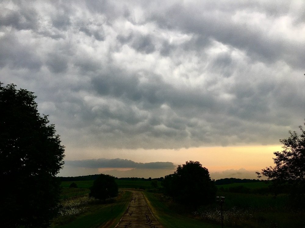
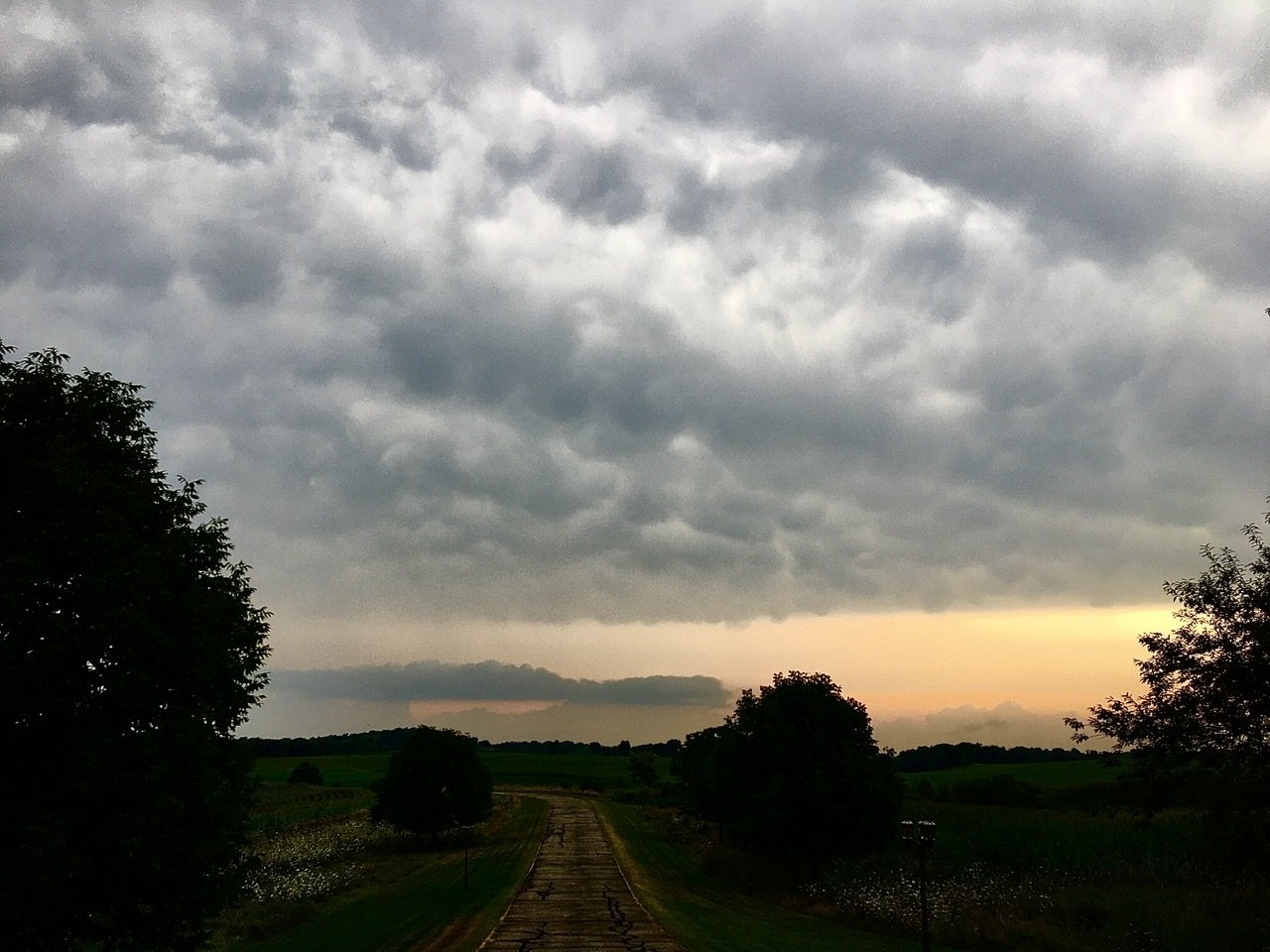
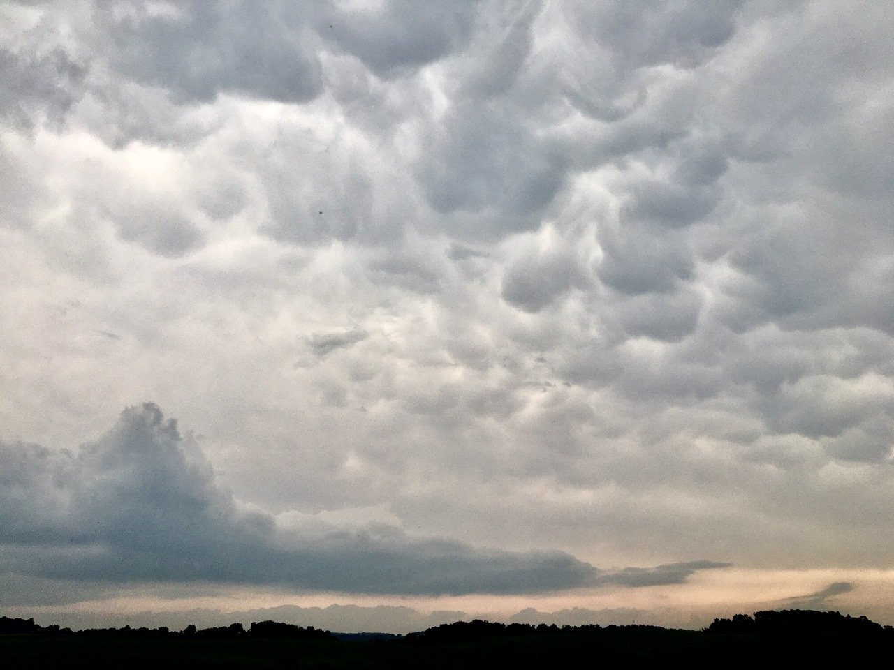
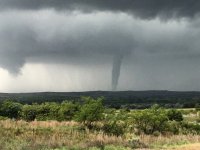
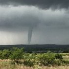
So Monday around 1pm, I went to my fav storm watching spot in far NW Dane Co, WI (1,100 ft elev). Views to the east, south and west seemed to be constantly filled with low clouds. And it was eerily quiet and hot and humid. Then on radar I could see (and hear) that storms were beginning to scrape by, just to my south. Although I could see close lightning strikes, the thunder had that muffled, constant, highly elevated quality I associate with hail and other severe weather. Only I’d never heard that kind of thunder from more than one area in the sky like that before. Then these layers of turbulent clouds started rolling out to the north. And
I don’t remember ever seeing layer upon layer like that before either. It was definitely crazy from a distance so I can’t even imagine what it was like up close! So continued thoughts with those impacted!!!


 definitionofmadness changed their profile photo