ChasingFlakes
-
Posts
549 -
Joined
-
Last visited
Content Type
Profiles
Blogs
Forums
American Weather
Media Demo
Store
Gallery
Posts posted by ChasingFlakes
-
-
1.0 inch as of 4:30am, snow has cleared out for now. May be a bit higher, my snow board isnt in the best location right now.
-
.5inch as of 11:45pm. Will update around 4:30am before I leave forwork, if we dont cancel. 28F DP26
-
Light snow now in Phoenixville. 31F DP 19F
-
Virga still in Phoenixville at 9:40. 31F DP 18F.
-
Virga in Phoenixville as of 9:15pm. Weather underground has me at 7" storm total including sleet and around a half inch of rain. We'll see if that plays out.
Edit: 9:30 still virga.
Also, does WU use proprietary models for forecasts or do they adhere to a specific model suite? Their website makes it seem proprietary with their comparisons to the NWS.
-
21 hours ago, penndotguy said:
That must be awesome out there, Carson Pass, California
I think we all need a field trip out west after this winter. The Northern Oregon volcanoes (Mt Hood/Mt Jefferson) are looking at 90+ inches of snow in the next 240hrs according to the GFS.
-
Are models such as the NAM and GFS-FV3 overinflating snow totals for our area due to modeling the sleet as 10:1 as opposed to something more realistic like 3:1? Is the GFS doing the same, as in my mind that is showing a much more realistic forecast in regards to snow totals.
-
 1
1
-
-
18 minutes ago, Newman said:
I'm not sure if this includes the 1st wave, but either way that's 6-8" for much of the NW burbs.
99% this includes first wave. Valid 2/10 at 5am through the 12th at 7pm. You can also tell because it includes lake effect over the tug hill/Syracuse area which is occurring right now. Bands are stretching out over the northern catskills and towns due north. (Blackhead/Windham Range.)
-
25 minutes ago, CoastalWx said:
You get 3” instead of 2”
What I tell my girl after I take viagra.
-
 2
2
-
-
8 minutes ago, RedSky said:
Starting to believe this is that "one storm" even if it's only a SECS and not all that big
We still have ~5 weeks of potential winter weather, I'll keep my fingers crossed. Plus, dont most stronger coastal system occur in Feb/March?
-
1
-
-
3 minutes ago, Newman said:
After a 6 to 8 hour period of decent snows, the Lehigh Valley sees more than 6 hours of icing or sleet on the Euro.
Is that the same for Northern Jersey or less icing because they're coastal? I do a lot of work up by Allentown and Northern Jersey like Perth Amboy, etc.. I'm thinking work will be called off if there's that much icing.
-
If it stays how it is, I'm thinking I'll end up with 3" from sun night to Tuesday am before changeover to rain/sleet. Knowing how this winter has gone it will be more like 1-2" though. Hoping things trend colder, I was hoping NE PA or the Catskills stay all snow.
-
1 hour ago, Redmorninglight said:
I’m chasing snow. Thinking Vermont next weekend and Colorado week after. May not do Vermont if a cutter next weekend. Don’t need to to drive 7 hours to see rain. Last school ski trip to Poconos Sunday. Even up there, not much natural snow this year.
If you go to VT go north. Mt Mansfield did great this January, they nearly hit 100" on the stake but the rains have probably lessened the pack over the past few days. Colorado looks real nice a week or two from now.
-
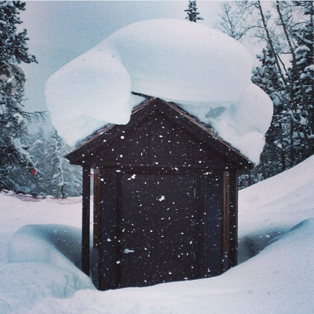
4 hours ago, J.Spin said:
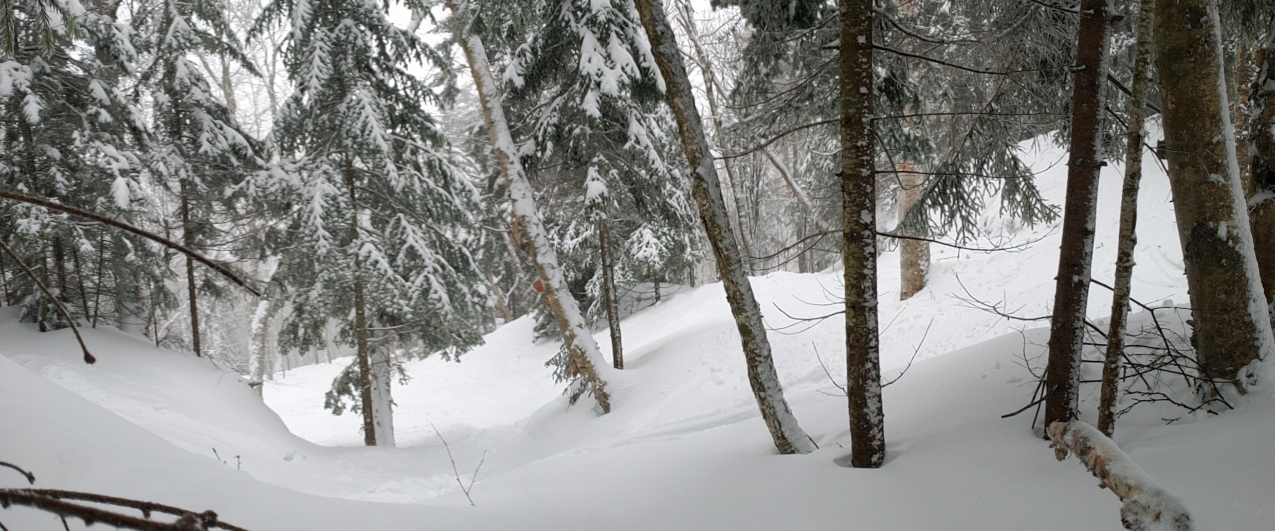
I’ll never forget seeing the stack of snow atop the trail map on my very first trip to the area last March though – as a skier, you see powder sitting up stacked like that without wind and it’s a very good sign.

Thanks again for taking the time to provide all that awesome information, I'll be sure to save this post to reference when I am back up there. I love that Vermont is finally embracing the backcountry scene, nothing beats the variety of terrain and foliage found in the green mountains.
That trail map picture reminds me of one I took in Colorado in 2013. Although the one i took kind of looks like Conan O'Briens hair.

-
2
-
-
9 minutes ago, Sugarloaf1989 said:
Stayed mostly snow with that one also. Got 4.5" of snow and 1.5" if sleet. No ZR.
Mount snow was at 15" and around 8am on the 20th it switched to sleet and they got about two inches of sleet. Magic mountain was similar with a 15-19" before the sleet which was not very pronounced on some aspects.
-
06z keeps your unicorn dream well alive with a strong Miller b off the coast of Jersey.
-
1 hour ago, SnoSki14 said:
Parts of the Mid-Atlantic could pick up a few inches with the 1st wave as per the GGEM/Nam.
Crazy to think those places are doing much better than a good chunk of this area.
We've gotten a lot of 1-2" and then over to rain. As of the 18z gfs I was looking at 3inches and then rain in SEPA Tues night. And 3-5inches for friday/sat. Now with the 00z gfs I'm looking at 1 inches for both of those and a lot of rain. I'm also a little too far north for the sunday night system. The 00z nam has that dropping up to 5 inches on Cape may although that seems a little aggressive.
-
1 minute ago, RedSky said:
This entire winter is garbage
This is why we have cars and planes.. and trains, which I didn't buy a ticket for.
-
This 00z GFS run is giving me deja vu of last night. Looks like the inland low over the great lakes is stronger this run. Not sure what factors are influencing that, but that appears to lessen our timeframe of snow prior to the mix/rain changeover. It's only rendered to hour 120 as of now.
-
2 hours ago, powderfreak said:
The Mansfield snowfall is very inconsistent and the collection method was not very good....but then again measuring snow above treeline on windswept rocks is a tough thing to do. The snow depth stake is in a different location at a lower elevation below the treeline.
BTV has a list on their website of monthly snowfall since 1880 but I don't have the link readily available.
Any 400"+ seasons you know of offhand?
-
40 minutes ago, powderfreak said:
Same thing up here... BTV isn't getting 150" of snow with the mountains at 400+ so the pace will slow down. Gotta play the odds.
Are there any resources for data on annual snowfall at Mt. Mansfield and the Burlington area? I was able to find this.
-
15 minutes ago, The Iceman said:
WOW 3rd straight GEFS run where a major block is showing up in the long range. I don;t think this one is noise. I'm on the 2nd half feb snow train.

How much are tickets? I was buying them all winter.
To be fair, compared to last evening the models have improved drastically in midrange and LR.
-
21 minutes ago, Ralph Wiggum said:
Hug the icon too for Sunday night.
I'll take nothing Sunday for something midweek.
-
14 hours ago, ice1972 said:
All you gotta do is increase that to 18” and you can capture all of SNE and into CNE....what a garbage winter.....
I'm close to 18, I think I'm around 14-16, in southeast PA. Dont worry, mostly everything has gone to our south as well. We've gotten 1 or 2 inches about 5 times after the November event. DC has more snow than Philly by 6+ inches.
Parts 1 and 2 Obs - 2/10-2/12 Winter Storm
in Philadelphia Region
Posted
Snowing again at 29 and the turnpike in malvern. About to get on the turnpike east, expecting it to stop shortly as we drive away ENE.