
cold air aloft
-
Posts
110 -
Joined
-
Last visited
Content Type
Profiles
Blogs
Forums
American Weather
Media Demo
Store
Gallery
Posts posted by cold air aloft
-
-
17 minutes ago, westmc9th said:
So, what about highs in the mid to upper 50s is supposed to excite me about our February snow prospects below 3500'?
The first half of February was always forecasted to be above average temperature wise for basically the entire eastern US. For the mountains (and SE in general) the second half of February and even in to March show promising trends on the models and is consistent with El Nino climatology.
-
 1
1
-
 1
1
-
-
My daughters are reporting heavy snow at our place in Maggie Valley, we are right at 3,000 feet.
I'm at work in Canton, still a cold rain here.
-
3
-
-
21 minutes ago, wncsnow said:
NAM and hi res is even more north. Even Knoxville is on the edge
.thumb.png.25734937cc024425ef7848262995132a.png)
The snow on the ground in Alabama puts than run in serious question.
-
2
-
-
The upcoming pattern is what we want. Several shots of cold air coming in as well as energy available. This isn't the cold, dry pattern we saw last December. Obviously details will be determined, but a few weeks ago many were calling for a torch in mid January. I'm optimistic that we are at least in the game.
-
2
-
-
The upcoming pattern looks great. Plenty of snow and cold looks likely over the next couple of weeks.
-
1
-
 1
1
-
 1
1
-
-
26 minutes ago, wncsnow said:
This weather sucks in mid March.
Hey, I would take this weather in July if we could get it.
-
5
-
-
I believe the mountains are in pretty good shape actually. Having lived here as long as I have, I can't count how many times we've seen models struggle in the 24-36 hour time frame before an event only to swing back to where they were previously. The dynamics are still in place IMO. Heavy precipitation should force just enough cooling for most of us at 2,000 feet elevation and up. We all know any event can go sideways, but I still think many here will be please on Sunday.
-
4
-
-
51 minutes ago, Met1985 said:
Yeah Haywood got hit pretty good. I know Duke energy and Haywood EMC are working several calls for power being out. I have to admit I was completely wrong on this one.
It's like we were all talking about yesterday, it's hard to go against what you've experienced over the years. The occasional surprise is part of the fun of being a weather geek.
-
1
-
-
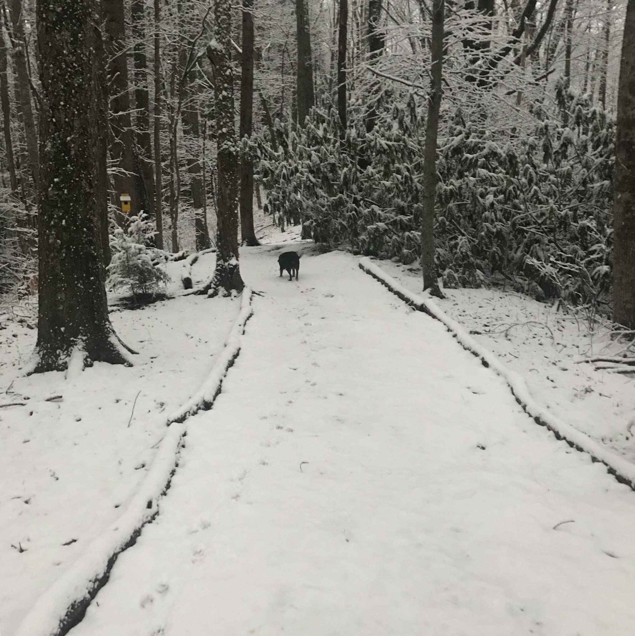
The dogs and I just took a walk in the woods to check things out. A beautiful glaze of ice on the trees and rhododendrons and crunchy sleet/snow/ice on the ground. Temperature currently at 31 here.
What a wild night. Snow/sleet/rain/thunder, something for everyone! Fortunately no damage here. Good job by the models on this rare ice event in central Haywood County.
-
1
-
-
2 minutes ago, Maggie Ace said:
55 here at the house under sunshine. Skiers are checking out early because of this ice threat. It's either going to be an epic bust or a forecasting coup. One has to wonder if the events in Texas and along the Northern Gul States influenced things a tad?
In their 3 PM update GSP is still sticking to their guns for us getting ice. They are the pros but it's hard to ditch over 40 years of life experience in these parts.
-
2
-
-
9 minutes ago, Met1985 said:
Nice to see you posting also. Was wondering were you have been.
Thank You! Life has been kind of hectic the last year or so and limited my social media participation, but glad to be able to get back here. I always enjoy the level headed discussions and insights found here in the mountain forum.
-
3
-
-
26 minutes ago, Met1985 said:
This is really how I feel and this winter has been textbook with showing us CAD does not work here.
I agree, like you and WxKnurd, I have a hard time seeing believing much (if any) ZR occurs in the central to western zones of Haywood County based on all my years of living here. I can't tell you how many times I have left work in Canton with temps in the 20's with ice to get home to Maggie Valley and find temps in the mid 40's with just rain. Once you get west of Clyde, the WAA usually erodes the CAD in these type of set ups.
And yet....... I have to say I have rarely seen pretty good model consensus like we have now showing some sort of ice event for the majority of Haywood County. GSP seems fairly bullish as well. It'll be interesting to see how the event plays out.
-
2
-
-
Just drove from Canton to Maggie Valley. Started picking up light snow in Clyde which got heavier going west. As Maggie Ace said, moderate snow in Maggie Valley and really starting to accumulate.
-
5
-
-
Hopefully the warm nose stays more suppressed than forecasted because the radar returns to the southwest look excellent right now.
-
17 minutes ago, Blue_Ridge_Escarpment said:
As GSP just expands the watch and ups totals.
Morristown has also put up a WSW calling for 3-6 inches mountains and 1-3 valley locations. In situations like this, I think it's important to look at what the mets are seeing region wide.
Yes, the models today have been concerning, but models in general right now seem to be a hot mess with wild run to run fluctuations short and long term. I'm still optimistic for this system and I think many in WNC will be happy by Sunday morning.
-
3
-
-
7 minutes ago, Met1985 said:
Man I was just a wee laddie back then but that thing was a beast coming through here.
I was living in the Jonathan Creek area of Haywood County at the time, Utah Mt., right at the 3'500 ft. level. The roar of the wind and the sounds of trees banging against each other and many snapping is something I will never forget. That was one wild ride!
-
39 minutes ago, Rainforrest said:
Tropical storm watches just posted.
Those of us who were around these parts in 1995 remember what high elevation tree damage tree damage Opal did. I sure hope we don't see a repeat of that but be safe out there y'all.
-
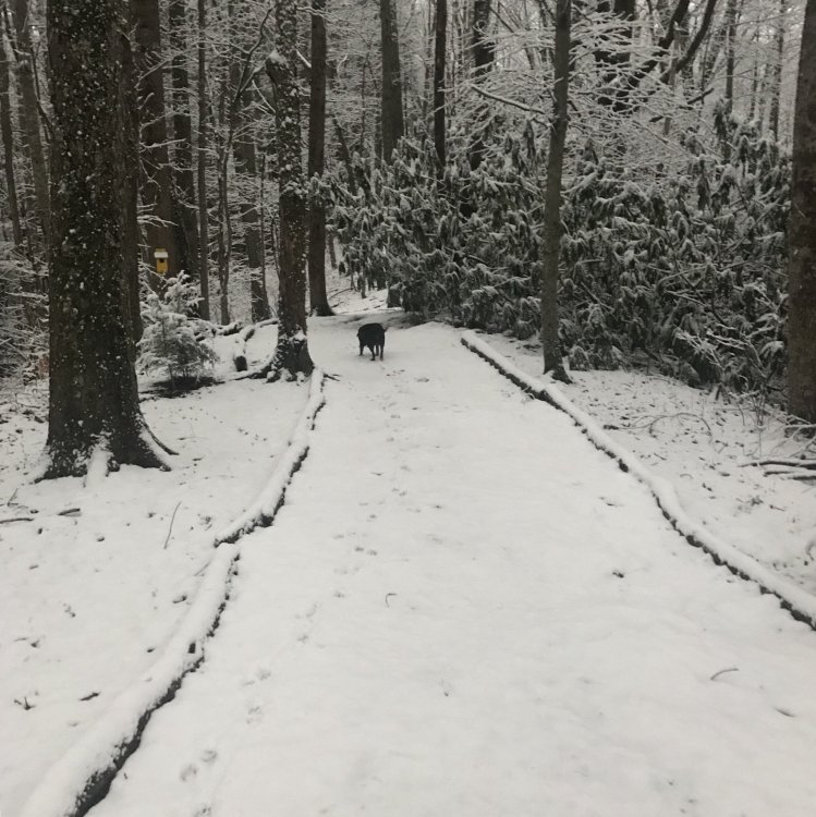
Got home from work to find a couple of inches in the ridge on my property when I walked the dogs.. I know many of us didn’t get as much as we had hoped, but it snowed today. For this Winter, that’s ok.
-
7
-
-
I'm at work in Canton and rates have finally increased enough to start sticking. Even the roads are starting to slush a little.
-
Just now, Als23 said:
Maybe I need a new thermometer. But my back deck never gets sun in winter and it's just wet. Starting to lay on the trees and cars tho.
The micro climates in our area is interesting. Just a mile or two in distance can make a huge difference in precip and temperatures.
-
Just now, Als23 said:
I've only dropped 3 degrees since 7 am. I'm waiting
That's interesting. All of the temperature stations I've seen in Maggie are between 28-32.
-
Just now, Rainforrest said:
Winter storm warning maybe?
They are saying the WWA is sufficient for now.
-
Just now, strongwxnc said:
What’s your location
.Maggie Valley
-
GSP just released a lengthy updated discussion which is worth reading. For what it's worth they've increased the forecasted snow amount imby from 2-4 inches to 3-5.
Basically, as has been noted, the heaviest precipitation hasn't arrived yet.
-
2
-
.png.963c07d49275a8a5572aa02217bcba49.png)
2023-2024 Fall/Winter Mountain Thread
in Southeastern States
Posted
This event pretty much sums up our Winter. So close and yet so far.