
MazooWeather
-
Posts
3,877 -
Joined
-
Last visited
Content Type
Profiles
Blogs
Forums
American Weather
Media Demo
Store
Gallery
Posts posted by MazooWeather
-
-
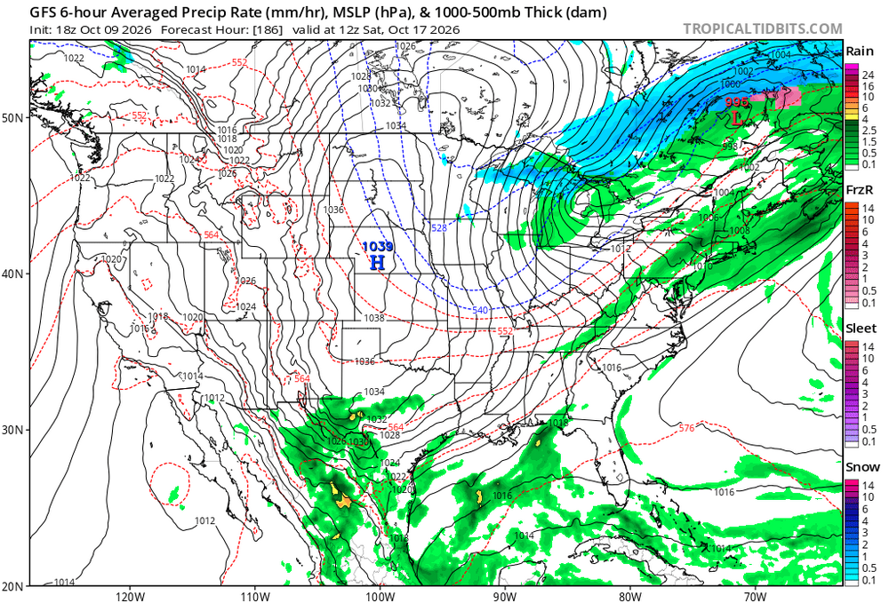
I wanna believe in these early flakes
-
 1
1
-
 1
1
-
-
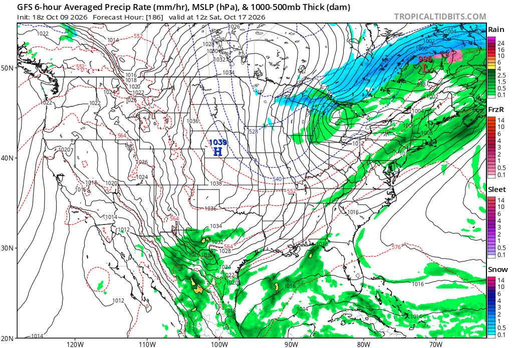
Guess when your location will get its first measured snowfall, whoever is closest wins a 20$ Doordash or other restaurant card
My guess: October 30th
-
@Stebois getting rocked tonight
-
On the bright side we might get some epic LES this winter if the lakes stay warm during cold snaps
-
 3
3
-
 1
1
-
-
Could have a couple of naders tomorrow if any supercells form
-
1
-
 1
1
-
-

Here we go again
-
1
-
-
Illinois is gonna manifest 11/17/13 2.0 with the kinda year we've been having
-
1
-
-
Lol Max Velocity crapped on NWS Baltimore for issuing tornado warnings along the line during the derecho as unnecessary and it turns out the line did produce tornadoes in that area. Gee it's almost like nws people know what they're doing.
-
3
-
-
18Z HRRR would keep the Chicago to Detroit corridor under constant backbuilding severe storms for like 8 hours straight, could be a fun night tomorrow
-
2
-
 1
1
-
-
2% tornado risks in our area this year are the scariest things known to man, this is like the 4th time its happened.
-
Tornado on the ground near Youngstown right now
-
The amount of rain, thunder and cloud to ground lightning earlier tonight was absolutely wonderful
-
Storm that popped up overhead went from nothing to producing 80 mph wind gusts immediately
-
2
-
-
Tne SPC upgraded Oklahoma for wind to enhanced at 01Z but not where there's an ongoing tornado outbreak lol
-
2
-
-
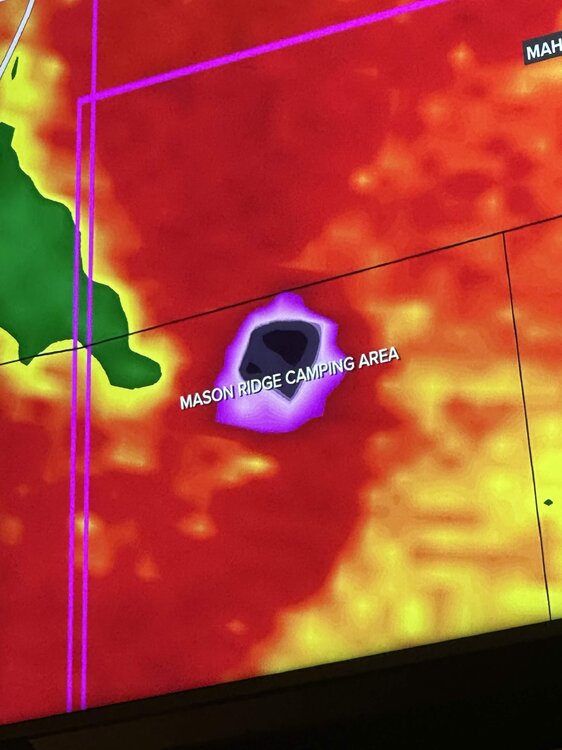
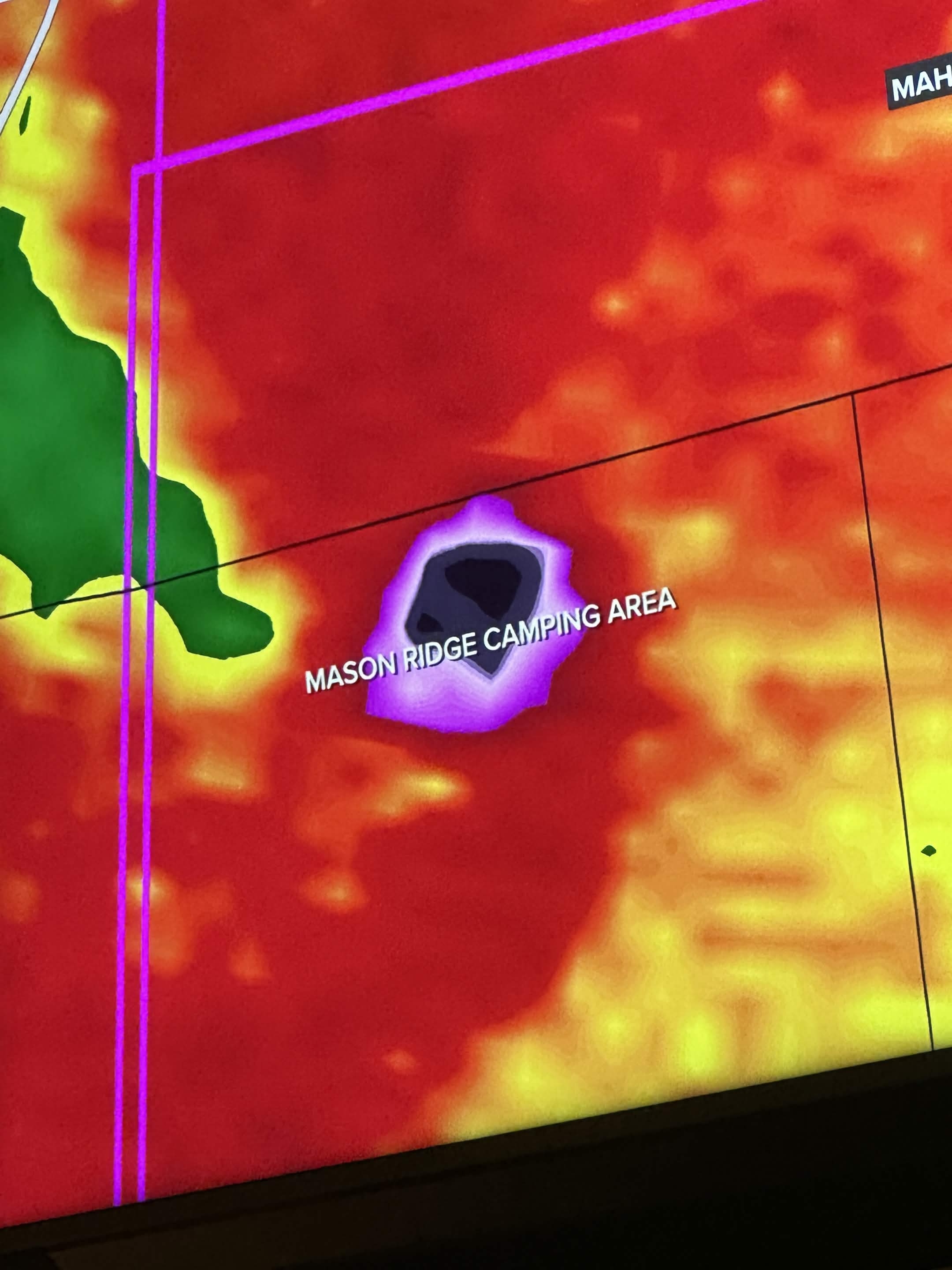
Looks like it direct hit a campground
-
 3
3
-
-
Spc discussion on it says the environment out ahead of it has fully recovered, this might be the storm of the event, definitely a violent tornado.
-
Monster debris ball and cc drop near Gosport IN
-
The fact we've managed to get a couple of big ones in what should have been a completely rained out event just shows how this event could've been something historical if things went a little differently
-
3
-
2
-
-
2 minutes ago, Powerball said:
Even the heavy rainfall that was projected is busting for the MI crew in the most LOLtastic fashion
All-around tragic (but, in a good way)...
Yeah, the blob of rain is only really hitting the first row of counties and is nowhere near as heavy as predicted lol
-
Slight risk introduced for today for Michiana, 5% TOR
-
"A few strong tornadoes" 100% verified yesterday
-
holy shit
-
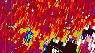
Possible tornado moving onshore near Holland, MI
-
Gonna need a downstream watch soon, environment in Michigan the storms are gonna be entering is juiced
First Snowfall Guessing Game
in Lakes/Ohio Valley
Posted
I'll let anybody who bet on October revise lmao