
Jim Martin
-
Posts
2,469 -
Joined
-
Last visited
Content Type
Profiles
Blogs
Forums
American Weather
Media Demo
Store
Gallery
Posts posted by Jim Martin
-
-
Could the risk for severe weather tomorrow be extended a bit further north than previously forecast?
-

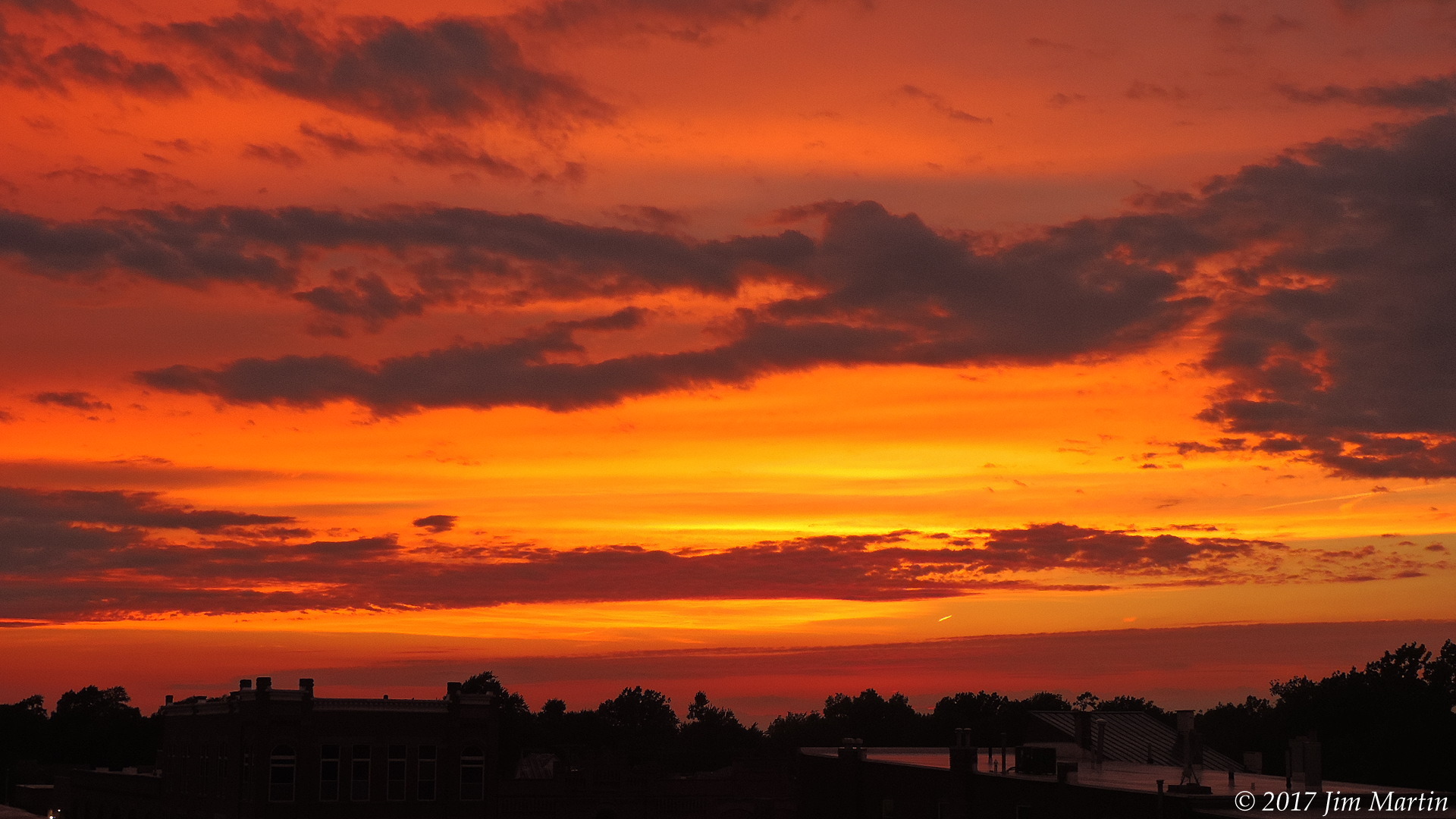
Sunset earlier this evening.
-
 3
3
-
-
-
-
-

View looking west from downtown Findlay nearing the lunch hour.
-
2
-
-
Ended up with 1.5" of wet snow yesterday afternoon, along with another 1.5" of fluffy snow overnight last night.
-
-
-
-
Low last night in Findlay was 5 above zero. Currently it is 40 in Findlay.
Low last night in Lima was 2 above zero. Currently it is 39 in Lima.
-
-
-
-
-
About one inch here in Findlay. Changing over to rain currently.
-
-
-
-
-
This looks to be more of a freezing rain/sleet setup for NW Ohio. That can be just as tricky. Some of you are whining because this is not a true snow storm setup. Ice can be just as challenging as snow.
-
6 minutes ago, StormChaser4Life said:
Looks like nam continues to cave to other models. Another step NW. It is a lot narrower with the snow and and has a very small corridor of significant snow with a medium sized area of 2-3in
Not from what I saw. It has colder air in #NWOhioWx and more of freezing rain/sleet setup.
-

From the NWS in Cleveland.
-
Starting to feel there will be accumulating snow Wednesday Night and Thursday in #NWOhioWx.


Apr. 6-8 Severe Risks
in Lakes/Ohio Valley
Posted