00z Model Suite beginning to trend towards an impact storm on Wednesday night
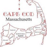
Could there be impacts from a nor'easter on Cape Cod on Wednesday night into Thursday? If there will be, it might be shortlived as snow impacts will be light if it occurs. Judging by the model trends tonight, I am growing more confident of an impact, even though less than an inch would be possible unless something large changes like the storm is at the benchmark. H5 has been trending towards a more amped up through the present with an Arctic jet shortwave on the backside of the longwave trough. If this phases we could get a big storm, but right now the Pacific jet shortwave that causes our nor'easter, is just too fast in the flow. Right now the energy is too stretched out now in the long wave trough, however, models are heading towards sharpening up this shortwave energy more and more each run and also going negative sooner more so over DC and not off the coast like yesterday's runs showed. This is a trend now with the 21z SREFs showing precip chances growing. This is a system that I will notify you of if anything changes in the next 24-48 hours.


0 Comments
Recommended Comments
There are no comments to display.
Create an account or sign in to comment
You need to be a member in order to leave a comment
Create an account
Sign up for a new account in our community. It's easy!
Register a new accountSign in
Already have an account? Sign in here.
Sign In Now