

UlsterCountySnowZ
-
Posts
10,148 -
Joined
-
Last visited
Content Type
Profiles
Blogs
Forums
American Weather
Media Demo
Store
Gallery
Posts posted by UlsterCountySnowZ
-
-
Had 3.8” then all melted lol
-
Tickling 80 to accumulating snowfall... moderate snow continues

-
 1
1
-
-
AN AREA OF MODERATE TO HEAVY SNOW WILL AFFECT LITCHFIELD...
BERKSHIRE...ULSTER...DUTCHESS...COLUMBIA...ALBANY...GREENE...
SOUTHEASTERN SCHOHARIE...RENSSELAER...SOUTHERN BENNINGTON AND
SOUTHERN WINDHAM COUNTIES...

At 345 PM EST, a large area of moderate to heavy snow was located
over much of eastern New York from around the Capital District
southward and western New England, including Interstates 90, 87, and
787. The snow is causing reduced visibility and snow covered roads.
Snowfall rates of one half to one inch per hour will result in
hazardous travel conditions.

THIS INCLUDES THE FOLLOWING HIGHWAYS...
 Interstate 90 between exits 8 and 1s, and between exits 8 and 6-5A.
 Interstate 87 between exits 1 and 2 , near exit 4, and between exits
2-4 and 4-5.
 Interstate 787 between exits 2 and 8-7.

Visibilities will drop quickly to less than a half mile in this area
of heavy snow. Conditions can deteriorate rapidly in winter weather
situations. Be prepared for snow or ice covered roads. Slow down and
allow extra time when traveling.
-
1 minute ago, snywx said:
Sleet here now.. Temp 33°
It was pretty fast... it’s really coming down good now, coating on everything, and starting to gather on street edges
-
Mix line is just to my south, almost in a straight line oriented

-
7 minutes ago, IrishRob17 said:
Did you flip recently? The latest mesonet photo near there is showing rain or maybe white rain but the shot is from 3pm. I'm wondering if we flip down here before its over.
I was sleet for a good hour.. flipped all snow now around 3
-
 1
1
-
-
Moderate snow here now
-
Easy to seemmix line on dual Pol

-
10 minutes ago, snywx said:
R/S line is cutting Sullivan/Ulster/Dutchess in half.
34° rain here
I’m snow here, some sleet mixed
-
Well boys..don’t wanna jinx it, but if your north and west you look to have a shot at Warning snow, Monroe/Middletown, western Orange and Sullivan, and ulster/duchess have a shot at 6-12 imo"
-
3
-
-
7-10am still solid snow, and by 10am nyc is snow

-
1 minute ago, rgwp96 said:
Great event my ass lol , 4-6 predicted to mod rain currently falling .
I’m curious where exactly the warmth is, 925 is cold enough, as is all other layers upwards...gotta be between there and 1000mb
-
We wrap at 1pm...great event, 24+ hours of snow to atleast some degree
-
Nam says we’re still snowing by 10am
-
Been dumping under this mini for a while, radar out west popping nicely too

-
question, i should probably know this, and im too lazy to research, i know the idea behind melting my snow for LE...but how much actual snow do i use? i mean if i have 6" and wide of a patch do i take to melt and measure?
-
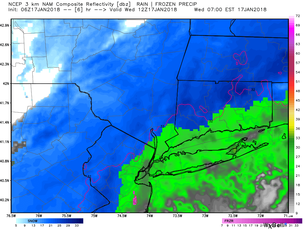
Nams a beaut up here
-
I also don’t buy a 995 basically on Long Island and barely any precip expansion.....
-
U can always hug the arw/ nmm mesos


-
1
-
-
Rgem is Hudson valley jackpot

-
2
-
-
10 minutes ago, IrishRob17 said:
There’s still a decent layer of ice on the ground here even with temps above freezing.
Same... busted my butt outside getting wood from the woodshed
-
HECS storm for us on euro Long range.. timeframe moves, but models insist we’re gettinf hammered before Jan 2

-
Mid sleet falling now... it’s comingndown good
-
Euro says we have a white Xmas still... pretty damn cold too, trended south, solid 3-5”
-
2
-


December 2018 General Discussion & Observations
in New York City Metro
Posted
Gotta say, despite being a ways out, Im happy with today’s trends, a slower more amplified overall solution allowing that northern stream SW to influence the trough, coupled with more progressive confluence, leads to some nice northward adjustments, the vertically stacked nature means we need more favorable Upper level wind otherwise we sheer our precip shield...a lot of time for this to creep up