

Kaner587
-
Posts
2,639 -
Joined
-
Last visited
Content Type
Profiles
Blogs
Forums
American Weather
Media Demo
Store
Gallery
Posts posted by Kaner587
-
-
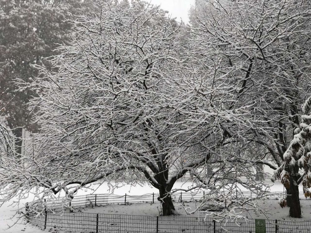
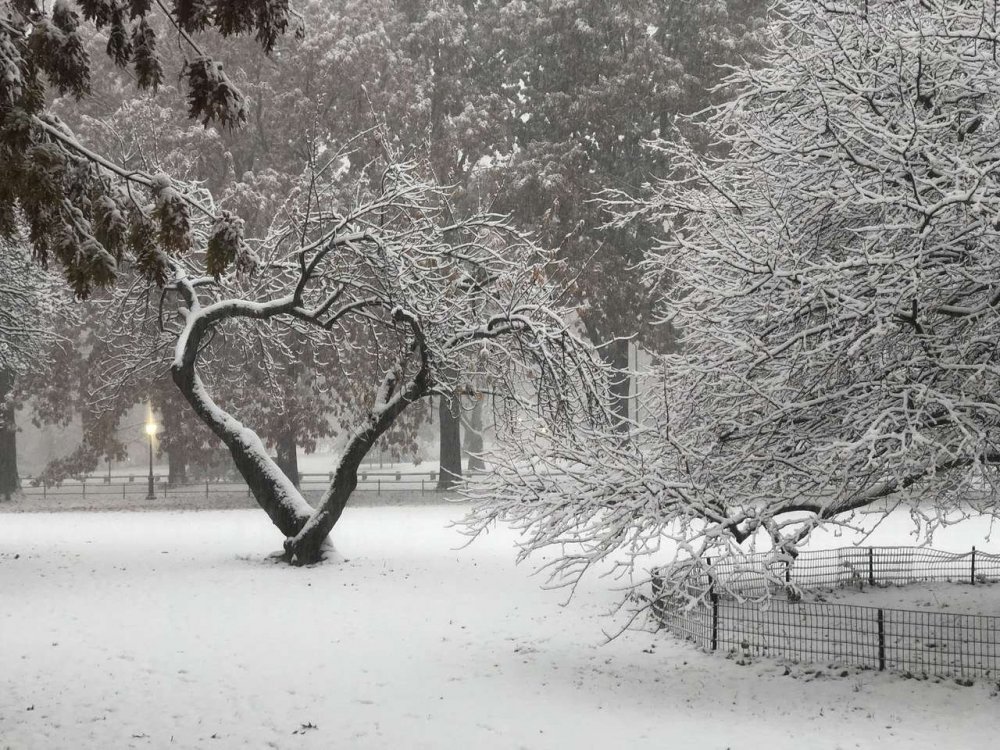
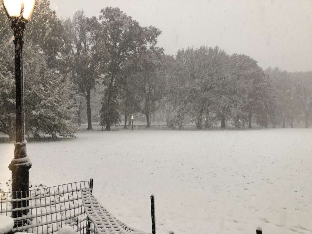
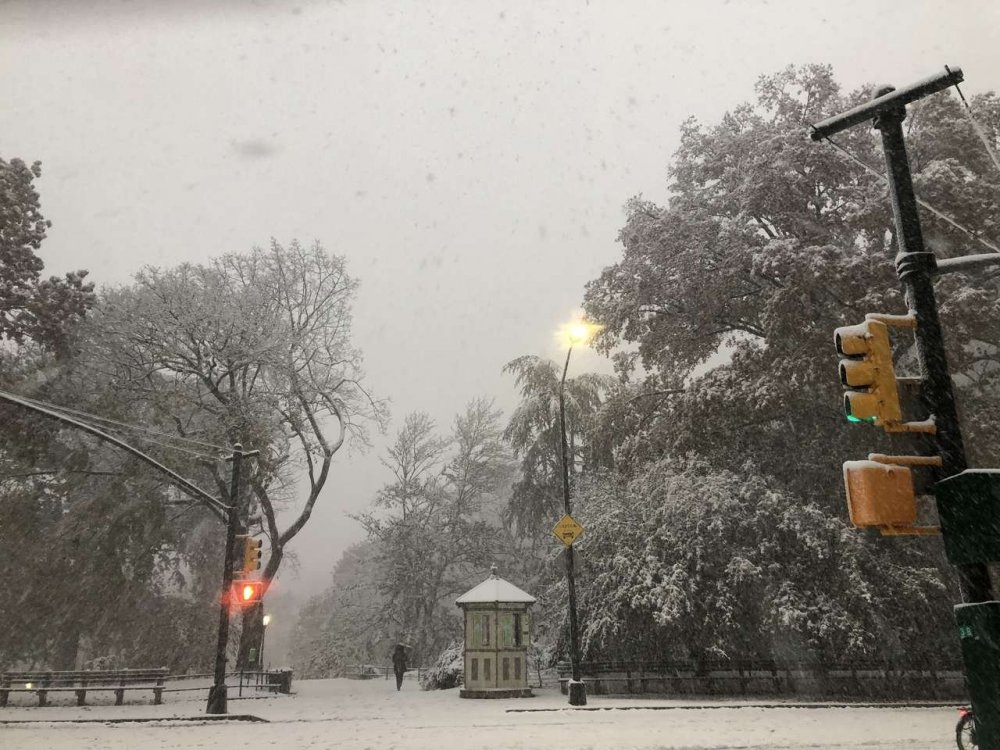
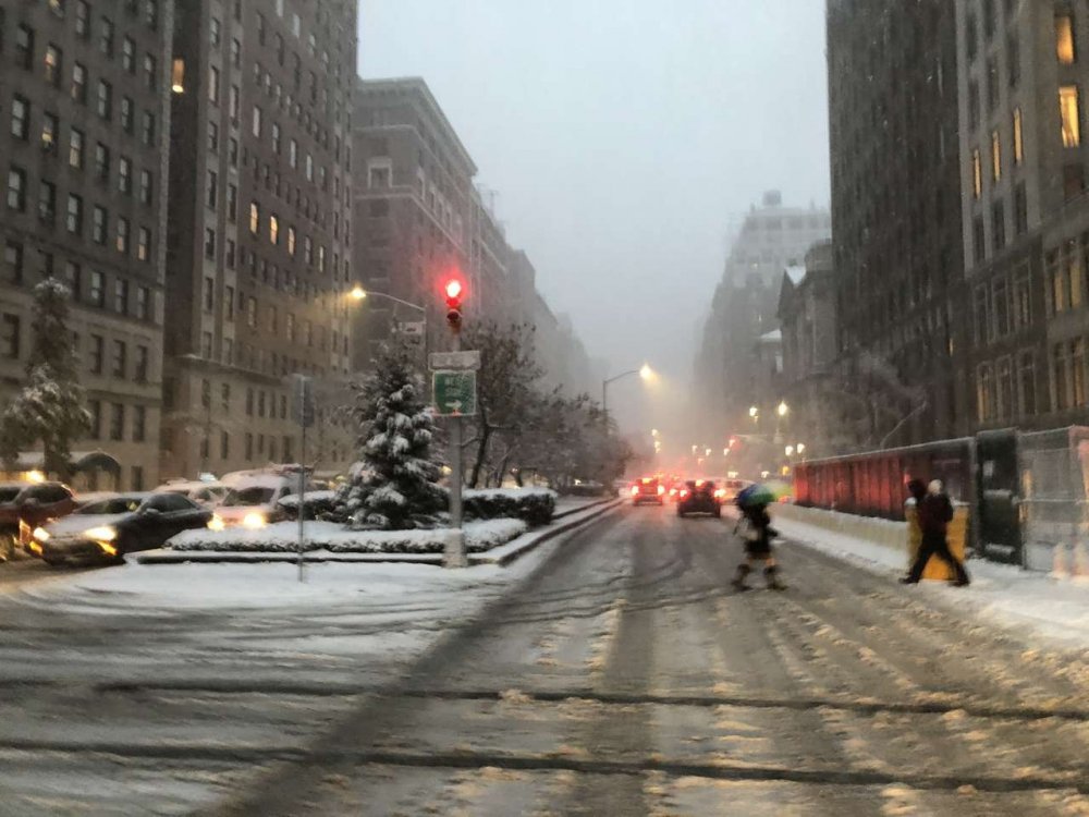
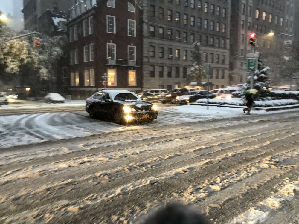
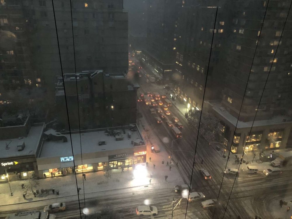
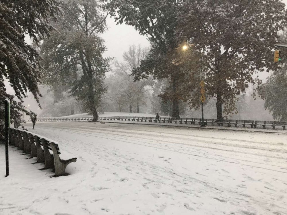
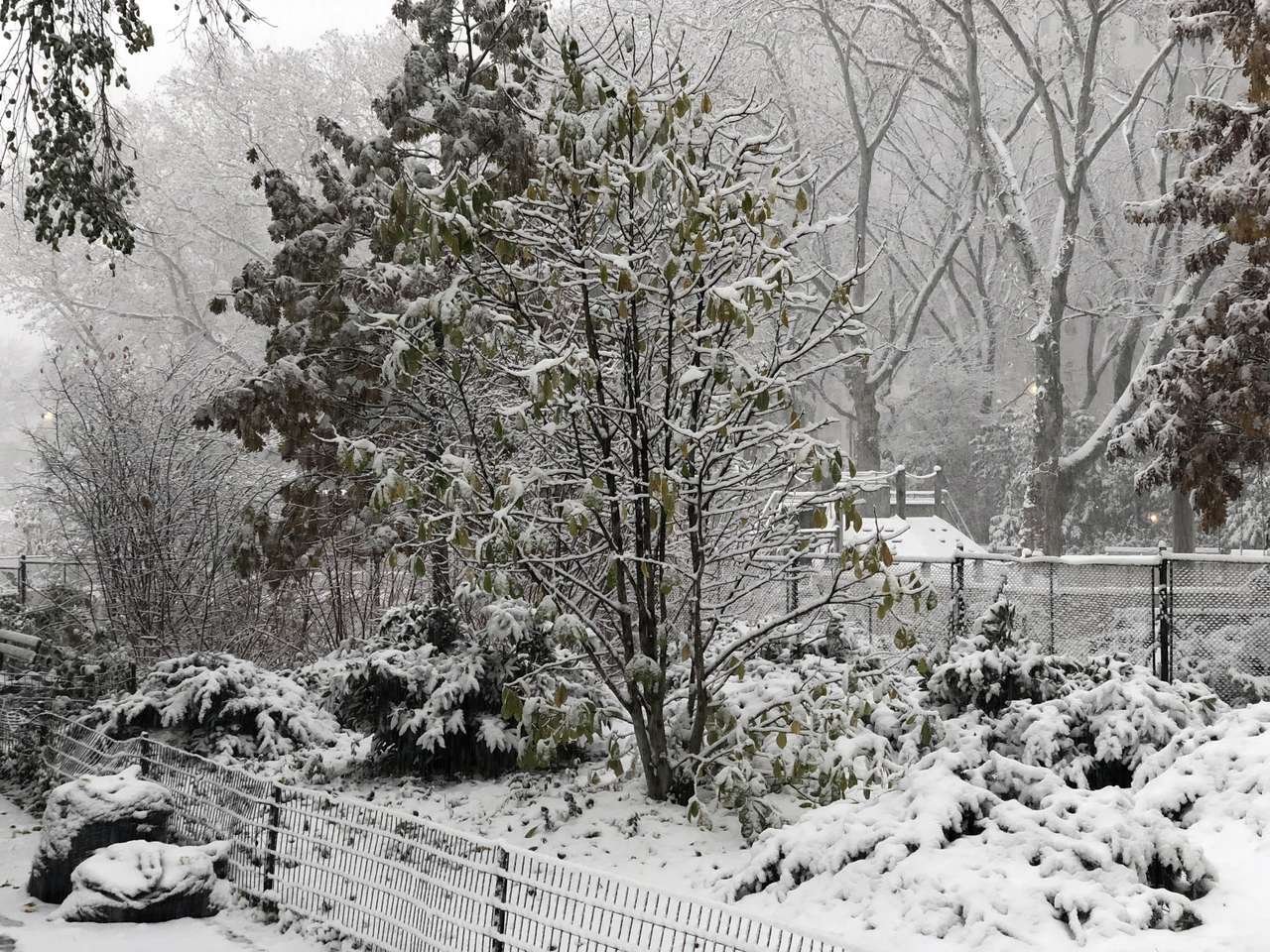
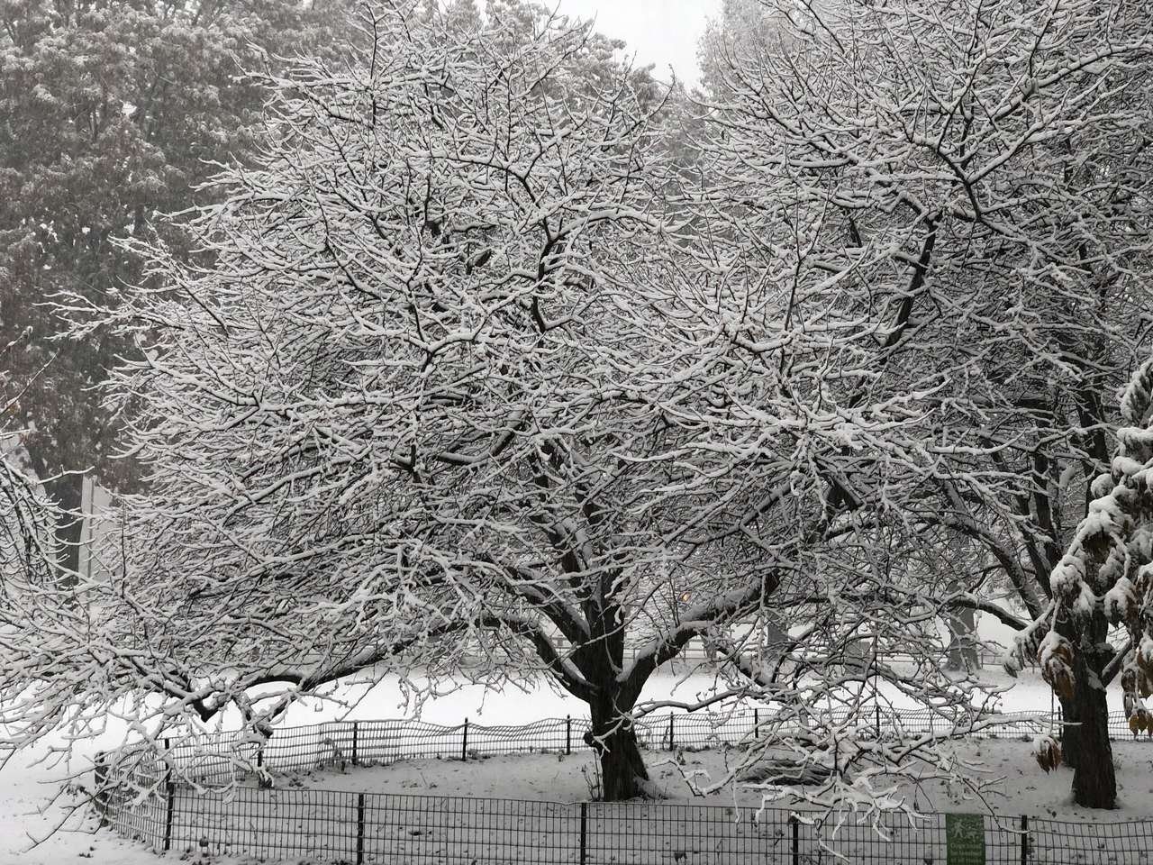
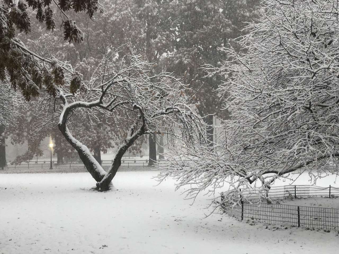
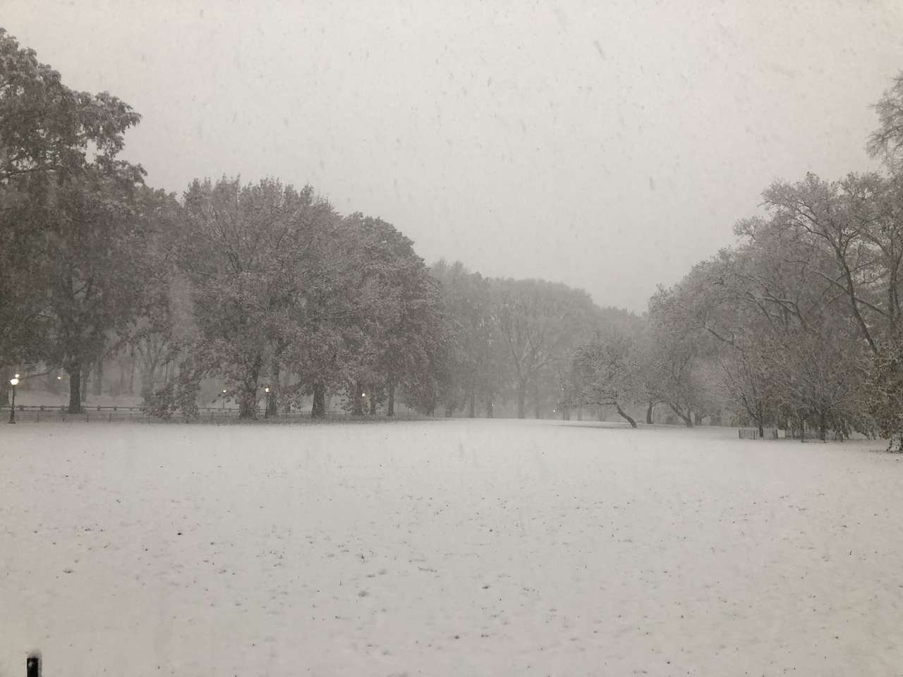
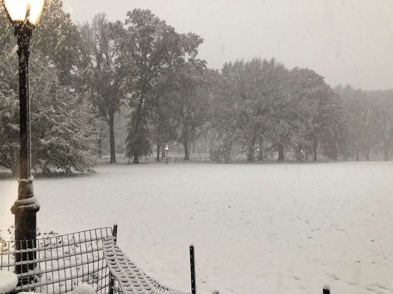
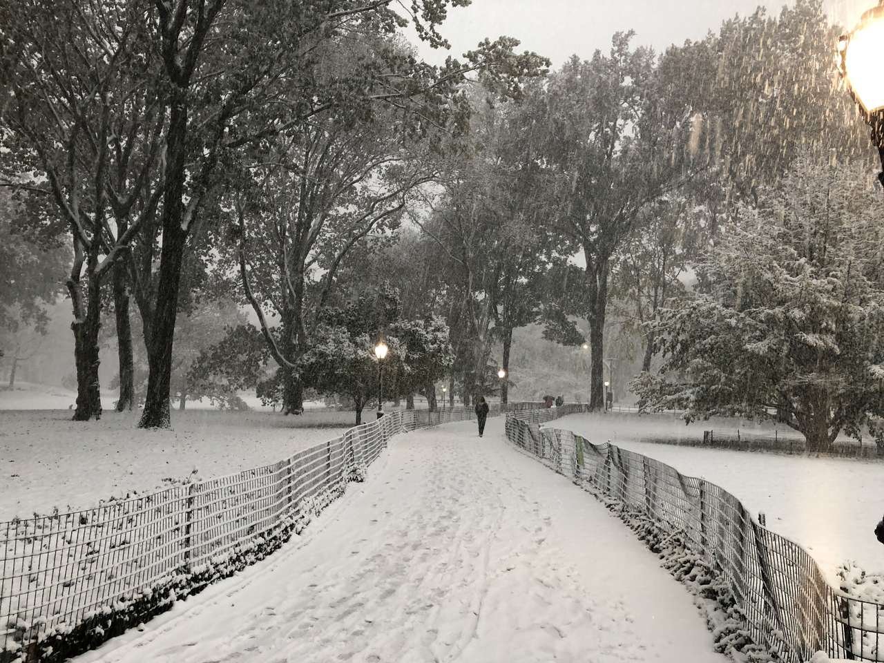
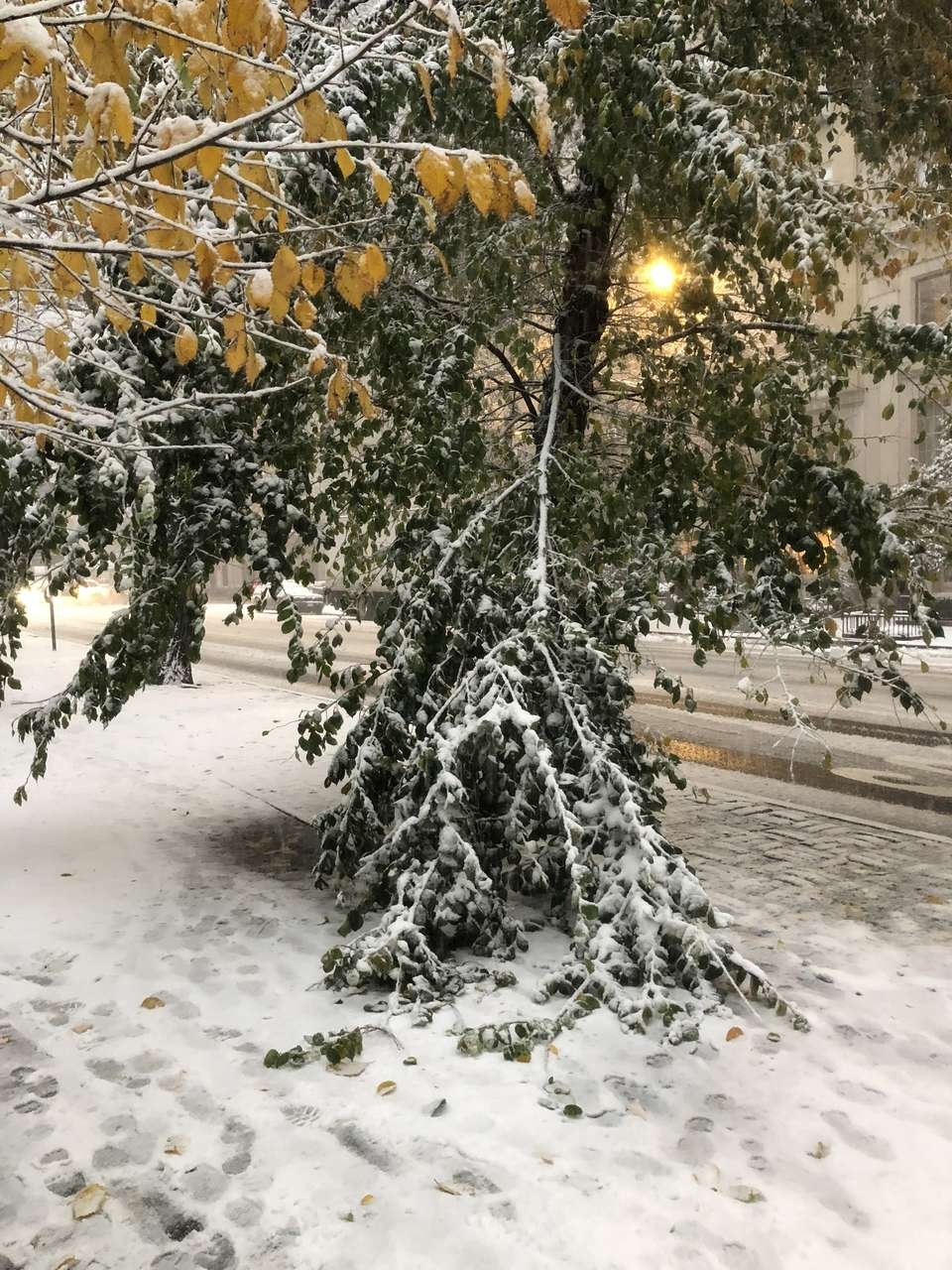
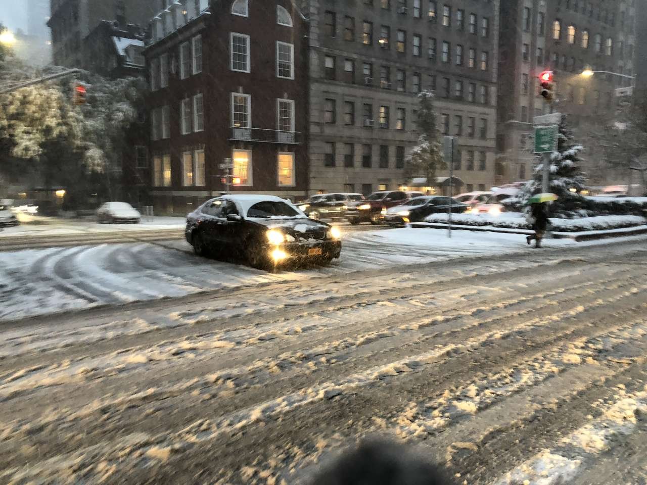
Pics continued. Was a beautiful sight!


-
 3
3
-
-
I have more pics but cant upload?
-
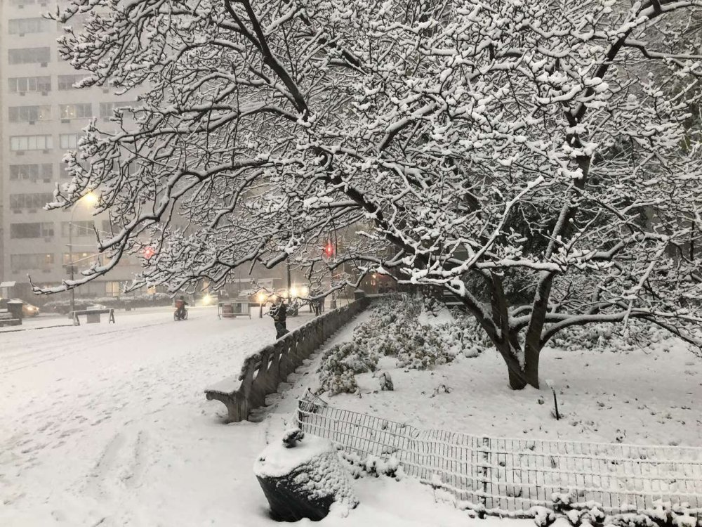
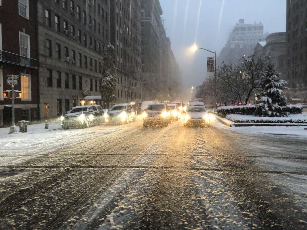
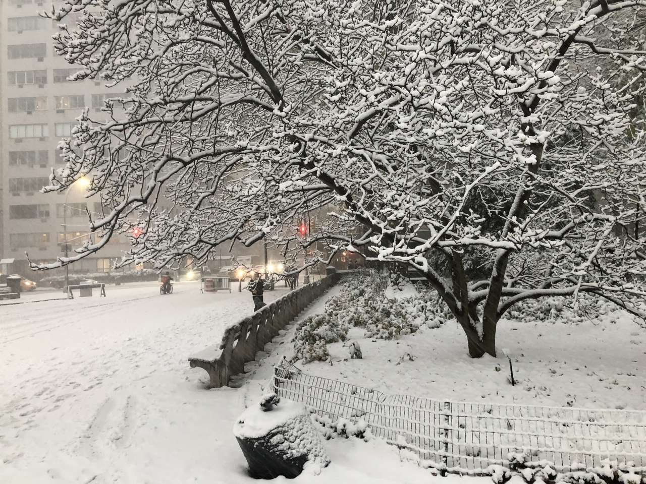
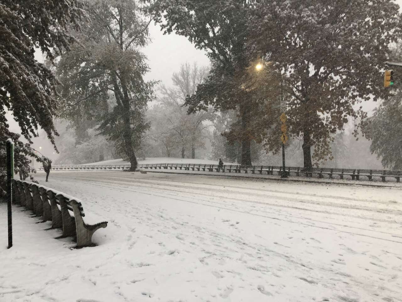
Pictures from Central Park and surrounding area, 4:00pm yesterday. Estimated snowfall at the time, 2.5-3.0 in

-
3
-
-
I was thinking 60-61 also but I don't know of any tornados in 1960 or 61...on Staten Island we had a fo tornado in August of 2003 and a blizzard in February and December...Washington DC got a hurricane in 2003...
You'll probably find many 2/3's.
-
Consider what has occurred in Islip, NY in the last six months:
Tornado just outside Islip in August 2012.
Hurricane Sandy (albeit not making landfall there) in October 2012.
Verifiable blizzard conditions in February 2013.
How many places can you say have had a tornado, hurricane, and a blizzard all in a six month period?
I'd think never. There are probably just a few locations ON EARTH where this is possible. Northeastern US is obviously one of them . North of a certain point chances decrease greatly of a hurricane strike. South of a certain point blizzards are one in 50 year events (or never occur)


Dec 5/6th major coastal/ west Atlantic cyclogenesis ...?
in New England
Posted
Been tracking this bad boy focused in Vermont ski areas (notably okemo) and wondering your guys thoughts on the western edge. From what I’m seeing after the worst of the East trend has ended it does seem like there may be some decent lift especially early aftn into evening tomorrow but my concern is how the models are handling the western fringe. There is definitely going to be a sharp cutoff on the NW side which right now seems to be worst between southeast Vermont and central mass (going from 0.75 to nearly 2in qpf on the euro). My concern is that precip might be overdone on the western fringe however in looking for some eveidencr of this, the FGEN maps from for example the RGEM it would support the model output of 0.5-0.75 qpf for most of southern/east central Vermont so maybe my concerns are unwarranted. Thoughts?