

bannerdude
-
Posts
37 -
Joined
-
Last visited
Content Type
Profiles
Blogs
Forums
American Weather
Media Demo
Store
Gallery
Posts posted by bannerdude
-
-
6 minutes ago, FallsLake said:
See that heavy/bright band running through Durham into north Wake County:
https://weather.cod.edu/satrad/nexrad/index.php?type=RAX-N0C-1-24
You want to be just north of those returns (which represent sleet).
No doubt. The sleet band has been training over my location for most of that loop, which I'll gladly take over cold rain....(No offense Cold Rain)
-
Sleet is accumulating on most elevated surfaces here. Haven't seen snowflakes yet.
-
Switched over to heavy sleet now
-
Sleet/rain mix in east Durham
-
Sleeting for the past 15 minutes here in Durham. Back deck is now crunchy.
-
33.5/26 currently in Durham
-
Wrapping up at my location with some light flurries. Another 2" today brings my overall total to ~11.5" for the storm.
-
Huge flakes here in the Sherron Road area of Durham. It's been snowing now since 0800, and appear to have 1.5" of additional snow on the deck rails.
-
Switched to light snow 20 minutes ago and just now picked up in intensity.
-
Well, it's nearly all liquid falling currently and we are a smidge below freezing. Hopefully it makes the switch to sleet soon....
-
Believe I'm finally done with the snow here in Durham. Measured 10.75" on the deck. Around 9.5" in the back yard. After the dog did around a thousand zoomies, the yard is now a very compact 3".
-
 2
2
-
-
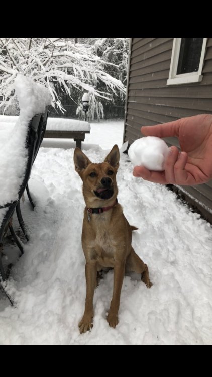
Around 8 inches now here in Durham. Been switching between snow and sleet for the last 20 minutes. Also the puppy’s first snow!
-
2
-
 1
1
-
-
Just had a few minutes of graupel here in Durham.
-
2 hours ago, NCSNOW said:
The Deep River hit a all time record Crest last night. The final chapter for Florence is fixing to be written this week, espeacilly SE NC for river flooding. Hate it for those along the Cape Fear, espeacilly in Wilmington as it will be pushing all time record flood crest.
The forecast for 6 to 10 across Randolph unfortunately materialized.
Still has a ways to go to hit the ~80K CFS mark from 1945, but it's still the second highest flow since the USGS gauge was installed in the 1930s. Currently at 61K and rising quickly. There are river flow records broken or soon to be broken all over NC this week.
That 1945 flood, also resulting from a tropical system, was what ultimately led to the construction of B. Everett Jordan Lake in Moncure.

-
1 hour ago, Buddy1987 said:
To one of the pros that frequent the board. This is for VA/NC mountains. If the system stalled let’s say over south central SC, wouldn’t that still create a ton of lift and add to a southeast component streaming straight from the Atlantic? Long story short would some of the QPF be under-modeled potentially along the spine of the Blue Ridge?
I'm no expert, but after living in WNC for a number of years and becoming familiar with the microclimates, I feel like an E/NE flow could lead to very high rainfall totals along the Brushy Mountain and South Mountain spurs (Yadkin and Catawba River Valleys).
-
1
-
-
2.22" in the gauge in Moncure

February 2019 Observations
in Southeastern States
Posted
Just checked out mPING, still reporting sleet in the Oxford area