

WxNoob
-
Posts
163 -
Joined
-
Last visited
Content Type
Profiles
Blogs
Forums
American Weather
Media Demo
Store
Gallery
Posts posted by WxNoob
-
-
Rates really picking up outside of Ithaca, heaviest of night so far. Eyeballing 2-3 inches thus far.
-
 3
3
-
-
Ripping now, decent flake size too. Shame it’s not gonna last long here.
-
Started as zr here but switched to graupel pretty quickly.
-
1
-
-
Full blown freezing rain here Northeast of Ithaca
-
 1
1
-
 1
1
-
-
Always seems like sleet and taint end up pushing more north than forecasted with these sort of setups as they play out. Just hoping to see some impressive rates before that happens.
-
1
-
-
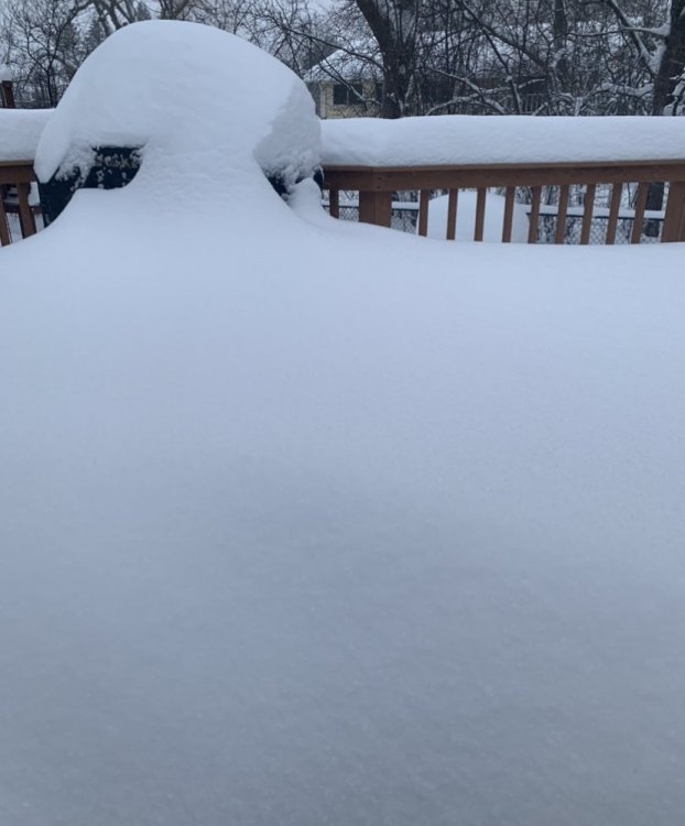
What a storm, 3-4 foot drifts in my backyard. An all timer for me.
-
6
-
-
Already 3-4 inches down here and still snowing moderately. Models last night barely had any precipitation reaching my area at this point. Usually do well here when a coastal hooks toward Maine so I’m cautiously optimistic.
-
45 minutes ago, Syrmax said:
If a person can't drive somewhere within 10 of the speed limit in light snow then they should stay home and wear a mask and be afraid. Of everything.
I wasn’t overly afraid of Covid but got it anyways. In my 30’s with no prior health problems. Spent a day in the hospital because I literally couldn’t get air in my lungs and let me tell you I was scared then. That’s cool you like to prove how tough and brave you are by minimizing a pandemic, mocking people who wear a mask and continuing to gather in groups but after you get it maybe I’ll take you seriously.
Anyways back to the snow...
-
1
-
2
-
 1
1
-
-
About an inch and a half here. Snow intensity picking up.
-
Roads covered already on light to moderate snow NE of Ithaca
-
1
-
-
Thinking this one will creep NW before all said and done. Maybe not enough for you Western NY folk but enough for I95 to get a slopfest.
-
1
-
 1
1
-
-
Flakes are the size of cotton balls. Gonna add up quick.
-
Heavy snow here, big flakes too.
-
Yes please to RGEM and HRDPS. Ill take a little taint to get under those dark blues for 6 hours or so. Also a bonus that the main show will take place in the afternoon tomorrow.
-
-
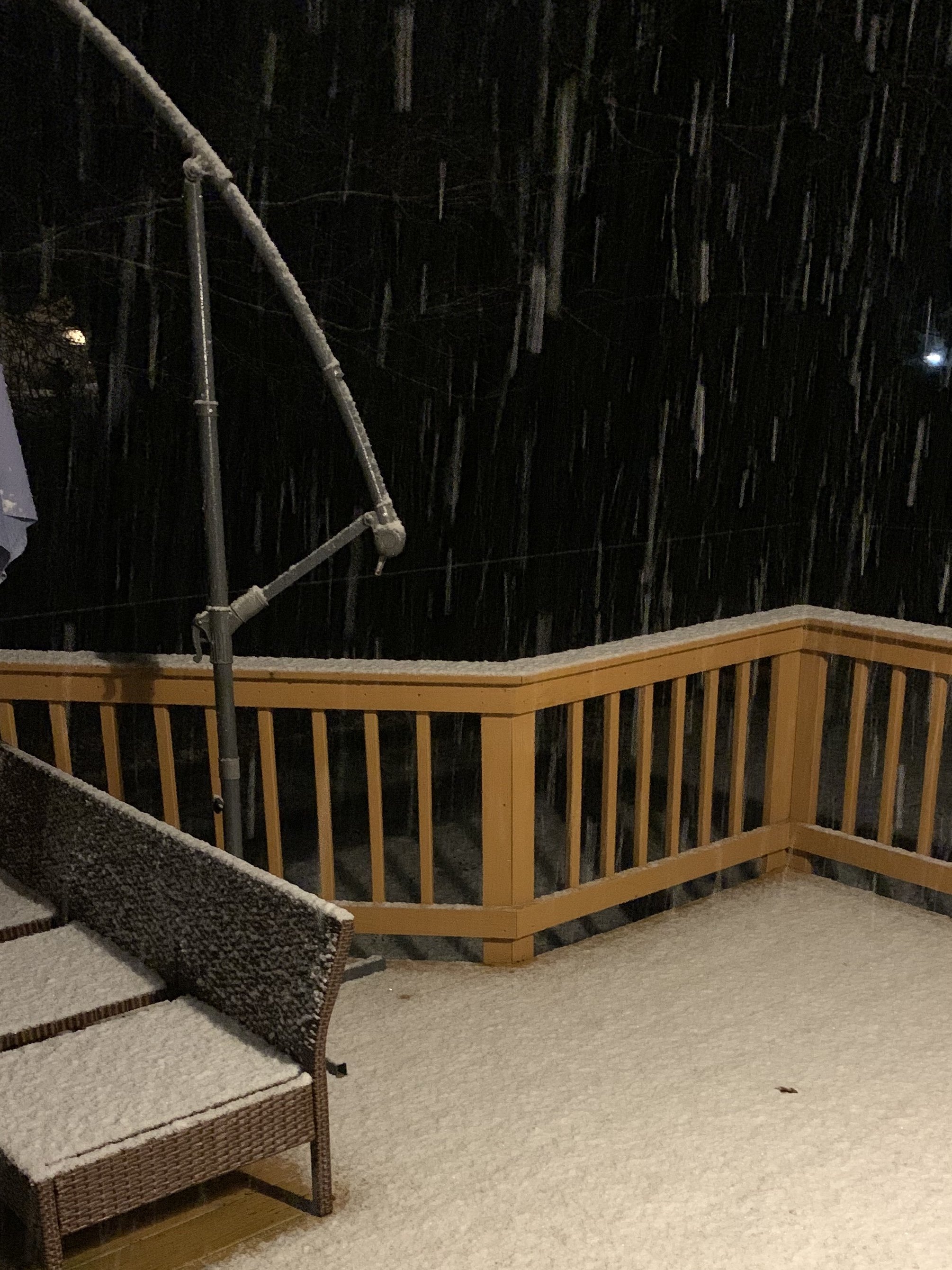
Pouring snow in the SE Finger Lakes, earlier than expected here.
-
1
-
-
(Re: Tuesday system)That’s a tight gradient. Likely won’t know for sure who gets the goods until nowcast time.
-
10 inches so far east of Cayuga and by looks of radar should keep coming down for some time.
-
2
-
-
Really coming down now here now, 1-1.5/hour stuff. Shouldn’t have any trouble adding up overnight
-
Just keeps flipping back and forth between sleet and freezing rain here northeast of Ithaca. Temperature sitting at 26 all day so far. Roads are awful, just saw a plow nearly skid off the road here.
-
21 minutes ago, tim123 said:
That would be bad. Half inch of ice then 10 12 inches of wet snow.
Evacuate now!!
-
2
-
-
After busting big time the past couple days we managed to pick up 3 inches in 2 hours this morning on a nasty little micro squall off NW flow from a Great Lakes/Cayuga connection. Got to love all the little micro climates the lakes provide.
-
Only expecting to find a slushy/icy 2-3 inches in northern Tompkins when I wake up tomorrow but recent NAM runs have been showing a nice NW streamer off the lakes tomorrow night that could provide some bonus accum.'s fingers crossed.
-
Could be wrong/thinking like a weenie but hasn’t the Euro had a west bias the past couple years?

Feb 2-4th Snowstorm- Observation Thread
in Upstate New York/Pennsylvania
Posted
Nice band working its way north toward Ithaca now. Snow really starting to pick up here.