

AlexD
-
Posts
1,274 -
Joined
-
Last visited
Content Type
Profiles
Blogs
Forums
American Weather
Media Demo
Store
Gallery
Posts posted by AlexD
-
-
FWIW, just saw NBC 10 snow map, at first showed 8"+ down here but then when they showed it again after commercial break it said 6"+
Sent from my SAMSUNG-SM-G890A using Tapatalk
-
There's still going to be snow, but the period of mix and rain Saturday is just about unavoidable, even on the coldest solutions) except maybe the NAM, but, well, its the NAM lol)
Sent from my SAMSUNG-SM-G890A using Tapatalk
-
NBC 10 Philly just had storm surge maps..
3 feet of surge in Lewes? Un-****ing real...
Sent from my SAMSUNG-SM-G890A using Tapatalk
-
Um guys...we got NAM'ed lol
Sent from my SAMSUNG-SM-G890A using Tapatalk
-
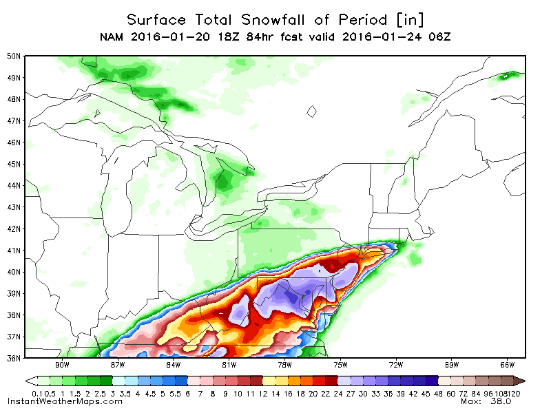
Wowwwww!!!!!! That is huge, biggest storm in a few years for us. Debeaches, I agree, power outages likely, and the coastal flooding over the canal could be bad..can't remember what the all time record is down there?12 Euro snowfall per wxbell-
SBY 13
Cambridge 19
Easton 19
Dover 20
Lewes 10-12
Lower So MD 20
GREAT run for the whole area. Most everyone is within a couple inches of 20. Higher amounts in mountains of Western VA
Sent from my SAMSUNG-SM-G890A using Tapatalk
-
The biggest story around here could be the winds and coastal flooding.... I'm hearing some big name storms being tossed around as comparisons..Right now I'm thinking the front end thump will be where we see the most snow. Probably 4"-8" in Salisbury before changing to rain and sleet. Could get another couple inches Saturday evening/night when it changes back, maybe more especially if dynamics remain strong and a possible deformation band sets up. Still have time to narrow everything down.
Ash Wednesday 62
Sent from my SAMSUNG-SM-G890A using Tapatalk
-
I'll take it, but I must admit some jealousy at what they're going to get out west. Totals like that just aren't really possible here
Sent from my SAMSUNG-SM-G890A using Tapatalk
-
Classic snow mix rain back to snow on the end situation. My wonder is whether the bulk of accumulations are on the front or back end?Per WxBell, 0z Euro has 16 for S DE, 10 for SBY, 19 for Cambridge, And 20+ N&W of there. Probably overdone, as I believe most of us will see some sleet, even rain on the lower shore.
Sent from my SAMSUNG-SM-G890A using Tapatalk
-
Hearing a lot about euro, but not much info for us...shocker. Sounds like it's similar to gfs tho. Either way looks like this has the chance to beat Knickerbocker totals in DC metro...
Sent from my SAMSUNG-SM-G890A using Tapatalk
-
It will be very interesting to see if 00z euro keeps with the southern solution.
Sent from my SAMSUNG-SM-G890A using Tapatalk
-
NWS is calling for near Sandy levels of surge and beach erosion, especially for the Delaware coast
Sent from my SAMSUNG-SM-G890A using Tapatalk
-
It remains to be seen if the 12z runs were a hiccup or a trend. Tonights models should be interesting (like they wouldn't have been anyway, lol). Either way its really just the globals bouncing between the goal posts they have already set. Let's just hope the end up on the right side, lol
Sent from my SAMSUNG-SM-G890A using Tapatalk
-
Euro ensembles back up the op
Sent from my SAMSUNG-SM-G890A using Tapatalk
-
We went from <4" to 10">
-
It did...major shift DT is ****ting himself
Sent from my SAMSUNG-SM-G890A using Tapatalk
-
Same here. Hugging the Canadian solution lol. It would be nice if the whole region could cash in on this beast in some way, I just fear we get a driving rainstorm while d.c. gets 3'I'm thinking the same, for our sub-forums sake, hoping for a little southeast jog to keep us all snow.

Sent from my SAMSUNG-SM-G890A using Tapatalk
-
Draw a line from Dover to easton. North of that, big snows, south of it, major mixing issues
Sent from my SAMSUNG-SM-G890A using Tapatalk
-
It would be nice....we are kind of stuck in a gray area, Delaware is technically part of the Philly forum, while all of Maryland is considered part of this one....I for one, think that DE is closer to the rest of the mid Atlantic climo wise than Philly and it's environs...In all seriousness, I wish there was more talk about NHK and SBY in addition to DCA/IAD/BWI/RIC/CHO
But yeah trying to decipher what a model shows for us based on output for reporting stations more than 100 miles away kind of sucks.
Sent from my SAMSUNG-SM-G890A using Tapatalk
-
I would expect about the same, even with the euro depiction....the big ones always mix for usOcean has cooled and will continue to do so this week. Water was warmer in Dec 09 and we managed mix to snow 6-10" in my immediate area. As of now I expect a Jan '96 type event with solid front end snow with rain to wash about half away and end with a few more inches snow. Maybe better than that.
Sent from my SAMSUNG-SM-G890A using Tapatalk
-
Gfs came in colder...
Sent from my SAMSUNG-SM-G890A using Tapatalk
-
A lot. Lol
Sent from my SAMSUNG-SM-G890A using Tapatalk
-
Probably not, but if its going to be forced on us, NYC is not the forum to merge with.I don't think many of us in this subforum want to merge?
Sent from my SAMSUNG-SM-G890A using Tapatalk
-
If you're going to merge, merge with mid Atlantic, not NYC .
Sent from my SAMSUNG-SM-G890A using Tapatalk
-
Heavy sleet and graupel
Southern MD / Lower Eastern Shore weather discussion
in Mid Atlantic
Posted
Well, models ticked NW from what I'm seeing...this is disappointing. I know we're not getting the historic totals like DC, but it would be nice to have a foot...
Sent from my SAMSUNG-SM-G890A using Tapatalk