-
Posts
27,974 -
Joined
Content Type
Profiles
Blogs
Forums
American Weather
Media Demo
Store
Gallery
Posts posted by WE GOT HIM
-
-
6 minutes ago, Cfa said:
Same. Feels sort of nice without getting blasted by the sun at its peak angle.
Sun is so strong
-
 1
1
-
-
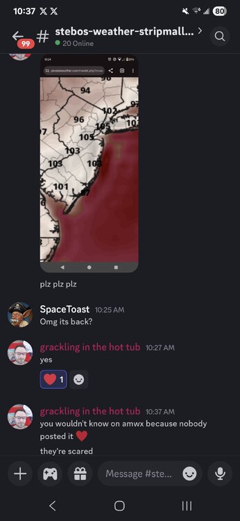
Still chilling over 100
Never seen anything like this
-
1 hour ago, ag3 said:
High of 99.7 so far here.
100.2 here
-
 1
1
-
-
Yeah I can't can't believe how quick it cool3d off
-
1 minute ago, Santa Claus said:
i already got their presents (lifetime subscription to Tapatalk)
Hi
-
12 minutes ago, Sundog said:
What is Sesh
Just the discord group with a bunch of ppl from here
-
-
5 minutes ago, LibertyBell said:
when was that?
I think like 1911 or something
-
On 6/1/2025 at 12:22 AM, Rjay said:
I spent a chuck of last winter explaining that it's cold bc it's winter.
Bro where you been. Make a new name. Forky told me you lost acess
-
-
5 minutes ago, LibertyBell said:
Mount Pocono at 93 is crazy, how close is that to their all time high?
103
-
 1
1
-
-
2 hours ago, ag3 said:
High of 97.5 here.
Currently 88.5
This is insane
-
13 hours ago, LibertyBell said:
who's the guy in the hot tub, Forky?
Yes
-
 1
1
-
-
-
5 minutes ago, forkyfork said:
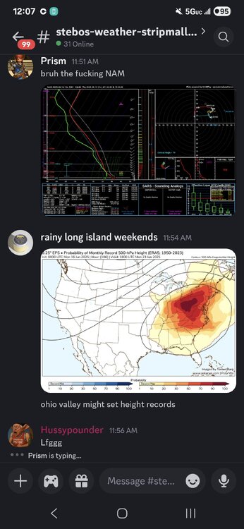
yeah this isn't a few hot days ahead of a cold front this is a legit heat dome
Yeah forkey was calling it over a week ago on usersesh
-
Everyone should get a good tank of gas next Monday
-
 1
1
-
-
8 minutes ago, nycwinter said:
these euro temps will not verify...
why not GFS is only a few degrees lower
-
 1
1
-
-
-
-
-
6 minutes ago, SACRUS said:
59 here at 11AM
60 here
-
13 minutes ago, LibertyBell said:
I thought 1998 had a lot of rain because it was a super el nino, 2002 was the really dry/hot year, check it out.
Oh it was 1995
-
1 minute ago, LibertyBell said:
also if you look at big heat summers like 1991, 1993, 1995, 1999, 2002, 2010 and 2011 you'll notice it wasn't as high in those specific years, so it makes me think it's more connected to rainfall rather than heat.
I think there was a big drought in 1998 that lasted July and August and doesn't seem to have spiked
-
2 minutes ago, lee59 said:
.66 inch of rain here in latest event
All it does is is rain Lee it's it's crazy


July 2025 Discussion-OBS - seasonable summer variability
in New York City Metro
Posted
.61 here