

LizardMafia
-
Posts
1,624 -
Joined
-
Last visited
Content Type
Profiles
Blogs
Forums
American Weather
Media Demo
Store
Gallery
Posts posted by LizardMafia
-
-
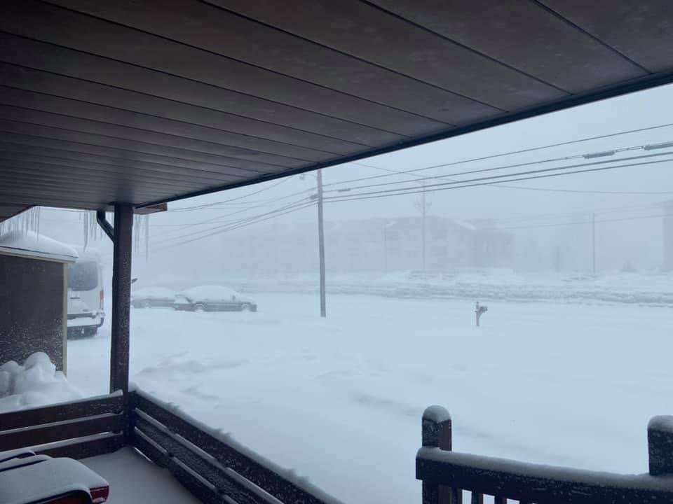
Snowing for a few hours now.

-
 2
2
-
-
Back to all snow, big flakes and snowing at a good clip now.
-
Been getting pingers mixed in with snow, even up here in Saylorsburg.
-
Change over to snow here in Saylorsburg.
-
Ended up with 1.5" here in Saylorsburg.
-
Looking nice outside this morning here in Saylorsburg.

-
3
-
-
All snow and 30F
-
Just now, LVblizzard said:
TOTAL WHITEOUT here in Bath. Can barely see across the street. Has to be 3-4”/hr rates.
Is that 512?
-
16 minutes ago, LVblizzard said:
It’s a little bit nervewracking being in the jackpot zone on every single model. At this point I’m just thinking of any ways this could go wrong.
We just ride and see what happens. At least it's not rain!
-
1
-
-
2 hours ago, LVblizzard said:
UKMET crushes most of the area. Very sharp cutoff north of the Lehigh Valley though. Allentown sees close to a foot while Jim Thorpe and Hazleton only get an inch or so.
Yeah, definitely would suck for us up here in the Southern Poconos.
-
Big fat flakes falling, quickly covered everything!
-
1 hour ago, LVblizzard said:
That zone between I-78, I-80, and I-81 is the place to be for this one. Coal country is gonna get hammered.
Party at my place, up at 1200' in Saylorsburg.

-
7 hours ago, LVblizzard said:
This definitely looks like one to get excited about. A lot would have to go wrong for SE PA to get nothing out of this.
Shhhhh! After last year, don't need to go giving mother nature any ideas!
")
-
Have a dusting of snow on grassy surfaces up here in Saylorsburg.
-
https://www.spc.noaa.gov/products/md/md0852.html
Looking like it could be an interesting afternoon and evening..
-
2 hours ago, RedSky said:
Tomorrow i hit the beach complete with beach chair and stocked cooler. Thanks to the winter sun angle no lotion or umbrella needed lol.
February rocks
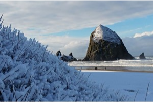
You are on the wrong coast, the Oregon coast picked up a few inches of snow.
-
 1
1
-
-
Snow squall warning issued out in Central PA, don't see one of those very often.
-
34 minutes ago, Newman said:
BTW, the Euro and EPS trended so much more favorably for this weekend. More separation of the TPV lobe and southern energy. I think you want to see a continued trend in less western ridge amplification. That will help to limit the southerly angular momentum of the TPV and allow for it to scoot east without phasing into our system. The Euro was so close to looking like the UKMET. The surface didn't reflect it because, in the end, the TPV does phase in, but a couple more ticks in less phasing and you will see the rubber band snap and boom we've got a UKMET solution.
Plus we are still several days out. It's not like we are 1-2 days before the event, things can still change.
-
3 minutes ago, Ralph Wiggum said:
Sunday system 12z gfs has lp over Pittsburgh....that's not gonna work. Thump quickly to rain verbatim
<sarcasm>Well, I guess next couple of runs will probably show cutting up over Chicago at this rate...
</sarcasm>
When will the west trend end, that is the question..
-
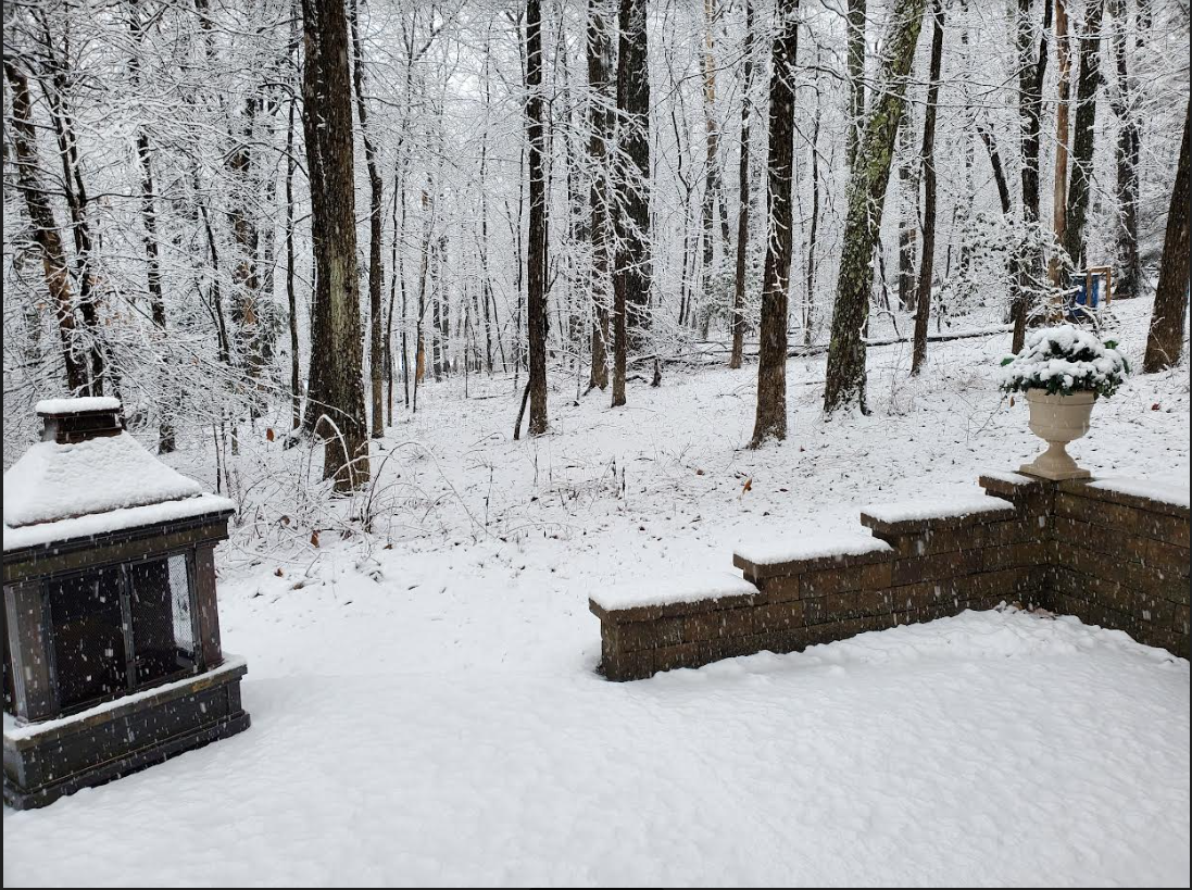
Ended up with a coating, was enough to coat the ground.
-
Just picked up my new snowblower. So, we'll be safe from any big snowstorms for the rest of this winter!
-
1
-
-
Still looking like a whole lot of nothing here in the southern Poconos. But thats fine, have some things to do a Saturday anyway.. LOL
-
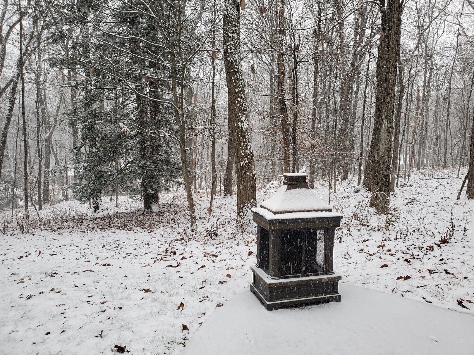
Received a dusting of snow overnight (1160' in Saylorsburg) up on a ridge, heard the salt truck come rumbling through at 5:30 am. Was pretty localized, once I got down to 209 & 115 the roads were bare pavement.
-
WSW now issues for parts of Southern Poconos and Lehigh Valley. Looking more like all precip is going to be of the frozen variety now.
E PA/NJ/DE Summer 2023 OBS Thread
in Philadelphia Region
Posted
Even have seen some ash falling from the sky today..