

MeteorologicalFan
-
Posts
52 -
Joined
-
Last visited
Content Type
Profiles
Blogs
Forums
American Weather
Media Demo
Store
Gallery
Posts posted by MeteorologicalFan
-
-
It’s going to pour for an hour like it hasn’t poured all summer in like an hr n half in nyc
-
This weather sucks it’s novermber dudes. It should be at least decently cold
-
 1
1
-
-
CMC has an approaching cold wave coming in at the end of its run? First flakes for everybody and maybe more around the 11-12 of November timeframe?
-
6 minutes ago, 40/70 Benchmark said:
Highs in the 40s are perfectly festive this time of year imo.....I'm good with freezing my arse off any earlier than I need to if it isn't going to snow.
This
-
Nice storm signal on the GFS 6z around 260hrs far away, but the signal is there for a winter storm
-
I don’t want snow until late November. And hopefully after that it dumps up until early March like my predictions were made. Aha
-
Cutter city the whole run on the GFS 06z run
-
48 minutes ago, dmillz25 said:
I know who it is, I just wanted to start something lol
Pam how’s your rain tonight?
-
What a crappy day. I’m just glad we didn’t get snow. Upstate needs to get snow than we need snow to get a good winter.
-
4 hours ago, Snow88 said:
Models are wet for the next 2 weeks
I would watch the hours for 180-200 for a snowstorm even close to home I’d say up to mahopac area.
-
1 hour ago, Animal said:
Rain is forecasted to Montreal.
Dude I’m telling you the snow will fall in Monticello, it will change to rain but there will be some snow in the beginning.
-
 1
1
-
-
8 hours ago, NycStormChaser said:
The NAM must be off its rocker. I do not see how this would verify. I'd assume since the model includes sleet, that is what it is picking up because temps do not support snow.

It would probably be due to wet bulb and evaporative cooling if any of that snow verifies!
-
1 hour ago, Snow88 said:
A lot of rain and wind tomorrow especially on the coast.
Monticello should get some heavy wet snow if it wetbulbs tonight. It’s definitely colder than modeled
-
I’m going to predict this again... rain Friday night after midnight. Heavy rain up until 10am Saturday. Showers continuing until about 3-4pm drizzle for the evening. Cloudy Saturday night with some showers and sprinkles Sunday.
no winds higher than 50mph gusts. This will be a flooding problem at most with some surge Saturday morning!
-
To me it looks like a 75% chance of us getting above average snowfall
-
3 minutes ago, bluewave said:
I put together the Islip El Nino stats since 2000 for the posters on Long Island. December generally had the warmest temperature departure of DJF. Even on the years with a cold December temperature departure, it was still a warmer departure than the coldest winter month. The only 2 -NAO/-AO Decembers were 2002 and 2009. They were colder than normal and had 10" or more of snow for the month.
2002-2003.....ISP snowfall missing so BNL was used as a substitute
Seasonal snow.....62.1"
Dec....-2.2.....11.5".....-NAO/-AO
Jan...-4.4
Feb...-4.5
Mar...-2.4
2004-2005
58.8"
Dec....-0.4
JAN....-2.3
Feb....-0.5
Mar....-4.7
2006-2007
9.0"
Dec....+5.5
Jan....+5.3
Feb....-5.7
Mar...-1.0
2009-2010
53.8"
Dec....-1.1.....25.3" .....-NAO/-AO
Jan.....-0.2
Feb....-1.4
Mar....+5.8
2014-2015
63.7"
Dec...+4.0
Jan....-1.9
Feb....-11.2
Mar...-4.1
2015-2016
41.4"
Dec....+12.8
Jan....+2.7
Feb....+2.9
Mar...+6.2
How about Central Park?
sorry to bother you
-
I think it has to do with Geography and topography. Also cities that have building seem to destroy systems therefore they cut underneath.
-
1
-
-
17 minutes ago, SnoSki14 said:
Nobody in the area would have seen snow. Maybe the highest elevations in the Poconos would have gotten flakes and that's about it.
This was always going to be a rain event for everyone unless you go far into Northern New England.
I think you’re wrong if this was a perfect track and low in the 980 range people north of Yorktown heights would have gotten wet snow.
-
14 minutes ago, NJwx85 said:
This tracks overhead or just to the SW, not a true cutter that would put us into the warm sector.
You’re right it’s not cutting yet, but the trend is for this to cut and go over philly and the poconos. That would be a cutter. Regardless if this was a true bm track we would have snow in burbs like the gfs was showing yesterday at 6z run
-
This is cutting that means rain for everyone and rain up from Friday after midnight until Saturday afternoon. Drizzle Saturday night, Sunday sprinkles a bit windy with a shower or two turning colder Sunday night.
-
This is a fluke now, how did this happen
-
5 hours ago, TriPol said:
Any chance we see a few flakes out of it?
For sure if you’re north of of 287, I think that’s the least you see
unless this cuts
-
Thursday night into Friday morning should be even colder from what I see!
-
3 hours ago, Snow88 said:
This looks like a normal Nor Easter with rain for the coast and snow well inland
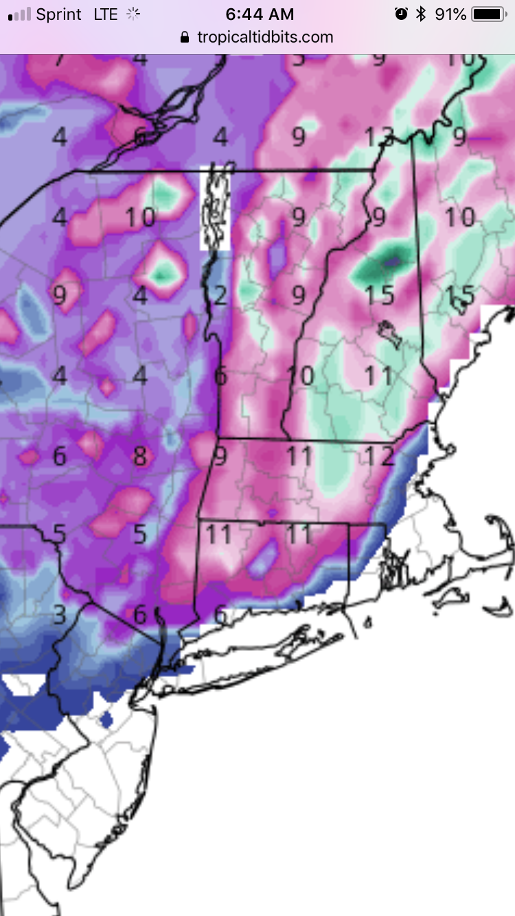
Gfs 06z run has white rain the entire storm for westchester county. I wonder what the models were showing for us 5-6 days out for winter storm Athena lol I’m such a geek I remember the Halloween 2011 snowstorm name!

November 2018 Discussions & Observations Thread
in New York City Metro
Posted
That GFS 18z run looked great for an early winter storm. 850’s are plenty of cold and storm track looks good. A bit of stale cold but I think if the storm comes in at night we can get some snow this weekend.