
CyclonicFury
-
Posts
12 -
Joined
-
Last visited
Content Type
Profiles
Blogs
Forums
American Weather
Media Demo
Store
Gallery
Posts posted by CyclonicFury
-
-
Is a Miller F a RDU 33 degree rain special?
-
 1
1
-
-
FV3 has done well but the Tidbits clown maps need an upgrade.
-
I wonder what's in store for the rest of the winter in central NC. 7.5" is very impressive for early December.
-
It seems like it takes an hour for the snow to move one mile.
-
2 minutes ago, thess said:
Just a lurker. I noticed there aren’t many RDU posters for this event. Did we pretty much bust already? I see a lot of conflicting maps so no idea what’s going on at this point.
")
I'm from the RDU area.
I think we will see at least 4-6 hours of snow beginning around 2-4 am and ending around 8-10 am. Likely will accumulate about 2-4" of snow sleet mix.
-
1
-
-
1 minute ago, Queencitywx said:
GFS honestly isnt bad either. I'm thinking this NAM run will end up being fluky.
Do you have a link for the NAM ensembles?
-
2 minutes ago, LithiaWx said:
If it can snow 12” in early December down here then you guys should not worry about early December. Sun angle is low and ground temps mean jack when you get tons of snow.
Last year in early December in NC, from Raleigh south and east got a miserable cold rain with a brief flurry at the end.
-
This is slowly trending from what appeared to be a near miss to a potential major snowfall for RDU. But will a warm nose appear is the question.
The latest FV3 keeps temperatures below freezing here all day Sunday with no changeover to rain.
-
2 hours ago, tarheelwx said:
With so many things appearing to fall in our favor for the long range, now is the time to step back and ask ourselves "what can go wrong."
TW
Surface temperatures above freezing, warm air nose, or warm soil temperatures. One of the three always seems to show up in the month of December.
-
39 minutes ago, cbmclean said:
I take it as a positive that this kind of stuff is showing up in mid-November instead of us having to hang our hopes on this in January.
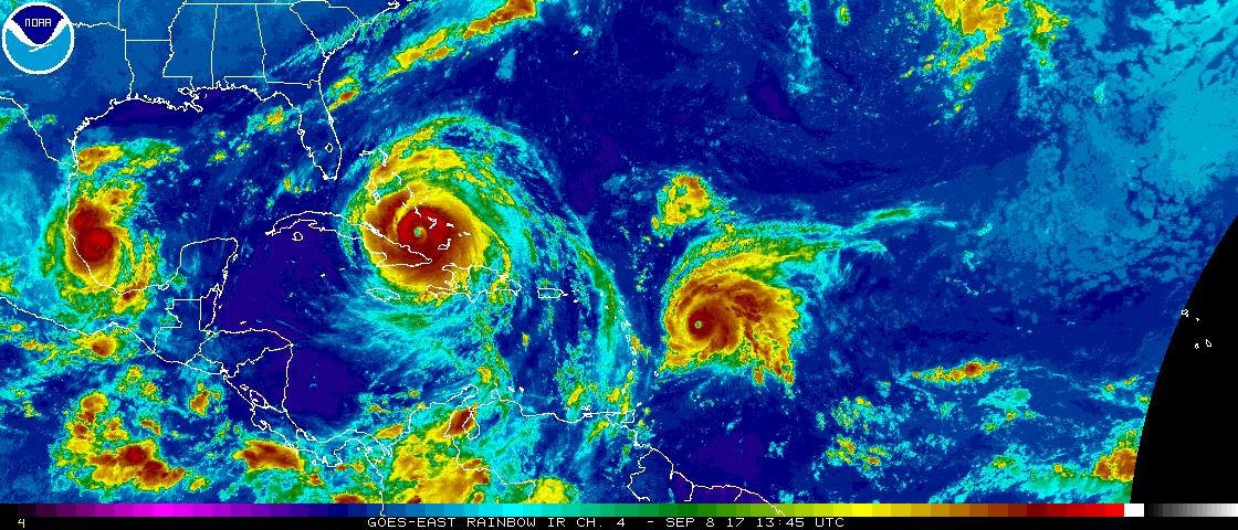
Oh, and anyone notice that little gem in the far SE corner of the map?
Clash of the seasons. It's still hurricane season but it's not quite time for snow for the Southeast just yet.
It's just too early.
-
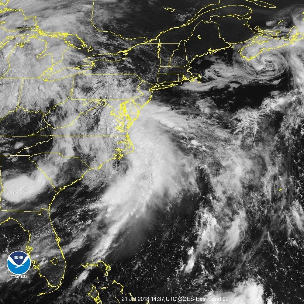
On 7/21/2018 at 10:53 AM, jbenedet said:
I find it a bit odd that the NHC hasn't flagged this system with moderate to high probs for development into a tropical/sub tropical cyclone yet. I'm not sure what it's classifying it as (A Nor' Easter in middle of Summer in the sub tropics???), but there's clearly a Mid Level circulation off the coast of North Carolina based on radar and visible satellite, and the guidance consensus track takes this over SST's that are marginally supportive of maintaining tropical characteristics as it moves north and then northwestward towards the Del Marva...

Probably because of its non-tropical nature and that it has frontal features. Even a subtropical cyclone must be non-frontal to classify.
2019 Hurricane (all named Tropical storms) forecast contest
in Tropical Headquarters
Posted
14/6/2
May: 1/0/0
June: 0/0/0
July: 1/0/0
August: 4/2/1
September: 5/3/1
October: 2/1/0
November: 1/0/0