

MazooWeather
-
Posts
3,866 -
Joined
-
Last visited
Content Type
Profiles
Blogs
Forums
American Weather
Media Demo
Store
Gallery
Everything posted by MazooWeather
-

Pre-Christmas (Dec 21-23rd) Winter Storm Part 2
MazooWeather replied to Chicago Storm's topic in Lakes/Ohio Valley
FWIW the early runs deepening faster makes sense considering the low is deepening faster than forecast out west right now -
Pre-Christmas (Dec 21-23rd) Winter Storm Part 2
MazooWeather replied to Chicago Storm's topic in Lakes/Ohio Valley
I mean for the areas not under a blizzard warning -
Pre-Christmas (Dec 21-23rd) Winter Storm Part 2
MazooWeather replied to Chicago Storm's topic in Lakes/Ohio Valley
DTX, GRR and IWX def need to up the totals in their warnings and consider upgrades if trends continue, a couple more inches with the winds forecast will be the difference between intermittent whiteouts and full blown blizzard -
Pre-Christmas (Dec 21-23rd) Winter Storm Part 2
MazooWeather replied to Chicago Storm's topic in Lakes/Ohio Valley
Multiple snow squall warnings from the system out west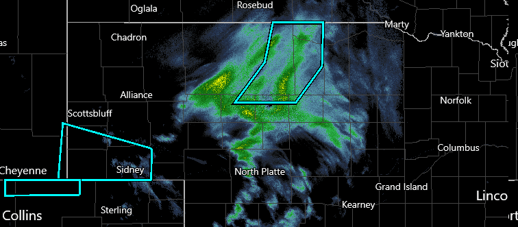
-
Pre-Christmas (Dec 21-23rd) Winter Storm Part 2
MazooWeather replied to Chicago Storm's topic in Lakes/Ohio Valley
IWX on the other hand is considering upgrading more counties to a Blizzard Warning later if the higher winds verify -
Pre-Christmas (Dec 21-23rd) Winter Storm Part 2
MazooWeather replied to Chicago Storm's topic in Lakes/Ohio Valley
The 12Z gfs was definitely a run for people east of the lakes, absolutely dumps snow on Michigan -
Pre-Christmas (Dec 21-23rd) Winter Storm Part 2
MazooWeather replied to Chicago Storm's topic in Lakes/Ohio Valley
That was a very very odd run to say the least, it was also late, wonder if it had some issues -
Pre-Christmas (Dec 21-23rd) Winter Storm Part 2
MazooWeather replied to Chicago Storm's topic in Lakes/Ohio Valley
FWIW the EPS is coming in west of the OP run -
Pre-Christmas (Dec 21-23rd) Winter Storm Part 2
MazooWeather replied to Chicago Storm's topic in Lakes/Ohio Valley
I just more am full of hopium in the hopes that you guys further west don't get shut out, I'd take less for more spread the wealth -
Pre-Christmas (Dec 21-23rd) Winter Storm Part 2
MazooWeather replied to Chicago Storm's topic in Lakes/Ohio Valley
Hoping the GFS is somehow sniffing out a coup on this one -
Pre-Christmas (Dec 21-23rd) Winter Storm Part 2
MazooWeather replied to Chicago Storm's topic in Lakes/Ohio Valley
0Z GEM meanwhile with a slight east shift, but does give more snow overall -
Pre-Christmas (Dec 21-23rd) Winter Storm Part 2
MazooWeather replied to Chicago Storm's topic in Lakes/Ohio Valley
0Z GFS on 10:1 or Kuchera is probably the most spread the wealth possible, would be a widespread blizzard with the wind its progging -
Pre-Christmas (Dec 21-23rd) Winter Storm Part 2
MazooWeather replied to Chicago Storm's topic in Lakes/Ohio Valley
0Z gfs coming in slightly west and stronger -
Pre-Christmas (Dec 21-23rd) Winter Storm Part 2
MazooWeather replied to Chicago Storm's topic in Lakes/Ohio Valley
-
Pre-Christmas (Dec 21-23rd) Winter Storm Part 2
MazooWeather replied to Chicago Storm's topic in Lakes/Ohio Valley
The NAM follows roughly the same path but does at least seem to be a bit more moist -
Pre-Christmas (Dec 21-23rd) Winter Storm Part 2
MazooWeather replied to Chicago Storm's topic in Lakes/Ohio Valley
Not issuing a winter storm watch and going on the low end is kinda an odd decision -
Pre-Christmas (Dec 21-23rd) Winter Storm
MazooWeather replied to Chicago Storm's topic in Lakes/Ohio Valley
Hoping the QPF trends back up, that's killing the spread the wealthness -
Pre-Christmas (Dec 21-23rd) Winter Storm
MazooWeather replied to Chicago Storm's topic in Lakes/Ohio Valley
The back roads in rural areas will be completely impassible I bet -
Pre-Christmas (Dec 21-23rd) Winter Storm
MazooWeather replied to Chicago Storm's topic in Lakes/Ohio Valley
06Z GFS is about the same, not a shocker, onwards to 12Z! -
Pre-Christmas (Dec 21-23rd) Winter Storm
MazooWeather replied to Chicago Storm's topic in Lakes/Ohio Valley
IWX has hoisted a watch -
Pre-Christmas (Dec 21-23rd) Winter Storm
MazooWeather replied to Chicago Storm's topic in Lakes/Ohio Valley
We've had sudden daily shifts every day for three days, models all agree and then suddenly change to something else they all agree on -
Pre-Christmas (Dec 21-23rd) Winter Storm
MazooWeather replied to Chicago Storm's topic in Lakes/Ohio Valley
Hoping it trends a little more stronger in the future runs, everyone deserves something from this -
Pre-Christmas (Dec 21-23rd) Winter Storm
MazooWeather replied to Chicago Storm's topic in Lakes/Ohio Valley
-
Pre-Christmas (Dec 21-23rd) Winter Storm
MazooWeather replied to Chicago Storm's topic in Lakes/Ohio Valley
Or for it to end up going back west a bit, Chicago usually has the magnet -
Pre-Christmas (Dec 21-23rd) Winter Storm
MazooWeather replied to Chicago Storm's topic in Lakes/Ohio Valley
It finally starts bombing out over Detroit


