

OKpowdah
-
Posts
6,036 -
Joined
-
Last visited
Content Type
Profiles
Blogs
Forums
American Weather
Media Demo
Store
Gallery
Posts posted by OKpowdah
-
-
2 minutes ago, mostman said:
Lol.
Maybe they were *forecasting* snow including what's on the ground in Amherst...?
-
Figured this still would go in this thread...
Lots of fun tomorrow too. Upstream ML low drops over the Northeast, 500mb temps plummet to around -35C. There's no low level cold advection going on behind this storm. Plus low to mid level moisture gets trapped in the broad circulation formed. We're talking total totals >50, even potentially some low level CAPE >100J/kg.
Recipe for heavy snow squalls with whiteout conditions, maybe some thunder..thumb.png.51accb2c750caf820ceac642116664c3.png)
-
 2
2
-
-
3 minutes ago, ORH_wxman said:
It wouldn't surprise me if there were an inch or two tonight from that. The ULL goes right over head too which will help with the snow shower activity.
The upper low is going to give you guys some fun for sure. Especially tomorrow. I mean you even have surface based CAPE tomorrow afternoon. Good recipe for squalls with whiteout conditions.
-
Parents back in Keene, NH reporting 3.5" total so far
-
For the sake of my own mental health, I'm so happy I'm living in Oklahoma right now.
Because if I was back in Keene, NH for the moats in these past two storms .....-
 2
2
-
-
Following the recurvature of Typhoon Francisco, we get a huge jet amplification again in the West Pacific, and it looks like both the GFS and ECMWF want to develop an intense low in the poleward exit region by day 7-10. Could get kinda windy around the Aleutians to western Alaska.
-
Ahhh I want to be back up there! Great pics man!
-
Aurora forecast for this weekend! Too bad we're counting on darkness and clear skies ... both of which may be difficult to come by http://www.gi.alaska.edu/AuroraForecast/Alaska/2012/07/14
-
11th anniversary of my favorite snowstorm

-
Good stuff Ryan.
Mind blowing. Absolutely incredible
-
Will, did you ever get a copy of this?
I read a little of it in a coffee shop in Keene. The author went to Keene High School and wrote for the Sentinel (the local paper)
-
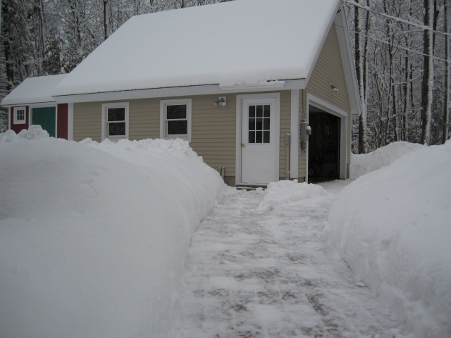
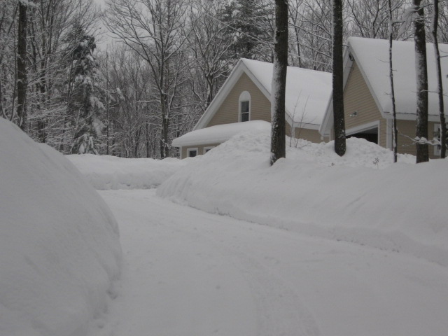
Probably about half of the snow on the ground in Plymouth is from the pre-Thanksgiving storm
-
I've been reminiscing about this tonight...
Absolutely amazing!! That band is incredible. I can't believe I wasn't home in Keene for it.
-
12" in Keene, which was a little "disappointing", but significant nonetheless
And the model watching was the most excitement I've ever had with a storm I have to say. 20-30" in eastern NY, western MA, and S VT where a few days earlier partly cloudy skies were a justifiable forecast. Absolutely incredible.
-
February 27, 2008
-
I hope it comes in January. I want to look out the window at night and see what looks like a thick fog from blinding heavy snow
-
Living vicariously through a case study of the Dec 2002 storm right now
-
Lets all hope for a weak Nino next year. West based would be nice.
Nino and +QBO ... Definitely a crappy winter next year.
-
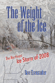
Also just for fun, here's a total snowfall forecast from the NAM for the 2008 ice storm, in NAM fantasy range...

-
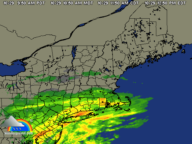
Can anyone post a radar loop of the ice storm in 08?
Here's a snapshot. Will probably has a couple gigs of ice storm 2008 porn saved

-
-
-
-
If you love it, do it. Pretty darn simple
I love meteorology
.png.97aa115364742253434c828acaf4f707.png)


March 12/13/14 Blizzard/Winter Storm/WWA etc
in New England
Posted
8" more to go apparently