

FRWEATHA
-
Posts
597 -
Joined
-
Last visited
Content Type
Profiles
Blogs
Forums
American Weather
Media Demo
Store
Gallery
Posts posted by FRWEATHA
-
-
We don’t even have an inch here. Warm sectored and pretty much wiped out what had fallen.
-
37 minutes ago, AstronomyEnjoyer said:
28.4°, and sleeting here in Bradford.
Looking at my cameras at my house in Sunapee still snowing there.
-
All snow now and really coming down.
-
2 minutes ago, NeonPeon said:
Snowing nicely once the lull ended. There was zero mixing.
It’s snowing in Newport?
-
-
Still raining here. Have a house I bought last year in NH and looking at my camera feed looks like a couple of inches there. Asking myself why I didn’t plan to be there this weekend.
-
Is it possible that blocking is so strong we get something retrograding?
-
22 minutes ago, kocab said:
Steady snow here on the west bay in Rhode Island
Still just a coating though. Roads are real mess. I don't think RIDOT expected this one to make the impact it's already making.
Wow. Still raining here on the E side of the bay.
-
For societal impacts ‘78 was like nothing else. I was 11 y.o. at the time. Had an afternoon paper route after school. Still remember delivering papers in a raging blizzard and loving it! Had an uncle that lived with my family that got stuck carpooling from Cranston in Providence that was rescued by National Guard and spent a week at Ri Hospital.
-
 3
3
-
-
It’s pounding here now but it’s still struggling to accumulate on warmer surfaces.
-
The 81 storm here was incredible. One of my favorite storms. Got about 2 feet of wind blown paste. Wind stayed NNW which prevented any changeover.
-
Still amazes me how well Gloria was forecast about 1 week out in ‘85. All forecasts had it hitting somewhere on the E coast 1 week+. And here we are in 2023 with such uncertainty about Lee.
-
Second night of heavy storms around 4:30 AM. Both with quite the light and sound shows. Drenched.
-
Best storm we’ve had in awhile in these parts. Worse day for it to happen of course.
-
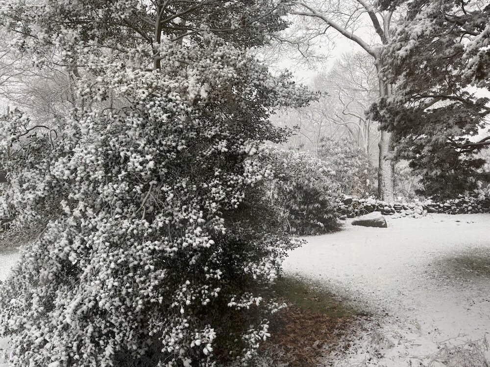
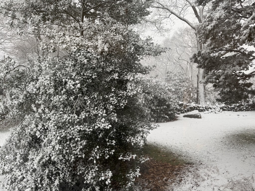
Yankee Mag webcam in Dublin, NH looks like everything is coated. Should be fun up there.
-
1
-
-
11 minutes ago, CoastalWx said:
Lol nam slays. This is hilarious.
Was supposed to see Springsteen tonight so reading these posts has been my entertainment. Hoping to be pleasantly surprised here.
-
9 minutes ago, cleetussnow said:
Its happening already. Cali lost a couple of congressional reps and had to do some redistricting. Same with NY. Each have lost probably 200,000 since the last census.
And it has nothing to do with climate.
-
3
-
 1
1
-
-
Just had worst gust of the entire storm here, and probably worst than any recent storm.
-
1
-
-
Check out Buffalo webcams. Whiteout!
-
Snowing here.
-
1
-
-
Of course we had a huge snowstorm in early December that was all snow even here. I remember Burbank saying it would stay all snow even to the coast because the wind stayed northerly.
-
3 hours ago, ORH_wxman said:
Dec '81 is actually not a terrible analog either for this pattern. I think late Dec '10- early Jan '11 is a better one, but Dec '81 had that block dominating the pattern for weeks.
Parts of Dec 1995 are a good match too.
The 81-82 winter was much better for central and NNE. I remember being in central NH in mid Jan. and there was a ton of snow. We had a lot of mixing issues down here, but seemed to get much better just north of 128.
-
2 hours ago, dryslot said:
SE ridge doesn't bother me.
Wouldn’t bother me too much if I were in ME. Down here, it’s more of a concern.
-
2
-
-
I know people bash Burbank for saying Eduoard couldn’t miss while he was acknowledging it was turning east. He was actually referring to its wind field expanding as it passed. My memory is that the outer Cape/Nantucket had gusts over 90 with pretty widespread power outages.
February 2025 Disco/Obs Thread
in New England
Posted
Btw, check out SUNY Oswego webcams. Getting hammered by that stream.