

HKY18
-
Posts
613 -
Joined
-
Last visited
Content Type
Profiles
Blogs
Forums
American Weather
Media Demo
Store
Gallery
Posts posted by HKY18
-
-
Next week is looking very interesting, rain or snow who knows but the pattern right now is fun. Southern stream is super active, just a matter of time before something big happens this winter I think.
-
 3
3
-
-
0z euro looks interesting for middle of next week. Better setup to hold cad high in place over northeast. Big signal from ensembles for moisture laden storm as well. Verbatim it’s a mid Atlantic storm but it’s close enough to pay attention to.
-
1
-
 1
1
-
-
18z nam looks pretty cold at hr 84
-
1
-
-
3 minutes ago, Iceagewhereartthou said:

A 1043 high over the MN/Iowa border should result in a cold press MUCH farther South than central Missouri. The whole northern fringe of this should be snow. This tells me either the model is completely off, or the there is very marginal cold to work with. Remember, cold is ALWAYS the first and biggest concern in our area; espcially outside of elevation.
That’s not a precip type map only precip rate
-
3 minutes ago, griteater said:
GFS out to hr84. Should be another wintry run with wave 1 as the wave is hanging back again
The trend has been consistent last few runs. Actually closed off at hr84 over Texas at 500 this run
-
1
-
-
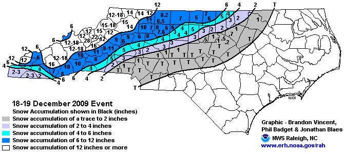
Southern stream is so active and appears that’s not gonna change anytime soon, just a matter of timing and we will get crushed this winter. GFS has another big system moving in around 18th/19th. Would be a nice 10 year anniversary lol
-
Congrats on the new sub-forum. I'll add my .02 on upcoming threats every now and then. I live in NC, but I promise you won't have to hear about CAD lol
Mid to Long Term Discussion 2019
in Southeastern States
Posted
Need west based NAO block for Miller A. Not been the trend of this decade, but maybe with solar/QBO help we get a block sometime this winter. Moisture has not been an issue last few years.