

sjm_888
-
Posts
86 -
Joined
-
Last visited
Content Type
Profiles
Blogs
Forums
American Weather
Media Demo
Store
Gallery
Posts posted by sjm_888
-
-
8 hours ago, buckeye said:
For the CMH crowd.... just WOW. Never in a million years would I have expected to see this.
2 weeks ago the chief meteorologist for Fox45/ABC 22 in Dayton, Jamie Simpson, picked up his second DUI and was immediately dismissed.
-
Received additional 1.5 overnight and it is still snowing here. 7.5 measured here.
-
 1
1
-
-
4.5 inches on the driveway here just south of Dayton. Still light to moderate at times.
-
11 minutes ago, HighTechEE said:
Yes Merry Christmas! and its snowing very lightly IMBY this morning, not a white Christmas, but we at least have the mode flakes (and are sticking on the top of my truck)...

Mood flakes, like those in a Hallmark movie.
-
1
-
-
Took a peek at the flight radar site and by the looks of it you'd never know there was a storm in NE IL. Looks like business as usual for arrivals and departures at ORD and MDW.
-
6 minutes ago, DaveNay said:
Changed to port 8080.
Worked for me with 8080
-
 1
1
-
-
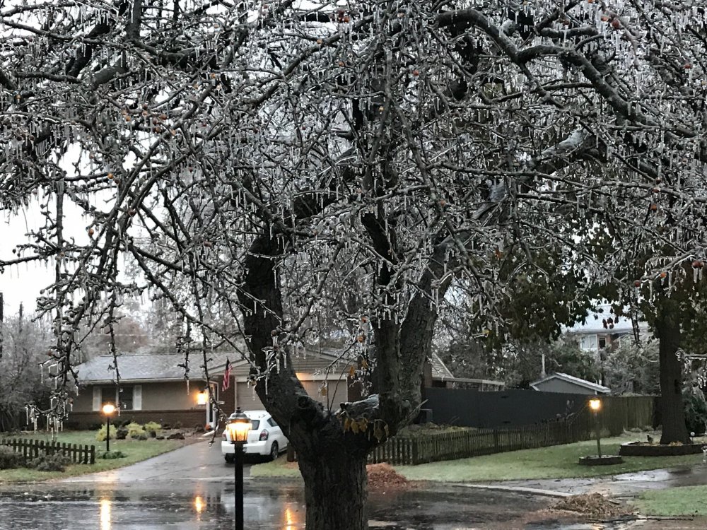
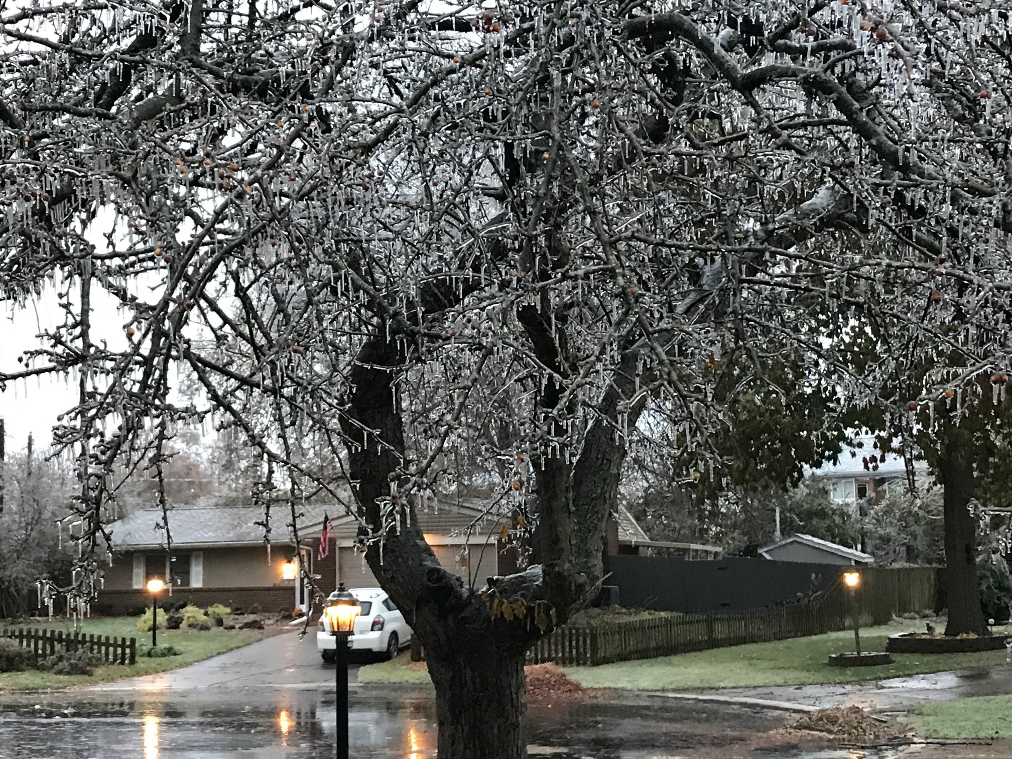
Haven't been out to survey damage yet. Do see limbs down in my yard and neighbor's yard.
-
1
-
-
Living in NW suburbs of Chicago, January 1979 is the one for me. Was my senior year of high school, think we had a whole week off from school. Spent the days shoveling neighbors' driveways up and down the street. I was around for the great blizzard of 1967 but was too young to remember anything about it.
-
2
-
-
37 minutes ago, snowlover2 said:
Tornado on ground NE of Dayton near Urbana.
Same storm? Time stamps in your differ.
http://kamala.cod.edu/offs/KILN/1808010104.wfus51.html
323
WFUS51 KILN 010104
TORILN
OHC021-091-010130-
/O.NEW.KILN.TO.W.0015.180801T0104Z-180801T0130Z/
BULLETIN - EAS ACTIVATION REQUESTED
TORNADO WARNING
NATIONAL WEATHER SERVICE WILMINGTON OH
904 PM EDT TUE JUL 31 2018
THE NATIONAL WEATHER SERVICE IN WILMINGTON HAS ISSUED A
* TORNADO WARNING FOR...
NORTHEASTERN CHAMPAIGN COUNTY IN WEST CENTRAL OHIO...
SOUTHEASTERN LOGAN COUNTY IN WEST CENTRAL OHIO...
* UNTIL 930 PM EDT.
* AT 904 PM EDT, A SEVERE THUNDERSTORM CAPABLE OF PRODUCING A TORNADO
WAS LOCATED NEAR WEST LIBERTY, MOVING NORTHEAST AT 20 MPH.
HAZARD...TORNADO.
SOURCE...RADAR INDICATED ROTATION.
IMPACT...FLYING DEBRIS WILL BE DANGEROUS TO THOSE CAUGHT WITHOUT
SHELTER. MOBILE HOMES WILL BE DAMAGED OR DESTROYED.
DAMAGE TO ROOFS, WINDOWS, AND VEHICLES WILL OCCUR. TREE
DAMAGE IS LIKELY.
* LOCATIONS IMPACTED INCLUDE...
WEST LIBERTY, NORTH LEWISBURG, VALLEY HI, MINGO, PICKRELLTOWN,
KENNARD, MIDDLEBURG, CABLE AND EAST LIBERTY.
Autumn/Winter 2019-2020 Banter/Complaint Thread
in Lakes/Ohio Valley
Posted
Get to the Air Force Museum while you're in town. A must see when in the area.