

mweisenfeld
-
Posts
87 -
Joined
-
Last visited
Content Type
Profiles
Blogs
Forums
American Weather
Media Demo
Store
Gallery
Posts posted by mweisenfeld
-
-
43 in Western Essex County, has been holding steady for several hours
-
I'm here for the free mapsThe OPC surface prog may give you an idea why the warmer solutions are in play
Dual Lows on the front
if you are smart enough to login to the forum
you are smart enough to make your own forecast -imho
or just follow the smart ass poster you trust
Sent from my SM-T510 using Tapatalk
-
19 minutes ago, LibertyBell said:
sure and in all my 40 plus years I have never ever lost power in ANY winter storm of any type and I've seen them all.
It happens in hurricanes and thunderstorm events like you said.
Happens here on a regular basis every few years. Guess PSE&G is just not as good as Con Ed.
-
33 and raining in Maplewood
Sent from my BKL-L04 using Tapatalk -
31*, still snowing in Maplewood NJ
Sent from my BKL-L04 using Tapatalk -
Snowing, grass covered, in Essex County NJ
Sent from my SM-T510 using Tapatalk -
2 minutes ago, dmillz25 said:
NJ
Wild. Nothing like that here on the Maplewood/Irvington border, but some serious lightning strikes on the other side of town by the reservation
-
6 minutes ago, wdrag said:
I have not checked any NWS discussions... but fwiw, while this mornings boxed late morning TR+ ne PA into se NYS and NW CT had some semblance of a PRE, that wasn't it and I doubt very much if anyone is talking about PRE in our area, BUT if they are, I'd like to know which discussion. Thread post outlined the researcher criteria. The even stronger WAR did not permit the cool front down here so wasn't able to gin it up here. Instead, we get the real deal TC.
Upton is only talking about the TC, nothing about a PRE in their disco or local hurricane statement
-
 1
1
-
-
31 minutes ago, forkyfork said:
brief dime sized hail in springfield
Springfield which state?
-
9 minutes ago, ChickenMan888 said:
Woah, what happened? All the snow totals dropped
What happened is the HRRR is not particularly accurate at this time range.
-
 1
1
-
-
In the disco nwsny specifically notes not posting a watch in part to avoid confusion with current conditionsIt's Monday morning and the storm isn't supposed to start until late Wednesday afternoon. Watches typically aren't hoisted until 36-48 hours prior to the start. I'm sure if everything holds you will see watches with the afternoon update.
Sent from my SM-T510 using Tapatalk
-
1 minute ago, David-LI said:
Really? We never getting NAMed again?? That sucks
Is the thought that the hi-res is sufficient, or is that going, too?
-
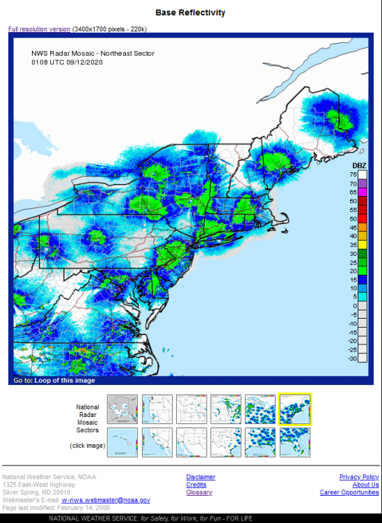
Anyone have any idea what's happening with the radar tonight?
-
Moderate snow in western essex cty. 30f
-
Nothing yet here in western Essex County, NJ, radar showing virga

February 3-4 significant icing event for the interior, some sleet/snow possible. Coast mostly rain.
in New York City Metro
Posted
Looks like the cold front is set up just east of you right now.
I'm at 42, down less than a degree since sunset