

itsdnice
-
Posts
158 -
Joined
-
Last visited
Content Type
Profiles
Blogs
Forums
American Weather
Media Demo
Store
Gallery
Posts posted by itsdnice
-
-
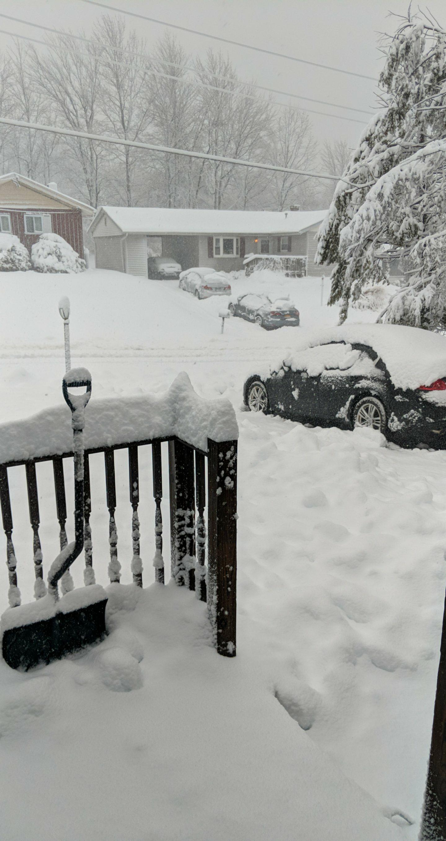
Shoveled a few times already

-
 2
2
-
-
... Winter Storm Warning in effect from 4 am to 10 PM EST
Wednesday...

* what... heavy mixed precipitation. Total snow accumulations of 6
  to 9 inches, with localized amounts up to 11 inches, are
  expected. Ice accretions up to one tenth of an inch are also
  anticipated.

* Where... Sullivan County.

* When... from 4 am to 10 PM EST Wednesday. Steady snow is first
  expected to develop between 7 and 8 am. The heaviest snowfall
  rates, at times 1 to 2 inches per hour, should occur between
  roughly 9 am and 2 PM. Snow is expected to mix with, or change
  over to sleet and freezing rain, during the afternoon. Steady
  precipitation should end during the evening.

* Additional details... plan on difficult travel conditions,
  including during the morning commute on Wednesday. Be prepared
  for significant reductions in visibility at times.
-
I like where I am for this upcoming one
-
1
-
-
Woke up to about 2 inches with steady flakes coming down. Monticello high school and I'm assuming others in the county are closed.
-
1
-
-
Looking forward to seeing some snow , nice little event to start us off.
-
1
-
-
Flurries in Beacon NY

Interior burbs - late season snow 22nd/23rd
in New York City Metro
Posted
I'll be happy to see just about anything now")