

NY WeatherMom
-
Posts
39 -
Joined
-
Last visited
Content Type
Profiles
Blogs
Forums
American Weather
Media Demo
Store
Gallery
Posts posted by NY WeatherMom
-
-
Definitely going to be a cold one in the morning. Keep an ear out to the radio's-could be issues with some school district's who's buses don't have them plugged in for the weekend. I know the district I drove for, mechanics came in as early as 4:30 to get 200+ buses going-some need help big time when it's below 0º. Hope this is the only cold snap like this for the winter-snow I can deal with. Waiting out for a school bus in below 0º weather just stinks.
Any calls yet about this up coming storm for this area-or are the models still not in agreement of a big storm?
-
Great AFD out of Albany...
.LONG TERM /MONDAY NIGHT THROUGH FRIDAY/...
THE LONG TERM FEATURES A POTENTIAL SIGNIFICANT EAST COAST SNOWSTORM
THAT LOOKS TO IMPACT THE NORTHEAST LATE TUESDAY INTO THURSDAY. AN
OVERVIEW OF THE LARGE SCALE TELECONNECTION INDICES FOR THE EXTENDED
TIME FRAME DEPICT A STRONG +PNA...COUPLED WITH AN -AO INDICATIVE OF
A HIGH AMPLIFIED MERIDIONAL PATTERN OVER THE CONUS. THE NAO IS
ACTUALLY WEAKLY NEGATIVE...AND TRENDING NEUTRAL. CSTAR RESEARCH
WITH THE UNIVERSITY AT ALBANY 5-7 YEARS AGO HAS SHOWN A +PNA WITH A
NEUTRAL TRENDING NAO PATTERN CAN BE A WARNING FLAG FOR A POTENTIAL
MAJOR EAST COAST WINTER CYCLONE. THE ALY FCST OFFICE HAS HAD THIS
STORM IN THE HAZARDOUS WEATHER OUTLOOK THE PAST FEW DAYS...AND WE
WILL CONTINUE TO HIGHLIGHT THE THREAT OF A BLOCKBUSTER WINTER STORM
IN THAT PRODUCT.
MONDAY NIGHT...A FRIGID AIR MASS WILL REMAIN ENTRENCHED OVER THE
NORTHEAST WITH ARCTIC HIGH PRESSURE OVER NY AND NEW ENGLAND. LOWS
WILL BE 0 TO 10 BELOW FROM THE CAPITAL DISTRICT SOUTH...AND 10 TO 20
BELOW TO THE NORTH. MEANWHILE...AN IMPRESSIVE SOUTHERN STREAM
DISTURBANCE IS MOVING OVER THE LOWER MS RIVER VALLEY...AND THE NRN
GULF...WITH A SECOND DISTURBANCE MOVING ACROSS THE UPPER MIDWEST.
TUESDAY...THE ECMWF...CAN GGEM...GEFS MEAN...AND HPC ARE IN GOOD
AGREEMENT AN AREA OF UPPER LEVEL DIFFLUENCE SETS UP OVER THE MID
ATLANTIC REGION/NORTHEAST...AS AN IMPRESSIVE CYCLONE FORMS OVER THE
DEEP SOUTHEAST. SIGNIFICANT CONVECTION MAY ERUPT OVER FLORIDA LATE
TUESDAY...AS A STRONG H500 UPPER TROUGH CARVES OUT OVER THE LOWER MS
RIVER VALLEY. LATE TUE SOME LIGHT SNOW MAY MOVE INTO THE SRN
FRINGES OF THE FCST AREA.
TUESDAY NIGHT THRU WED NIGHT...WE HAVE FOLLOWED AN HPC/ECMWF/GEFS
MEAN SCENARIO FOR A MILLER TYPE-A WINTER CYCLONE TO FORM NEAR THE
SC/GA COAST TUE NIGHT. OVER RUNNING PCPN WILL OCCUR WELL IN ADVANCE
OF THE WAVE...AS COLD AIR DAMMING CONTINUES WITH THE ARCTIC HIGH
SLOWLY RETREATING EAST OF NOVA SCOTIA. WE PLACED LOW CHANCES OF
SNOW FROM THE CAPITAL REGION SOUTH...AND SLIGHT CHANCES TO THE
NORTH...AS IT MAY TAKE TIME FOR THE COLUMN TO SATURATE. THE GFS HAS
TROUBLE PHASING THE ENERGY ON WED FOR THE MAJOR CYCLONE...WITH THE
ECMWF...CAN GGEM...AND HPC RIDING THE STORM ALONG THE EAST COAST.
WE ARE LOOKING AT A POTENTIAL 1-2"+ INCH QPF EVENT IF THE ECMWF
AND CAN GGEM IS RIGHT. THE 12Z GFS LOOKS LIKE AN OUTLIER WITH THE
ERN MOST TRACK OF THE ENVELOPE OF POTENTIAL SOLUTIONS. WE HAVE
GONE WITH HIGH CHC POPS WED-WED NIGHT. THIS STORM MAY HAVE SOME
MIX PCPN SOUTH AND EAST OF THE CAPITAL REGION...IF IT HUGS THE
COAST. WE KEPT THE PCPN...AS SNOW...AND IF IT MATERIALIZES WE MAY
NEED YARD STICKS TO MEASURE THE SNOWFALL...SINCE A TREMENDOUS
MOISTURE FETCH IS EXPECTED FROM THE GULF OF MEXICO AND ATLANTIC.
AN ANOMALOUS LOW LEVEL JET IS LIKELY TO FORM FROM THE E/NE
If this pans out-this could be the biggie of this season.
 Right now some of these parking lots-Shoprite in Fishkill has HUGE snow mounds -there's nowhere left to put it. But if it's tapping the moisture and dragging it north-that's always a dumping around here-just hope we avoid dry slots.
 -
This is starting to feel like the winter of 95 in someways. This week sure has a lot of interesting days coming up. Just as long as Dutchess County does better plowing than they did that year-it was a nightmare driving a school bus around on ice-snow packed roads.
Anyone think we may stay on the colder side once again being in the valley where we see more snow than ice?
-
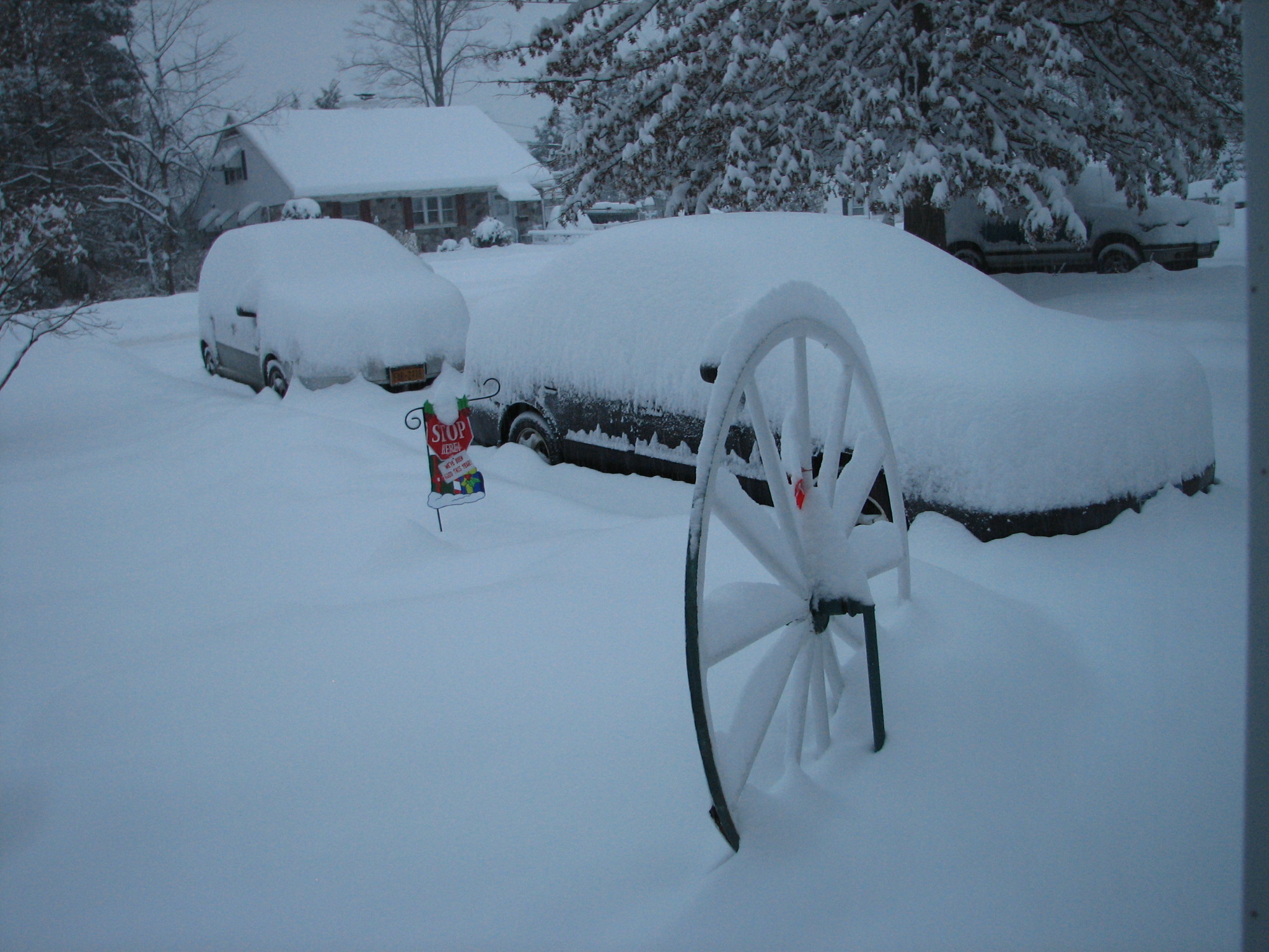
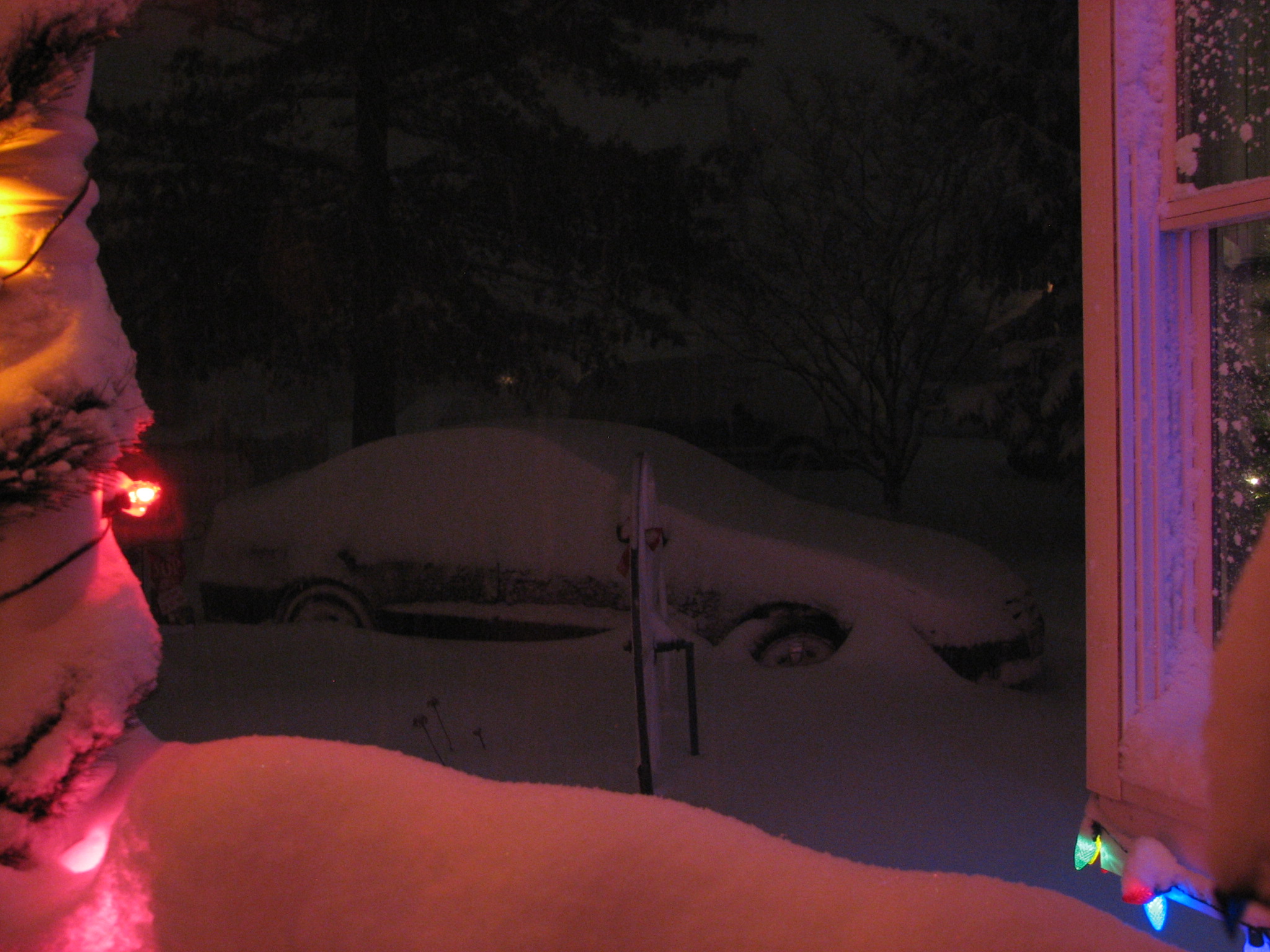
Somewhere under this are my kids cars. That was taken around 7:15 this morning. Still coming down pretty good. We are under a state of emergency here-saw my first plow about 5 mins ago and I've been up since 6. Still coming down-not really heavy-but it's steady. I figure we've got close to 10 inches out there.
-
Another Feb storm-bring it on-as long as we don't lose power again!

-
I hope we do get it-and LI gets buried. Sadistic-nope. Just want the guy who owns our company to share in the wealth-he wants us all to come in-even in snow emergencies. As long was we don't lose power over it all-it could be a snow of epic proportions.

Seriously, I am liking what I am reading, but we are still a few days out. I'd like to see us again in the bullseye and no dry slots come in. Right now we are down at 25º and still cloudy. Happy Snow Watch!
-
Just a quick question for anyone here. Do we have final snow fall totals for the 2010 year-specifically Dutchess County? I have a bet with one of my kids of how much we had.
I figure close to 57. We had the 30 or so in Feb. and then close to 20 here in December. Do I have a chance to win this? LOL -
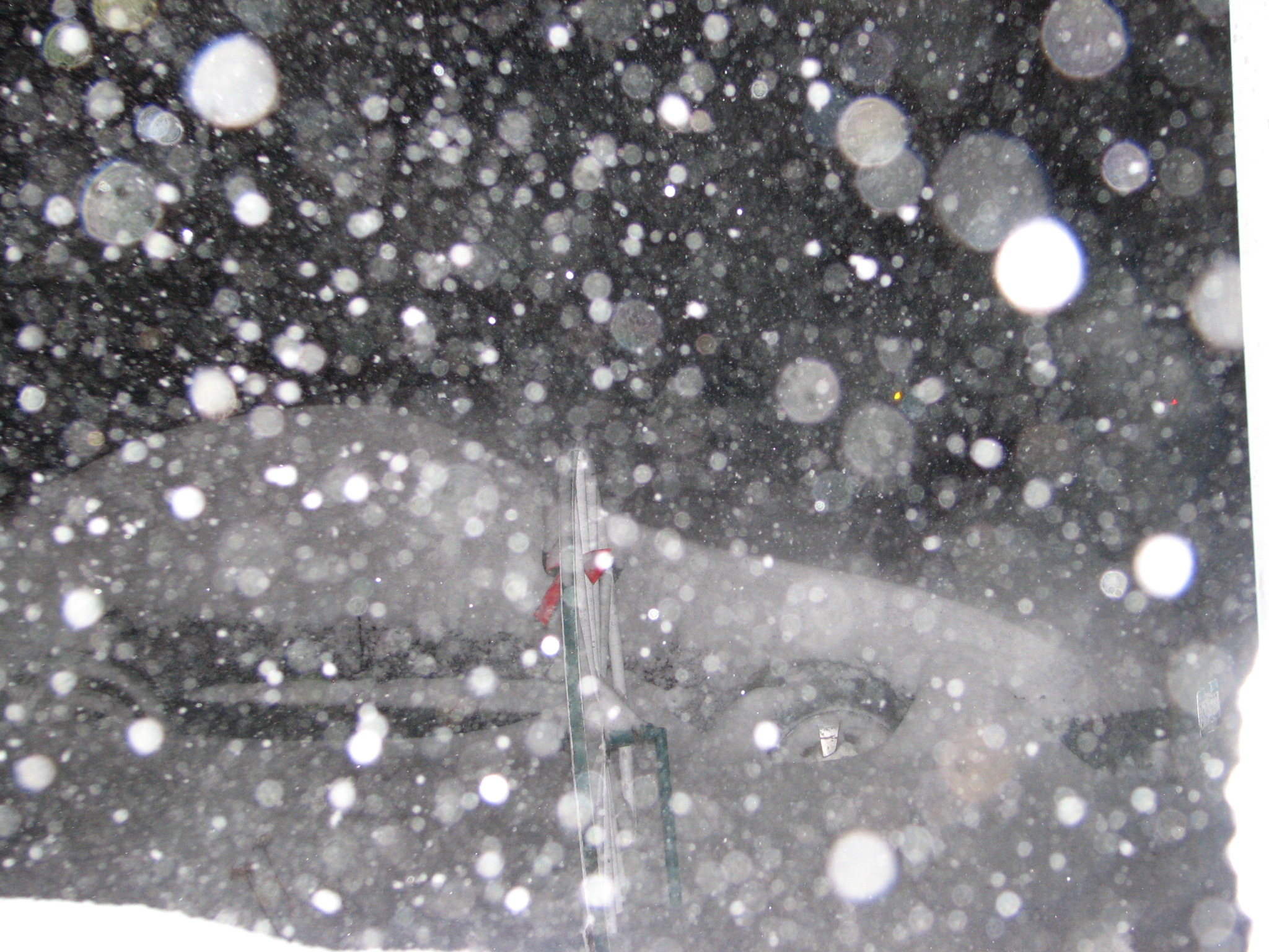
Here's a shot using the flash-way too much snow coming down for that.
-
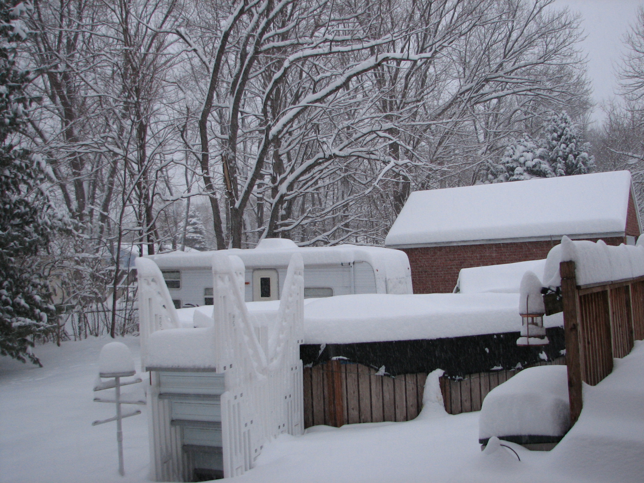
Good to be back-glad I found you all again. Here's some shots I just took-one of my kids car is buried-and poor Frosty is bowing all the way down to the ground. But you can see how much we've gotten here so far tonight in lower Southern Dutchess.
-
Hello everyone-long time no see.
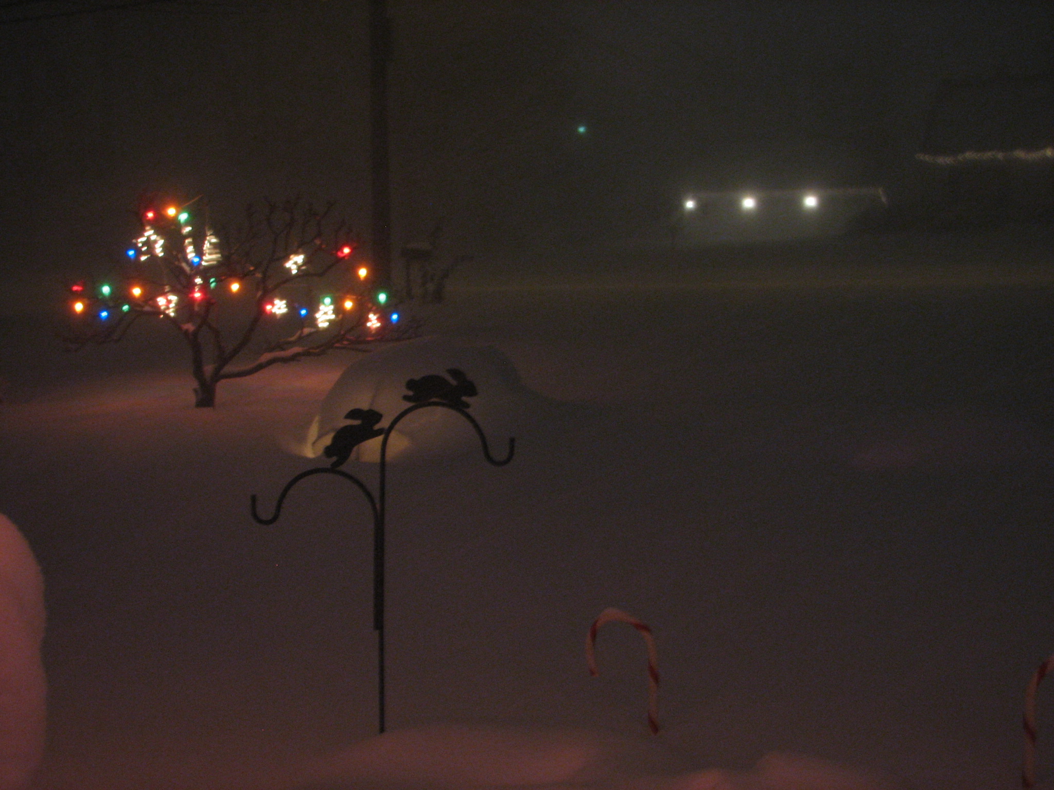
Snowing pretty good down here in Southern Dutchess County. I wish I could give you a accurate total-but the winds are playing havoc on the deck this time-best guesstimate is about 6 so far. At least we aren't looking like we had back in Feb with this storm. Snowing pretty heavily still-waiting for some good thundersnow-that would be a nice touch.
The Hudson Valley Thread
in Upstate New York/Pennsylvania
Posted
It's a cold start here. -12º. Too cold for me-heading out to put one of my kids on the bus. Brrrrr!