

London snowsquall
-
Posts
326 -
Joined
-
Last visited
Content Type
Profiles
Blogs
Forums
American Weather
Media Demo
Store
Gallery
Posts posted by London snowsquall
-
-
29 minutes ago, Torchageddon said:
Hanover
Good area for squalls, but not as good as Owen Sound. The in-laws come from Midland - that's prime too. How much snow on the ground?
-
13 minutes ago, Torchageddon said:
Classic. I'm in between the bands in SON so I got mostly sunny skies this morning while up north they are being rocked.
Where exactly are you located - north of Listowel? Always wondered....
-
7 hours ago, buckeye said:
The blizzard was a different animal, one like many weenies here have never experienced, and it has little to do with snow totals. 6" of snow with an over performing clipper is one thing, 6" of snow coming in with a flash freeze 30 degree drop in temps and 60-70 mph gusts that lasted an entire day, is another universe. When you get a blizzard like that, snow amounts don't make a huge difference, it all ends up in huge drifts anyway. Also, widespread power outtages, structural damage from the wind, and impossible travel for days. Pressure reached something like 28.22 which is like a strong hurricane.
To your point, I'm sure we would have had better warning and time to prepare vs. 44 years ago. It would be a fun one to track with today's model availability. I can only imagine what some of the models would have been spitting out. The nam probably would have exploded.
Agreed. Seems there is occasional casual use of the terms blizzard or whiteout by some, for situations that do not come close to qualifying. A foot and a half of snow, wind gusts to 80mph and zero visibility for nine straight hours meant a blizzard of unique ferocity. Never seen anything since that has even come close. Eight people died here, including some who got lost in the storm and froze to death, and a family of 5 who died in their stranded vehicle waiting for rescue from the highway. I wonder how many on this board experienced this storm.
-
 1
1
-
-
4 minutes ago, Snowstorms said:
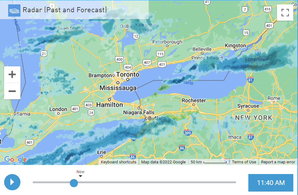
I think even London is scoring with this storm, no?
Yeah my friend had to go into the office today to pick up some paper work. Normally takes him 15-20 minutes via 427 but he's still not there and it's been an hour.
It snowed for a couple hours last night and then basically nothing for the night. It started up again around 6 this morning and has been going since then. We maybe have 5-10cms for the storm so far, so not a total fail. We are basically a synoptic wasteland here, so reading the comments from the Rochester/Syracuse folks it's easy to relate. The comments on here are great! I used to follow the Lakes subforum, but it's been highjacked by the Chicago weenies, so I think I'll spend a lot more time here. At least we can share LES futility sagas.
-
 2
2
-
-
11 minutes ago, Snowstorms said:
That's crazy!
 I just measured ~28.0cm (11.0").
Congrats to the Toronto folks. Most snow storm forecasts for T.O. fail, so nice to see this deliver for you guys. Must be chaos there now. I can only imagine the 400 series highways right now.
-
 3
3
-
-
A disappointment here in Ontario as well considering the hype and modelling. Flake size was small, snow started late and ended early. Fortunately we missed the sleet this far NW. Best action of this event has been this morning after the SLP was gone. L. Huron delivering with some N and NW winds. Good flake size and some blowing. Maybe some of you can cash in on these winds from L. Ontario later on.
-
4
-
-
18 minutes ago, WHEATCENT said:
I'm here for some Lake Effect


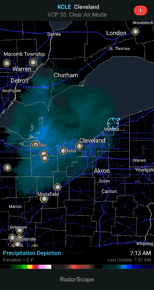
The storm here was a disappointment, similar to just about everyone east of the Detroit river. Late getting started, shut off early, and poor flake size. Missed out on the sleet tho'... Seems that LE has started up recently, and is the best snow of the whole event. Maybe you guys south of the lake can get some too. Good luck.
-
1
-
-
47 minutes ago, TugHillMatt said:
Thanks so much for the comment. Congrats on the LES! Feel free to stop in and share your reports more often. The past couple winters have been a challenge, haven't they?
Thanks for the comment. The snow is still coming down but intermittent at times. I'll have to go outside and shovel/snow blow again soon, but I'll take a measuring stick with me. I would guess every winter since 2010 has been below what was our normal seasonal total of 80". The local weather office has stopped giving official yearly snow totals so I can't verify and I don't keep track myself - just my hunch. I would think you would benefit off a NW wind with some moisture in it, no??
-
LES has been mostly terrible this season (and a few years running) up until last night. With the NW winds we have picked up at least a foot since last night and it's been intermittently snowing most of the day so not sure what the final total will be. The HHRR model run from 00z Friday morning picked up on the big potential. Finally looks like mid-winter.
-
2
-
-
12 hours ago, TugHillMatt said:
One of my buddies is from London, Ontario. They can get some pretty amazing lake effect snow bands there! Looks like they're getting hit nicely right now.
I'm also from London. We probably got about a foot. It will likely compact to a couple of inches it's so fluffy, but at least it looks like winter. The LES events don't happen like they used to here, so I can relate to the pain expressed on this regional forum. I usually lurk on the Lakes forum and don't post much but come over here fairly regularly to see if you guys are making out better than us. I keep wasting time following synoptic snow threats that fizzle to nothing or give a whopping inch or two, but I can't seem to help myself. Weather addiction at play.......
-
2
-
3
-
-
5 minutes ago, OHweather said:
12z NAM was definitely a bit more encouraging in terms of bringing the winds around to the WNW...we'd definitely get the band to set up farther south if that verified. Hopefully it's a trend and not a one run blip. The GFS consistently brings winds around too far NW with lake effect events so I've started ignoring it lately.
Getting a more northerly flow would certainly be nice. The last event missed us to the north just like most of the Ohio posters.
-
48 minutes ago, NEOH said:
Looks like the models have the abandoned the big cutter idea thankfully. Otherwise OH Weather's nightmare scenario would probably happen. Let's just get the wind around from 280 or more and we'll be in business. Nice look on the models right now... hopefully it holds.
Agreed. Approx. 280-310 would work very nicely. I've seen enough of the SWerlys over the last couple of years.....
-
Could see a nice burst of snow with the arctic front and a wide open lake. Winds come around from 320 -330. Not enough to get a huron connection. W PA should do well.
AN ARCTIC FRONT WILL MOVE TOWARDS THE REGION EARLY FRIDAY. SWWINDS WILL BEGIN TO BACK TO THE WEST BY MIDDAY AS THE FRONTADVANCES. TEMPERATURES WILL FALL QUICKLY BEHIND THE FRONT AS MUCH COLDER AIR MOVES IN. THIS WILL TRIGGER SOME LAKE EFFECT BANDSFAIRLY RAPIDLY AS THE LAPSE RATES CLIMB. THE FIRST BAND WILL LIKELY CLIP LAKESHORE ERIE/ASHTABULA BY FRIDAY AFTERNOON WITHPERIODS OF MODERATE TO HEAVY SNOW. COULD SEE A QUICK 3 TO 5 INCHES IF THE BAND MOVES ONSHORE. THE NW FLOW WILL REMAIN OVER THE REGIONFRIDAY NIGHT INTO SATURDAY WITH SUPPORT FOR ONGOING LAKE EFFECT. LOOK FOR HURON BANDS TO ENHANCE SNOW AMOUNTS. THE BEST ESTIMATESFOR THE EVENT IS AREAS IN ASHTABULA/ERIE/CRAWFORD OF 8-12". OUTSIDE OF THE SNOWBELT SNOW AMOUNTS WILL BE LIMITED TO AROUND ANINCH OR LESS AS THE SYSTEM IS MOISTURE STARVED. SNOW RATIOS WILL BE PUSHING 20 TO 1 AT TIMES SO SNOW AMOUNTS COULD QUICKLYACCUMULATE WITH BANDS.
Round 2 in the cards this weekend? If it's 320-330 up here I may miss this one to the west. I do live on the west side of the city, so I may luck out....
-
Congrats on the snow. It was long overdue.
Thanks. How much do you have there? You and I usually feast or more often famine as I think you are south of the lake no?
We both need some northerly wind component or for the most part we're getting nothing of note.
-
Awesome congrats! There was a pretty large area that got 8"+.
Thanks. Your totals are considerably higher than here, but it's nice that both areas have finally got some LES. It's been a long wait.
-
Finally got some snow here as well from L. Huron. Last night I was a bit pissed last night when you Ohio guys were getting it and we were shut out, but Huron finally delivered and it's still snowing now. Probably 8+"
-
Story of the past 3 winters
I'm still waiting for that elusive multi day NW wind event, seems almost impossible in NE Ohio anymore to get that wind flow.I do remain optimistic for some decent accumulations later today. Should at least be some nice rates, even if short lived in spots.
It's getting kinda ridiculous. To date with this event, the London airport has recorded SWerly winds for most of the past 24 hours with a lone hrly observation of WNW. It's been snowing for the past 24 hours and I'm not sure we have 3 inches of accumulation.
Pretty lame considering this was supposed to be multi-period NWerlys. Maybe still to come??
-
Thanks go out to OHweather from me as well for the detailed posts. I always enjoy reading your writeups about LES. Very informative and detailed. Maybe we can get a reasonably good event out of this. If we do well in London SE of Huron, DTA and Trent should do OK as well. EC is now mentioning a few periods in the next few days of possible squalls here, so let the games begin.
-
That would be awful. I'm around 26" for the season so far. You folks just north probably have twice as much.
Picked up an inch last night.
Only 20" for the season across the lake in London as of yesterday alto' we are picking up some good stuff now on NW winds. If winds stay NW for a few hours as fcst maybe we can get a bit more. NW winds might help you guys too.
-
Thanks. You're right about the LES. We have certainly cashed in at various times, so no sense in whining too much......
I'm not enough of a met. expert to know why the winds have been so much out of the SW with these events. I can certainly understand the wind direction from the west, and the area just to my north in any normal winter gets a whole pile more than London, but maybe OHweather can chime in with an explanation. Maybe bad luck, maybe an element of GW - I don't know. I know it's not just my imagination for 3 straight winters now...
-
Moving back to London on Thursday Alan. That'll be sure to worsen your already bad luck.
No worries there. Nice to have you back - I thought maybe you were done with London.
I've watched the radar for 2 wks and saw the area 30 miles north get pounded over and over again, and watched the snow die as it approaches London, so how much worse can it get if you want the snow?? Maybe you'll be a snow magnet.....
I think I'll follow the Ohio LES folks more closely. We seem to share in a lot of the same sort of successes and failures with LES and vainly looking at the winds to take on some sort of northern orientation. I can give them advance warning when they are going to be screwed over.

-
Sitting at a 48 hour total of 2.8" here.
I give the storm at the end of the week a 10% chance it does anything in NE Ohio.
I feel your pain........... grass tips still showing here. Probably an inch or two at best over the last week. The winds are NWerly for the top half of L. Huron and then go straight westerly or SWerly down by me - been watching this go on for almost 3 years. The occasional LES event drops a few inches but nothing seems able to lock in the good winds for any length of time with the other favourable parameters req'd. We get NWerlys in March which do jack-----.
Pre-Christmas (Dec 21-23rd) Winter Storm Part 2
in Lakes/Ohio Valley
Posted
Currently in prince Edward county west of Kingston ON just north of lake Ontario. Blizzard conditions most of the time. Son in law rescued local farmer lost in a nearby field. He was totally lost and disoriented. The local road in front of daughter's house is impassable with 5 ft. drifts. Top wind gust locally to 128kph. Here - this is definitely a blizzard.