

jgentworth
-
Posts
6 -
Joined
-
Last visited
Content Type
Profiles
Blogs
Forums
American Weather
Media Demo
Store
Gallery
Posts posted by jgentworth
-
-
2 minutes ago, MillvilleWx said:
The HRRR couldn’t even get the storm right while it was happening earlier this week. I would ignore it until it gets a clue. Other hi-res and ECMWF are your best bets at the moment.
Agreed - it kept showing a giant dry slot from Front Royal up through Loudoun to Gettysburg which had me concerned but Radar and my eyeballs said otherwise.
-
 1
1
-
-
18z HRRR seems to be drier than the 12z NAM by a bit. But we're talking 15-20hrs on the HRRR which I think is probably out of its range a bit.
-
1 minute ago, Terpeast said:
Another 4 inches on top of the 4 inches already OTG?
I take
The potential of the rare Snow on top of Snow event in Loudoun would be very much welcomed!
-
1 minute ago, MAG5035 said:
Some of the high res models were showing 10”+ on the top of the Allegheny front just west of here yesterday, which I thought was way over done. But maybe not given how hard it’s been snowing down here.
The HRRR has been going bonkers with the amounts on top of the mountains to your NW. I saw 38" this morning, then 24" on the 12z & 13z runs. It is keeping the snow & mix in higher elevations until 1pm
-
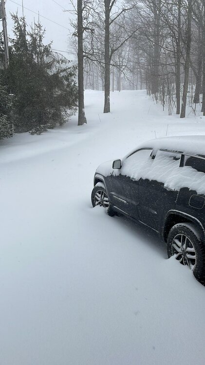
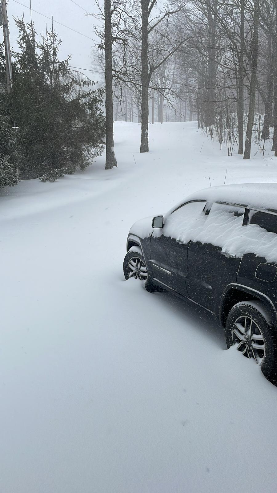
Indian Lake, PA checking in. What a wild morning. CAD is in place strong. Short range models have us staying Snow through 11am, then mixing until 1-2pm. Still have 5-8" before the change over. Have had near whiteout conditions when the wind gets going. 30° and heavy snow with 20-30mph winds.
-
4
-
 1
1
-
Jan 19th Snow on Snow: the this always works until it doesn't thread
in Mid Atlantic
Posted
Found out that the HRRR is triggering for folks here. Pretty awesome jump from 06z to 12z to 18z nonetheless.