

konksw
-
Posts
240 -
Joined
-
Last visited
Content Type
Profiles
Blogs
Forums
American Weather
Media Demo
Store
Gallery
Posts posted by konksw
-
-
Severe thunderstorms in Culpepper.
-
This weather sucks
-
 1
1
-
-
I feel like we’d be a lot more skeptical of cold and snow over a week out than we are now of cool and rain also over a week out.
-
1
-
-
Nice big slug of moisture about to cross the metro area
-
Tornado warning just NE of Richmond.
-
Hey look at that. It’s obnoxiously windy again.
-
8 minutes ago, wxdude64 said:
Managed to set a new 'warm minimum' with a 58.4 degree low, JUST breaking 2002's 58 degree mark. It has felt more like early June rather than mid/late April past few days. Oh, a giant 0.03 in the gauge this am, least it got wet lol.
I’m honestly not sure what late April is supposed to feel like. While trending warmer, spring has always been super swingy so the averages we arrive at are from half the days feeling like early march and the other half like Memorial Day weekend.
-
 1
1
-
-
I’m so tired of wind.
-
1
-
-
7 hours ago, Jebman said:
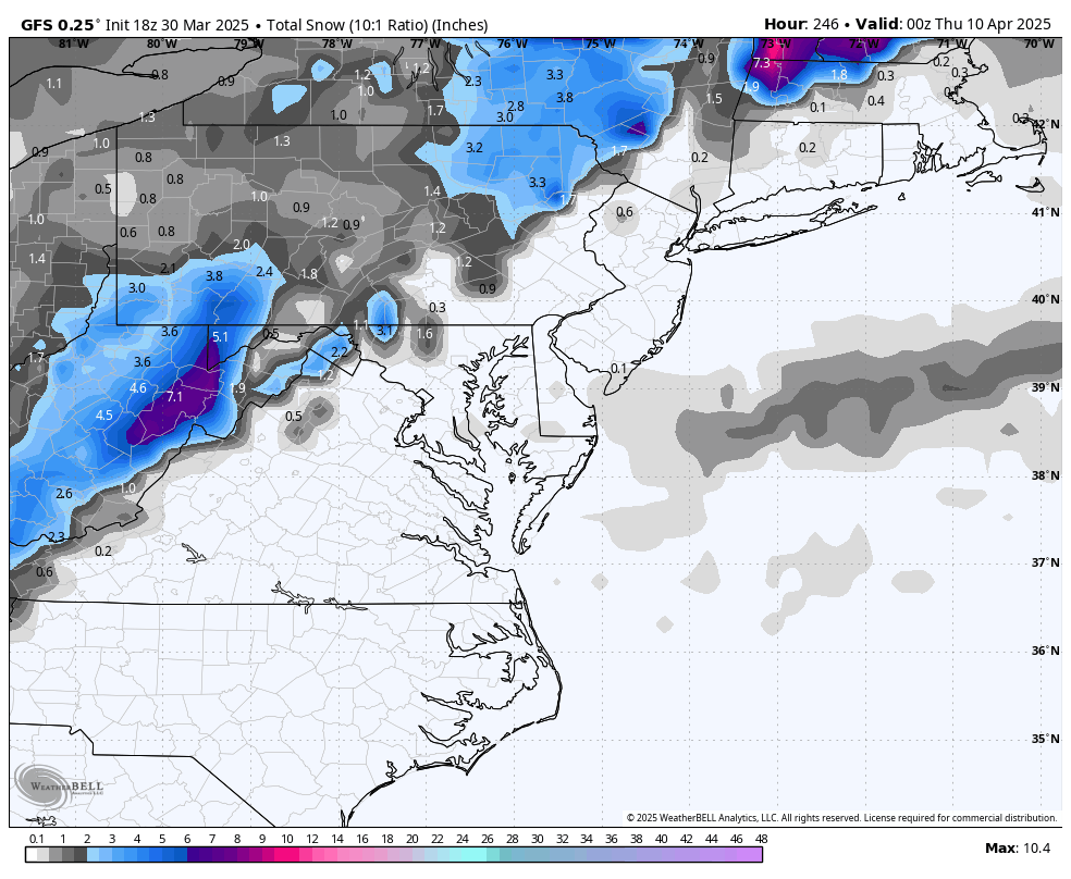
There is NEVER enough snow.
Look. I just want to put my winter clothes away. Too much bulk for my dresser and closet.
-
80.
-
29 minutes ago, dailylurker said:
But will it? Hopefully we don't get stuck in this all day.
The forecast has always been for cloudy but it’s a strong southwest flow that is really visible on satellite.
-
1
-
-
Pouring.
-
2 hours ago, Weather Will said:
WB 18Z GFS.... I am Not giving up yet....


How can you still want snow.
-
 2
2
-
-
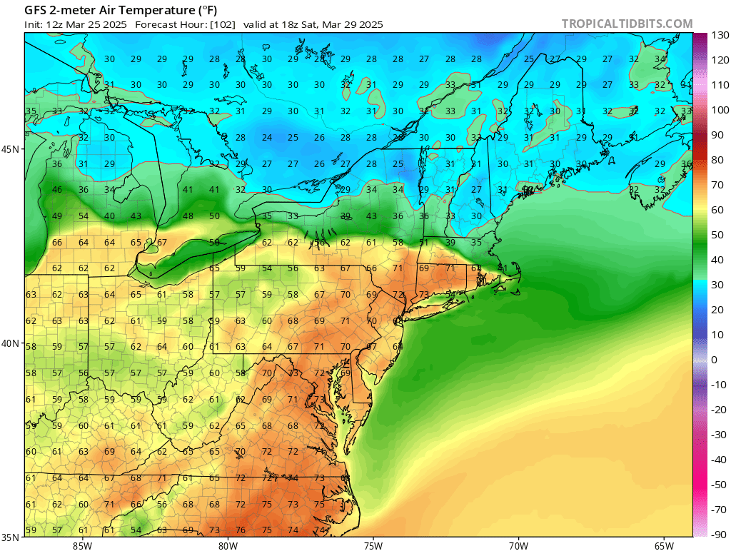
81 in NW DC.
-
Already over 70 in NW DC.
-
80 on my thermometer in NW DC. Feels so good.
-
It’s gonna be pushing 90 next week. It’s not gonna snow again lol.
-
Cherry blossoms Saturday are going to be a total shitshow.
-
GFS has caved to the hot weekend.

-
5
-
-
3 hours ago, Paleocene said:
Kids playing rec soccer at local parks, kicking up clouds of dust like we live in Amarillo. Rain is so 2010s
We just had a pretty decent soaking on Thursday
-
10 minutes ago, dailylurker said:
So.. in 7 days it's going to either be snowing and 30 or sunny and 80. LR forecasting sure has come a long way lol
Spring is the worst with it. I’m ready to get to “highs in the upper 80s with a chance of afternoon storms, some may be strong to severe” on repeat.
-
1
-
-
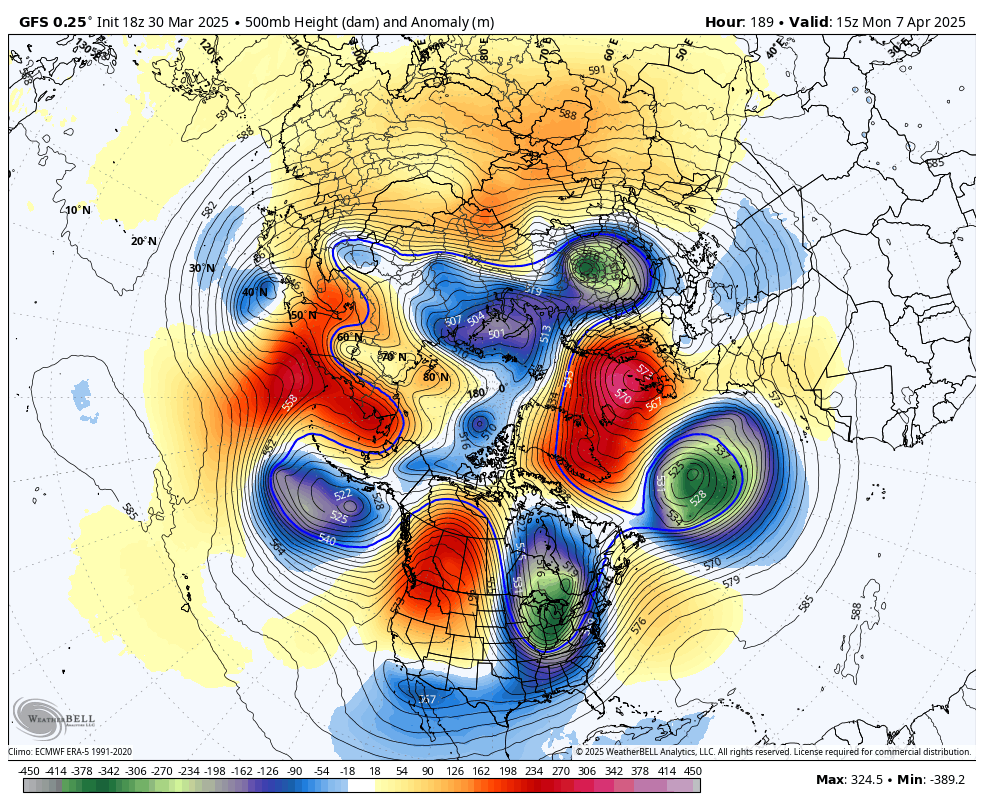
Fast forward to early April and it’s 80.
-
Let it go, Let it go.
-
March of late has just been too windy for me to really enjoy it that much.
-
1
-
June Medium/Long Range
in Mid Atlantic
Posted
Hmmm looks like a good chance for rain on Saturday for the parade. What a shame.