Phillifan22
-
Posts
50 -
Joined
-
Last visited
Content Type
Profiles
Blogs
Forums
American Weather
Media Demo
Store
Gallery
Posts posted by Phillifan22
-
-
Southern CNY near Oneonta getting pasted. Last night compared to this morning in Laurens NY


-
 1
1
-
-
I think Kuch method will do better in general with this event, catching the sub 10:1 ratios occurring until the wrap around precip starts with ratios climbing to 12-15:1.
Crush job for the hills south of 90, while the Mohawk Valley and other low lying areas south of the Tug/Adks could get hurt by downslope flow Friday morning, but its tough to say at this point.-
1
-
-
12z Para/FV3 pounding the Capital Region as well, as Wolfie stated earlier! Fingers crossed!

-
1
-
-
18z NAM giving me a nice amount near Albany!!!

-
1
-
-
What you’ve noted is not a coincidence. Studies have shown lake effect tends to weaken during the day (especially in late fall and early spring when daylight is longer and the sun angle is higher). This weakening is caused by a decrease in the temperature contrast as the air above and around the lake (as well as the land) warm. It goes back to the fundamental of lake effect, cold air over a warm lake.
I would love to see the band hit during the day. Seriously, every one of our heavier events has hit at night. They started usually with Sw flow during the afternoons, then shift West in the evenings, then NW overnight.
I actually meant to ask if this is a common set up with different variables, or just coincidence.
-
Just saw a report of 10” in Hannibal. Likely the hotspot of the event!
It's dumping here in hannibal, picked up easily 6-8" overnight. Another 3-6" today according to the news stations.
-
I’m probably crazy but I think BUFs snowfall maps from yesterday might be pretty accurate. The long duration of the event and ratios will really lead to some higher accumulations than expected. Which combined with the wiggly nature of the band could lead to some widespread 6-12”. Sure they might have been a bit too widespread, but nothing wrong with playing it safe.
-
Grew up in that general area, visit from time to time. Helped my in-laws do the lighting for a new coffee shop right in the middle of town a few months back. Has some good grocery stores and you’re not far from Oneida which has Lowe’s/Walmart too!
Thanks for the info. Did you live there or go to school there? Housing outside of the towns seems much more reasonable than right in.
Was surprised to find random stores like a Big Lots in Hamilton. Never seen one in a town that size.
-
1
-
-
Hamilton and Caz are really nice towns that get their fair share of snow, whether it be upslope enhancement during LES or just synoptic snow! Might be a bit more expensive housing/land due to the private (and pricey) universities, but they are worth it.
Band set up over me and is dumping. Hopefully it can stall out overnight.
Conclusions from our trip today:
Ithaca: wife liked it but I hated it. Way too suburban with an "all about me" vibe. Congestion. Yuck.
Cortland: We both really liked it. The downtown has a really neat "blast from the past" character. Big enough for all the amenities with beautiful countryside immediately outside of city.
Cazenovia and Hamilton: Nice towns with beautiful homes! All the homes in Hamilton have tiny plots for yards though. Colgate university there is beautiful and MUCH bigger than I had expected. Just from how it looks, I imagine it is an EXPENSIVE school.
Madison county also had a substantial amount of snow. Great thing is my wife is on board. Certainly not the Tug in terms of snow, but western Madison county averages about 125 inches.
-
 1
1
-
-
Well, as has been stated, gfs/fv3 pretty much winning on this one. Quick moving storm that will only give me 2-3” in ALB.
At least those of you in parts of Oswego Co will get hit! I’m quite jealous! My friends up at SUNY Oswego are excited they may finally get an event all to themselves! -
Holding out hope for an 8+” storm in Albany, but I have very low confidence. Model spread is scary. Euro or bust lol.
-
Got 5.8” near Schenectady, NY. Nice clipper event. I think the max was in CNY north of I-90.
As far as the next possible system, the Euro has been consistent, and its ensembles are tightening up, but there’s still plenty of disagreement amongst the models, so it’s far from a lock. Gonna be interesting to watch!-
2
-
-
10:1 ratio snowmap.

-
2
-
-
12Z euro for Sun/Mon

-
2
-
-
Impressive icing around and N of Buffalo if these reports are accurate.

-
1
-
-
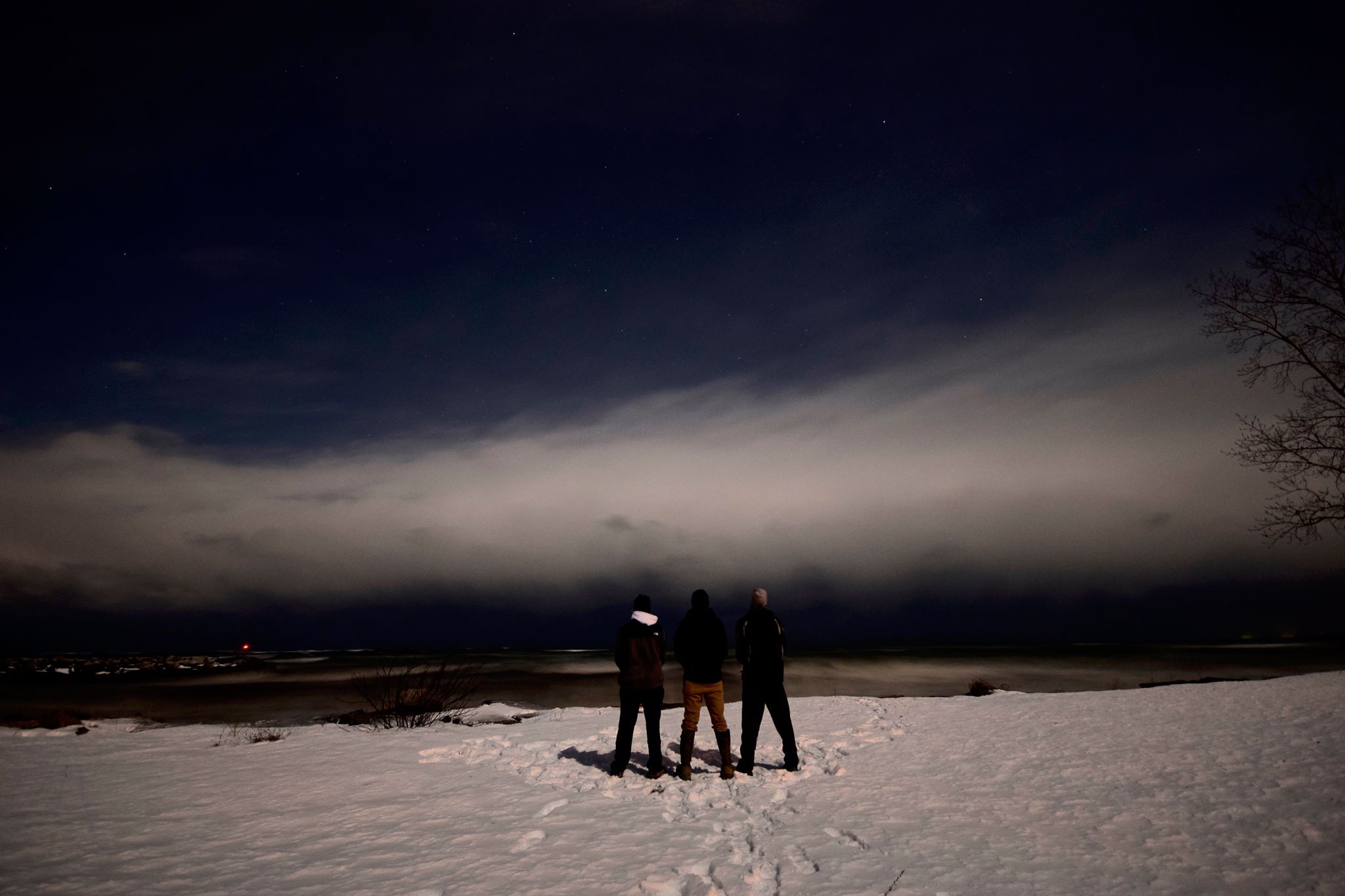
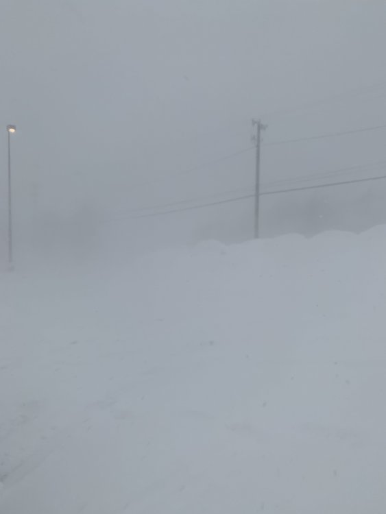
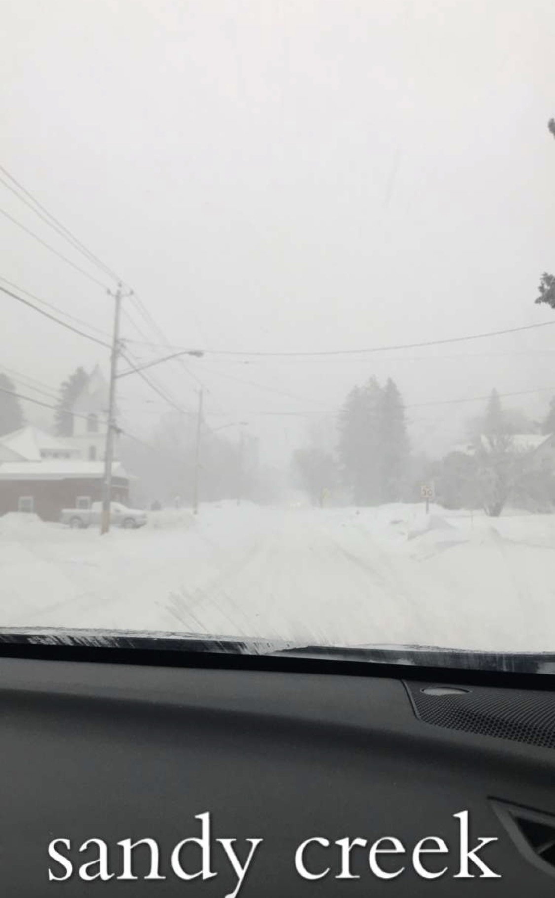
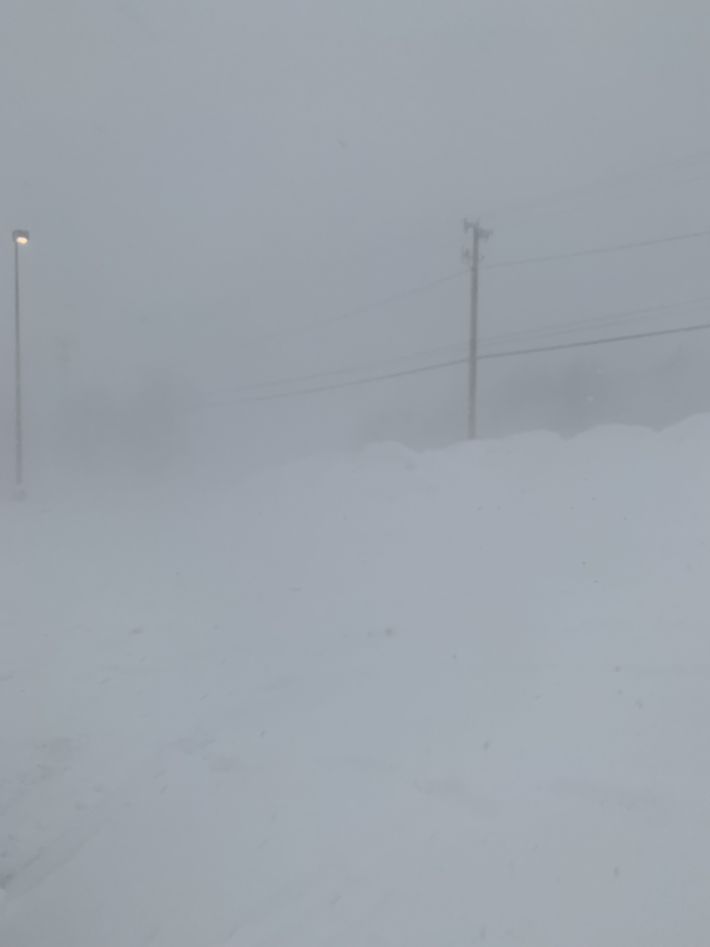
So here are my pics/vids from yesterday with some info about each.
View of the L.Ontario band over the Tug from the southern shoreline, taken Thursday morning - https://www.youtube.com/watch?v=9tUIvgJOCJ0
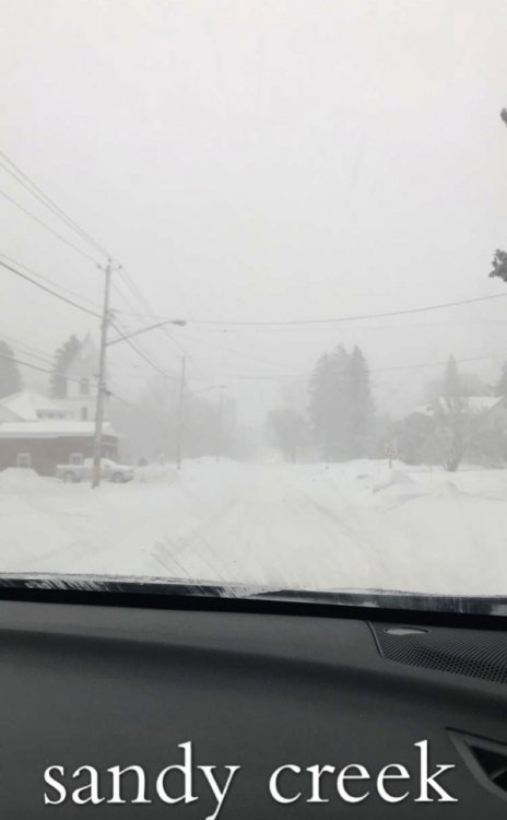
Picture taken Saturday morning in the town of Sandy Creek on the southern edge of the band
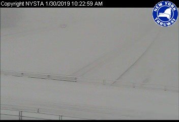
Video of the conditions on I-81 N near Adams, NY Saturday afternoon, on the southern edge of the band. Was very difficult to see and get off the exit ramp due to the combo of light falling snow and blowing snow:
Video of conditions getting back on I-81 N near Adams, NY. You can see an accident already had occurred (likely due to the extremely low VIS), and another car going way too fast almost ran into us too:
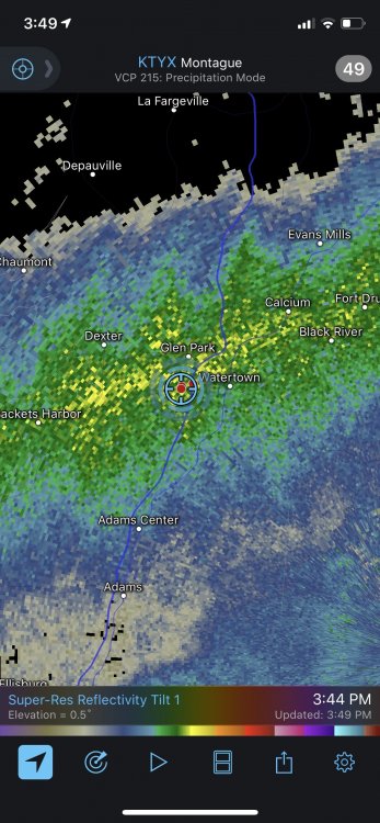
Videos, a picture, and radar/location screenshot from near TGI Friday's in Watertown. We measured 3.6" in one hour at this location (3:20-4:20PM). Visibility ranging from 0-500 ft.
https://www.youtube.com/watch?v=yekZIwQVywU
https://www.youtube.com/watch?v=p1BLLX4C168
And finally, video of ground blizzard conditions near Copenhagen, NY due to light falling snow, and SIGNIFICANT blowing snow Saturday evening. Had to come to a complete stop (like in the video) several times heading south on Rt. 12.
-
3
-
-
Looks like we’re done here. I’m pulling for you to get smoked [mention=925]TugHillMatt[/mention] & [mention=694]wolfie09[/mention].
Here are the last of the selected pics. Last video coming soon.


In the hour or so I was in Watertown this afternoon I saw 1 person walking, and it might have been you based on these pics! They got pummeled up there. I’ll post a few pics and vids from today soon.-
3
-
-
Band over Ontario starting to become more W-E oriented!
-
BW I know you pointed this out on traffic came last night. Saw this picture from Hamburg last night... Why does the band get that glowing effect???

.
It’s just lights from a town or city creating a glow on the underside of the clouds
. -
Kenmore the big winner so far at 15.7" as of 7AM this morning!
-
1
-
-
Well this looks fun...Hamburg exit
-
2
-
-
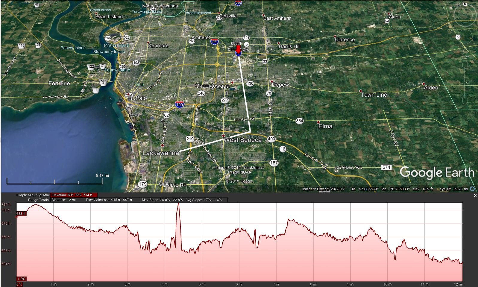
Might have an answer to the low-beam angle snow hole S/SW of the BUF radar. Plotted the elevation changes from the WSR-88D through the areas with the "hole" in the radar. You can see there's a bit of a hill JUST S/SW of the radar location, which could be the cause. Just a theory!

-
1
-
-
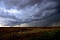
Almost looks a summertime squall line developing over Erie. Is that the artic front?
Yes that is the arctic front moving over the eastern end of Erie. You can see the lake effect firing up behind it from the CLE radar.
. -
If there is that much open water over the Western portion of Lake Erie, there is less ice then I thought. The western portion usually freezes completely over 7-10 days before the Deepest northeastern portion does.

There was some brief clearing in satellite images yesterday and Sunday, and it looked pretty wide open to me. I think the winds help keep it open all week.
.-
1
-

Upstate/Eastern New York
in Upstate New York/Pennsylvania
Posted
Anxiously awaiting a final report here. Have seen some pretty high totals on twitter.