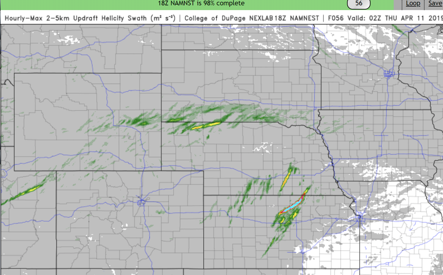
...DISCUSSION...
By day 4 (Thursday), somewhat greater moisture will be advected
northward ahead of the surface low with dewpoints in the 50s F. It
still appears likely that a band of storms will develop along the
trailing cold front as this boundary intercepts the destabilizing
boundary layer across the middle MS, OH and TN Valleys. Despite an
expected marginal thermodynamic environment, some risk for damaging
wind will exist given strength of low-mid level winds and strong
