
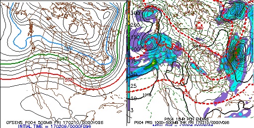
Models have come into pretty good agreement on a follow up wave impacting the region later this week. Details still to be ironed out but at a Day 3 lead the signal is strong. We have global indices favorable. As you see in the images there is a nice PNA spike and the AO is negative around the time of the storm. I would bot be surprised to see this come a bit closer to the coast with the PNA spiking like it is. Also enclosed are the EPS and GEFS from 00z and 06z. Nice solid >0.5" for mos