
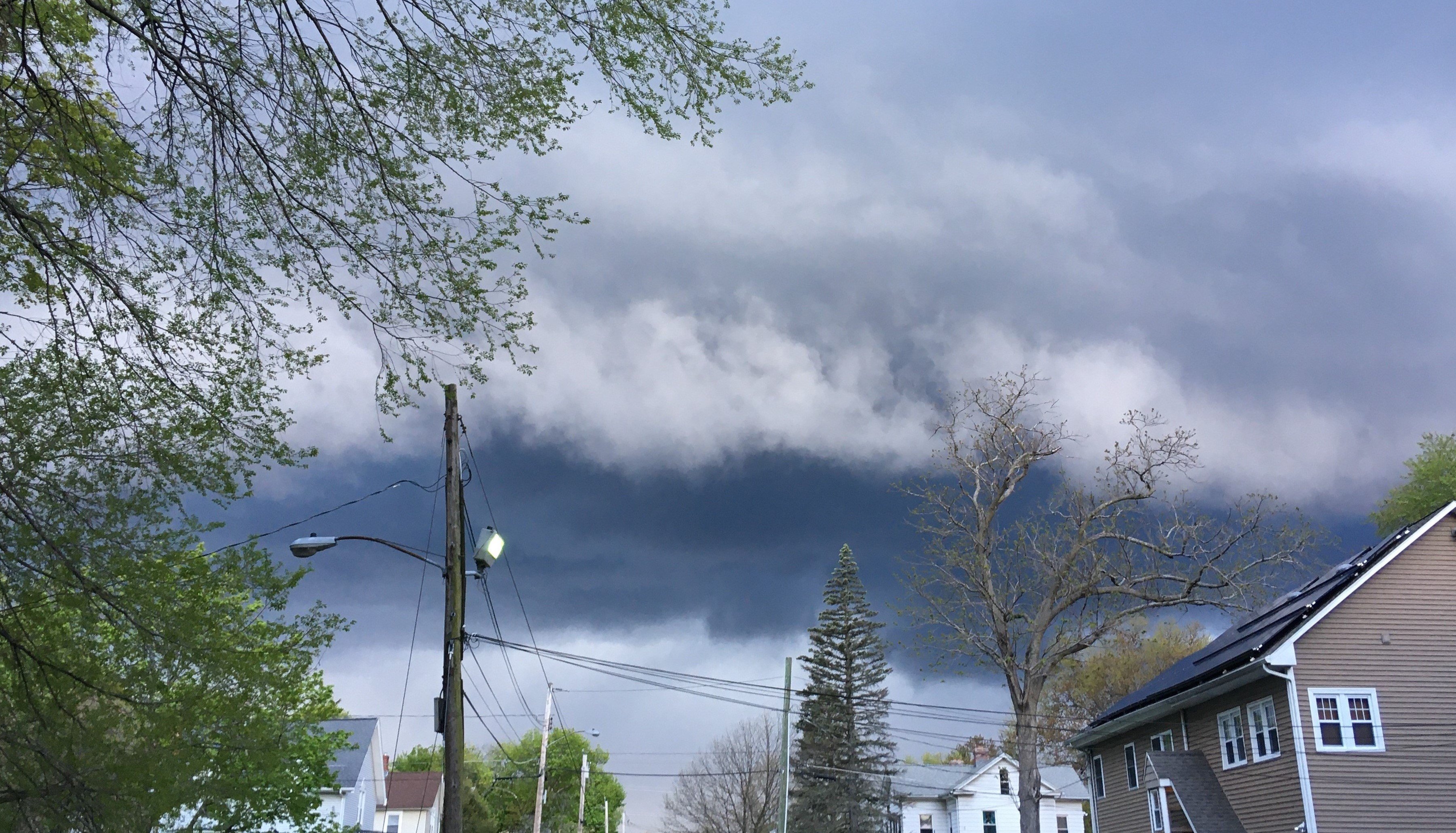
Another vigorous shortwave moves overhead during the day Monday with extremely unseasonably cold temperatures aloft yielding very steep mid-level lapse rates. Combination of surface heating and dewpoints into the 40’s will contribute several hundred J/KG of MLCAPE.
inverted-v signature on forecast soundings indicate potential for strong, gusty winds with any thunderstorms while the super cold air aloft will promote potential for small hail/grauple.