
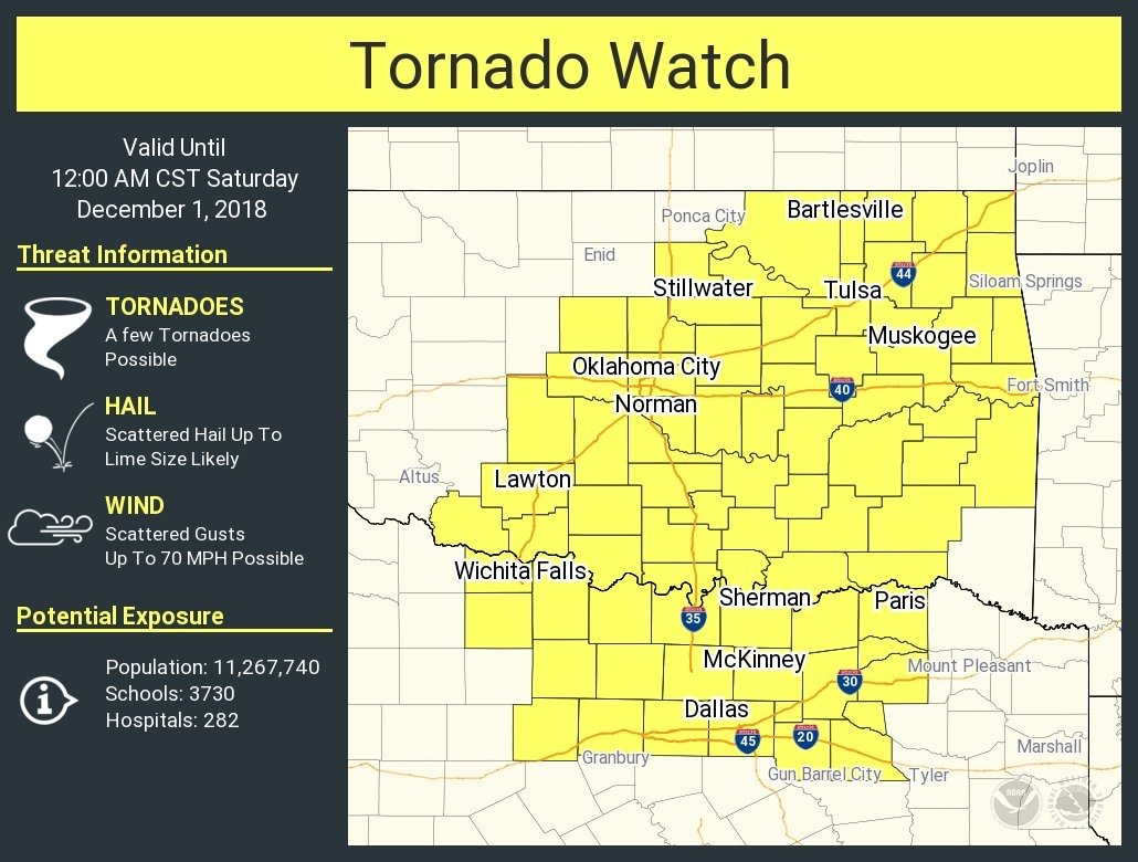
Models have trended more unstable the last couple of days...dew points already to 60 at the Red river and moisture will continue to improve with time....cold temps aloft moving in
models now have SBCAPE to 2000 later this evening
here are the latest 12z outlook form SPC....
DAY 1 CONVECTIVE OUTLOOK
NWS STORM PREDICTION CENTER NORMAN OK
0654 AM CST FRI NOV 30 2018
VALID 301300Z - 011200Z
...THERE IS AN ENHANCED RISK OF SEVERE THUNDERSTORM