
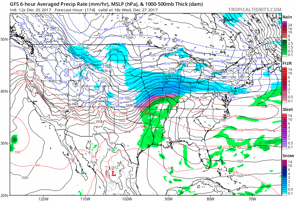
Well, we have the GFS as a lingering holdout, but most other models are indicating the potential for something during this time from near/north of the Ohio River up into parts of WI/MI. Kinda early to get into amounts but if the consensus verifies, could see an area of a few to possibly several inches especially with decent ratios.