
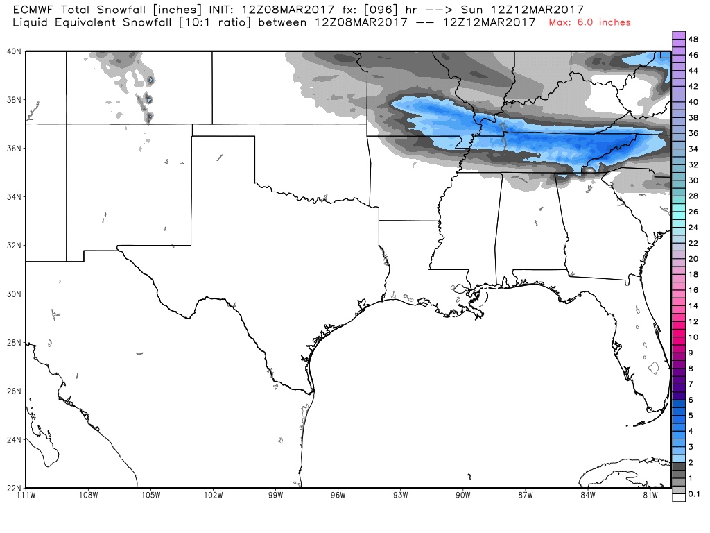
Going to start a thread for what might be winter's last hoorah. Modeling has decided to throw parts of our area a bone and over the last several days there has been a trend further south with the elusive rain/snow line. This is primarily in response to three things.
1. A trend to a stronger low in SE Canada/Northeast US
2. A trend for more ridging out west
3. A trend for a stronger (and perfectly timed) high pressure nosing in from the upper midwest
Let's try and reel o