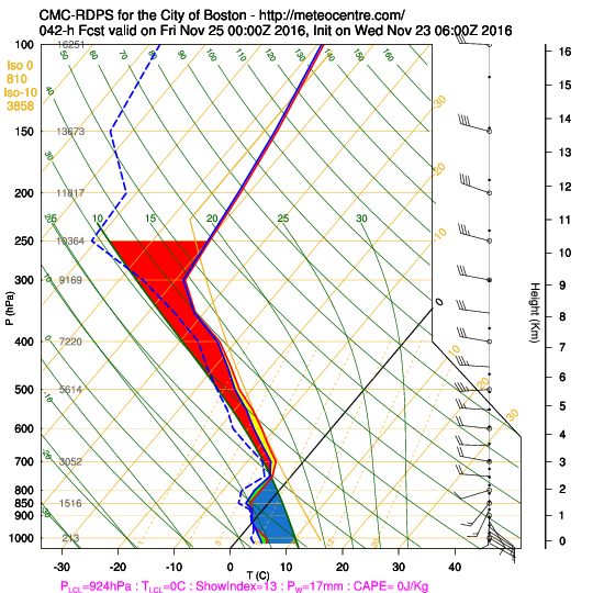
Euro looks like it actually has a bit of weenie LL convergence for T-day north of the pike and into CNE. Could be a light snow most of the day for areas like N ORH county and into a good chunk of VT/NH. It almost looks like a BDF as you head toward night...the high starts imposing a bit more NE flow.
Might have to watch for freezing drizzle too in some spots if ice crystal production shuts off in the clouds....which can happen if things become too much in the low levels.

