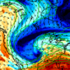
It is like atmospheric magic. A meteorologist could not have co-located everything at once at the same time over one area. Tanking mid level heights with the incoming PV max, the most divergent portion of that upper jet coupling, strong 600-800 frontal forcing, strong low level moist theta-e advection into the frontal circulation, and extreme convergence into the low level cyclone. I am thinking this is going to be ripping heavy TSSN over N IL like nothing before.

