
Hi all,
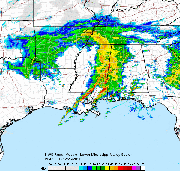
I thought I would start a new thread as we are getting this system into the 3rd and 4th period - where we may start to gain some clearer picture of what will transpire. ...Or at least discuss what that may be with a bit more than mere guess-work.
Right now the top analogs for this event appear to offer a period of ice after front end snow thump for the interior between Rt 2 and the Pike, with a change to rain S of there; but I have to say, I suggest not dropping guard for ice in far