
Though I'd break off a specific storm threat given the potential, albeit slim.
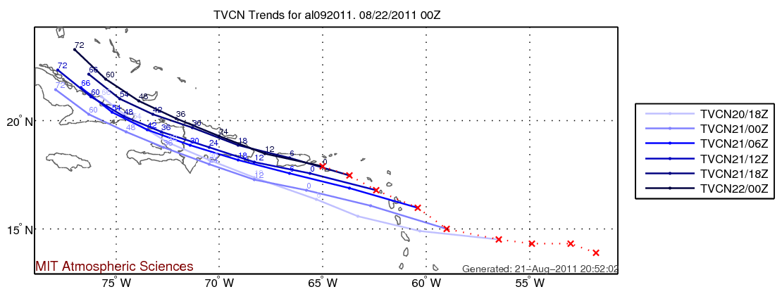
Now that Irene has formed within the past 24h, we have a system that has the potential to impact NE. The storm is sill ~7 days out on the models, but the globals (Euro, GFS, GGEM...) have been hinting at some impacts to the northeast with rains and or wind. The 12z runs from 8-21 give differing scenarios with the GFS inland, GGEM offshore and the Euro somewhere in the middle. At this point all we can do is monitor