
It seems to come up every now and then during severe season, so I thought I'd make a thread on it. Unfortunately there are only a few known photographs of the storm and obviously no radar images that far back.
There is debate whether it was an F4 or F5, but its remained an F4 over the years.
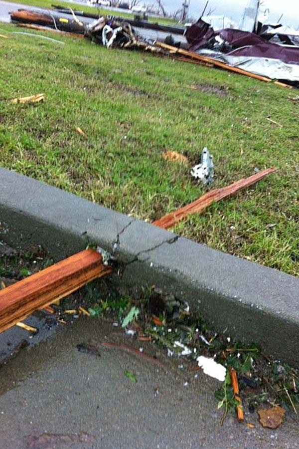
At any rate, here are some images:
Rutland, MA:
Holden, MA
Worcester, MA:
Sfc map around time storm formed